


Today’s Forecast:
A truly beautiful Saturday is ahead in much of Colorado as low pressure pushes east and a ridge of high pressure arrives. Expect mainly sunny skies all day and dry air leading to quick temperature jumps and drops.
Tonight's sunset is at 6:06 PM. Including today, there are 6 more 6:00 PM or later sunsets left this year. The next 6 PM or later sunset after that will not be until March 8th, when daylight saving time resumes in 2026. That makes this your last weekend with a later-afternoon sunset for outdoor activities until 4 months from now. Enjoy the nice weather if you can!
Colorado Springs forecast: High: 67; Low: 36.
Mostly sunny and comfortable. North winds shifting northwest this morning, south winds shifting southeast this afternoon - light all day, at 5-10 mph. Expect isolated patches of fog overnight into early Sunday.
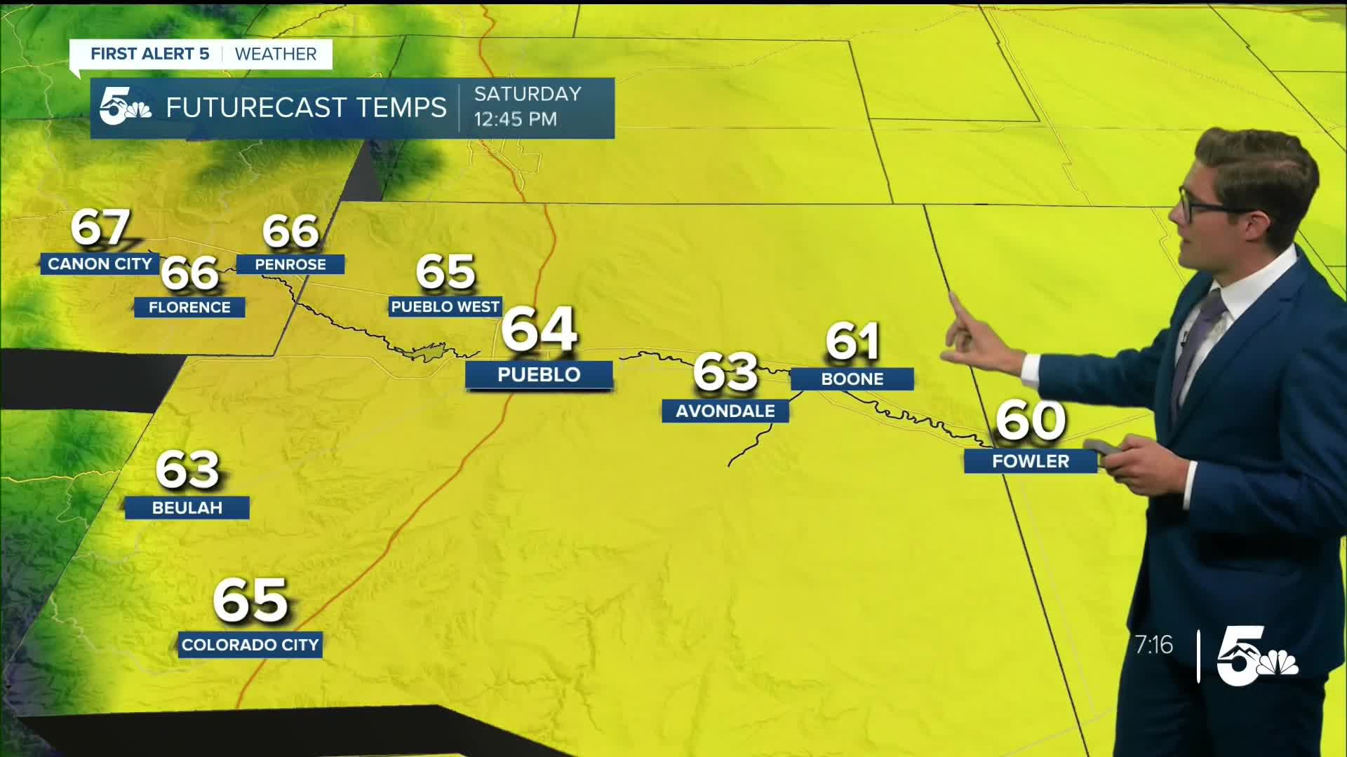
Pueblo forecast: High: 71; Low: 36.
Sunny and very calm - by Colorado standards - all day. Southeast winds in the afternoon at 5-10 mph with a few patches of fog possible early Sunday. Enjoy!
Canon City forecast: High: 71; Low: 42.
Mostly sunny, dry skies, and light winds today. A few clouds will arrive this evening - that's really all there is in the forecast today. Northwest winds, shifting southeast in the PM hours at 5-10 mph.
Woodland Park forecast: High: 61; Low: 34.
Mostly sunny and mild, with west winds that are unusually light - for October in Teller County - at 5-10 mph. Top 10 day.
Tri-Lakes forecast: High: 60s; Low: 30s.
Sunny and mild with highs in the low 60s - northwest winds at 0-10 mph this morning, shifting southeast in a typical diurnal pattern this afternoon at 5-15 mph.
Plains forecast: High: 60s; Low: 40s.
Fog - thick in spots - through 10AM, thinning out into the afternoon and eventually turning mostly sunny. North winds at 5-10 mph.
Walsenburg and Trinidad forecast: High: 67/69; Low: 39/37.
Sunny and pleasant with northwest winds at 5-10 mph.
Mountains forecast: High: 50s/60s; Low: 20s/30s.
Mostly sunny with northwest winds at 5-10 mph.
Extended outlook forecast:
More morning fog is in the cards Sunday across parts of the plains, and it will dissipate through the morning.
Otherwise, Sunday is similar to Saturday with nice conditions overall in southern Colorado with periodic high and mid-level clouds, with similar high temperatures - slightly cooler in the mountains. It will become breezy in the afternoon and evening as the jet stream moves overhead. Showers are possible in the mountains, particularly the northern mountains, which could pick up several inches of snow. A quick sprinkle is also possible in Teller County.
The breezes pick up Sunday night into Monday and continue into Tuesday. A cold front will arrive on Monday leading to a much cooler day on Tuesday. The main front moves through early, but the main push of cold air will arrive in the afternoon - which is a fairly typical pattern in southern Colorado. The front also may bring a weak shower to parts of the Palmer Divide.
The mid week will feature near normal temperatures and sunshine.
____
Curious about the First Alert 5 Weather Storm Impact Scale? Check out our cheatsheet explainer.
Watch KOAA News5 on your time, anytime with our free streaming app available for your Roku, FireTV, AppleTV and Android TV. Just search KOAA News5, download and start watching.
