

Today’s Forecast:
Monday in Southern Colorado did not feel like early February - with the Colorado Springs Airport peaking at a high of 70, and Pueblo's airport warming to 78 degrees - tying the record high for the day, last reached in 1996.
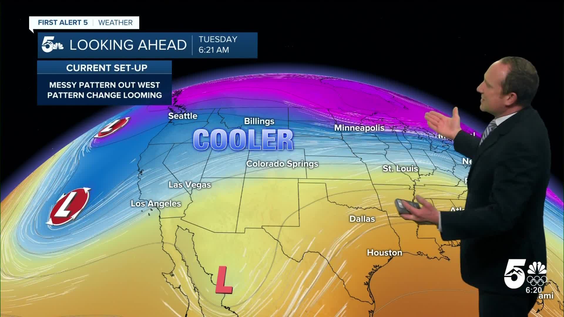
A cold front overnight leads to a seasonal turn in the pattern today. Highs will be as much as 20-25 degrees cooler. In this context, that still leads to above average highs.
While the front is dry in Southern Colorado, the northwestern mountains are picking up some light snow from this system. You'll notice partly to mostly cloudy skies this morning and decreasing clouds in the mid-afternoon. There will be more sunshine today south of U.S. 50. The clouds and light mountain snow are the first stages of what will be a long period of unsettled weather for the state. This will bring beneficial, desperately needed, snow, to the mountains.
Colorado Springs forecast: High: 47; Low: 25. Cooler north winds this morning will turn out of the south and southeast this afternoon in the wake of last night's cold front. Highs today will be much cooler than what we saw on Monday.
Pueblo forecast: High: 52; Low: 23. After we tied the record high in Pueblo yesterday at 78 degrees, our high today in the lower 50s will be more than 25 cooler.
Canon City forecast: High: 51; Low: 30. After warming into the 70s on Monday, Tuesday's highs will be much cooler. Dry skies can be expected once again for eastern Fremont County, with our next chance for precipitation coming later this week.
Woodland Park forecast: High: 45; Low: 25. Even with a cool down to the middle 40s on Tuesday, highs this afternoon in Teller County will still be above average for this time of the year.
Tri-Lakes forecast: High: 40s; Low: 20s. After an unseasonably warm Monday, highs today will be around 20-25 degrees cooler over northern El Paso County. Snow is not expected here until later this week.
Plains forecast: High: 40s/50s; Low: 20s/30s. Breezy to gusty north winds early this morning will turn to the south and southeast this afternoon, with highs today only warming into the 40s and lower 50s.
Walsenburg and Trinidad forecast: High: 40s/50s; Low: 20s/30s. Cooling highs will follow last night's cold front. Early morning winds out of the north will shift to the southeast this afternoon, with gusts to 20 mph.
Mountains forecast: High: 30s/40s; Low: 20s. Dry skies and lighter winds during the day in the southeastern mountains will give way to strengthening southwesterly winds this evening. Peak gusts in the overnight hours will be around 30-40 mph.
Extended outlook forecast:
Highs rebound Wednesday as winds turn southwesterly. This is a downslope wind direction, and it's more common in the spring compared to February. In fact, the system we're tracking has many "spring like" characteristics to it. We typically call a setup like this the "warm before the storm". The downslope, compressional warming will bring highs back to the upper 50s and 60s on the Plains, and you'll see increasing clouds through the day.
Meanwhile, two plumes of moisture will move towards Colorado, one of them a weak atmospheric river from the sub-tropical Pacific. As this moisture rides over the mountains, snow will become widespread, and will be heavy at times. This snow will be most prolific along a line from the eastern San Juans in the south, to the Medicine Bowl range in the north. Therefore, wintery weather won't be an issue in Southern Colorado, including over Ute Pass and La Veta Pass. However, it will be windy over La Veta Pass.
It remains warm Thursday, while snow continues in the mountains as additional upper-level energy arrives. A cold front arrives around sunset, and with it, precipitation chances. Initially, this is likely to be rain due to warm temperatures - again, this is a very spring-like system. Evaporational cooling - a process by which falling rain evaporates into the air, cooling it like a swamp cooler, will help turn this precipitation to a wintery mix to snow later Thursday night. Elevation will be important, with places like the Palmer Divide, and Woodland Park, likely to see accumulating snow. Lower elevations - like Security and Fort Carson, will be more likely to see a rain-snow mix. Expect some travel impacts to the Friday morning commute. The overall accumulations in the Thursday-Friday time frame are not impressive and will be largely wind driven. Upslope flow into terrain features will allow localized enhancements to the flow.
Snow continues on Friday, and this is excellent news for the mountain areas! Southern Colorado is not part of the party. But, by Friday night, the central upper level low that's providing all the moisture and energy begins to pivot eastward through Arizona, then New Mexico. This is typically more favorable for precipitation in Southern Colorado due to the impact it has on wind direction. Therefore we are watching the potential for additional moisture Friday night into Saturday in the Pikes Peak Region. Stay tuned.
____
Curious about the First Alert 5 Weather Storm Impact Scale? Check out our cheatsheet explainer.
Watch KOAA News5 on your time, anytime with our free streaming app available for your Roku, FireTV, AppleTV and Android TV. Just search KOAA News5, download and start watching.
