


Today’s Forecast:
The core of our Arctic airmass is moving southwest through Colorado this morning, while two upper level systems interact. One, a "northern stream" system diving down from the Pacific Northwest, the other, a wet "southern stream" closed low spinning well south - centered over Baja California.
Weather in the United States - and the mid-latitudes in general, is driven by contrasts. It is the contrast in moisture, and temperature, that drives low pressure systems, fronts, precipitation, and wind. In meteorology, we call this baroclinicity...a fun word to say and probably good for scrabble too, which is a better activity than anything outside today.
So - what's going on here? We have an unusually large contrast between moisture and air temperature across the country from north to south. Our southern stream system is more of a typical "spring" type storm system. It has high moisture content, good energy, and the track while fairly far south is a typical one we get in the early Spring. Meanwhile, the polar vortex - a big spinning region of air that's typically centered over the poles, has weakened significantly. This has allowed cold arctic air to bulge outward - very far south of where it's typically trapped. On top of that, we have a more typical northern track disturbance racing down from the Pacific Northwest. Across the plains of the U.S, the final ingredient is Gulf moisture. An unusually strong for January stream of sub-tropical wet air is feeding into the southern United States. This warm and wet air is quickly rising up above the colder, denser polar air, and interacting with all the energy we just talked about. The result is a massive, sprawling, powerful weather system that will have major impacts nationwide this weekend.
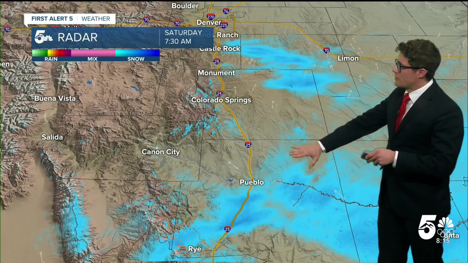
Locally, we deal with everything except the Gulf moisture which is largely why we don't get the impressive snow (and sleet and ice) totals seen by our neighbors to the east. We'll continue to see periodic snow showers today in southern Colorado with low impacts. We saw 0.9" of snow yesterday at the Colorado Springs airport out of 0.02" of actual liquid precipitation. That's an astonishing 1:40+ ratio of rain to snow. This is a reflection of the incredibly cold, and dry, environment.
We will keep clouds today in southern Colorado, and it will stay cold. Highs will only reach the teens with single digit wind chills all day. Cover all exposed skin - frostbite times are reduced in this environment and hypothermia risk is elevated. If your home doesn't have to leave faucets on a slow drip in your home to prevent pipes from bursting in the cold weather.
Some additional energy in the mid-part of the atmosphere arrives this afternoon and will provide some extra focus for more sustained snow showers.
Tonight temperatures will drop back to the single digits for lows.
Winter Weather Advisories are active in Pueblo today. Winter Storm Warnings are in place for high elevations of the southern mountains above 10-11 thousand feet. Cold Weather Advisories are in place for the eastern plains, and the San Luis Valley.
Colorado Springs forecast: High: 15; Low: 3.
It will remain very cold today in southern Colorado. There will be a few breaks of sunshine in the mid morning to early afternoon with high clouds remaining more persistent. Clouds and snow showers redevelop mid-afternoon as additional upper level energy arrives. This will produce an additional 1-2" of snow. Wind chills today stay in the single digits, cover all exposed skin!
Pueblo forecast: High: 12; Low: -1.
WINTER WEATHER ADVISORY in effect until 5:00 AM SUN
Brutal cold today in the ARV. Plan for negative wind chills to, at best, low digit positives. A few breaks in the clouds early today with light snow returning early in the afternoon providing another 1-2" by the evening.
Canon City forecast: High: 18; Low: 2.
WINTER WEATHER ADVISORY in effect until 5:00 AM SUN
Very cold today - that's the headline, with light snow returning this afternoon which provides another 1-2" tonight. Few peaks of filtered sunshine through late morning.
Woodland Park forecast: High: 16; Low: -3.
Very cold once again today, with wind chills in the single digits. Pack the layers. Mostly cloudy, with light snow flurries in the AM, and light low-impact accumulating snow in mid-afternoon. Then turning partly cloudy late tonight. Expect another 1-2" of total accumulation - the cold is the biggest impact to your day today.
Tri-Lakes forecast: High: Teens; Low: 0/Negative.
Brutal cold continues with wind chills in the single digits at best, and back to below zero by 4 PM. You'll get some breaks in the low clouds early this morning, but on the whole it's a mostly cloudy day. Upper level energy returns early this afternoon providing an additional coating-1" of snow.
Plains forecast: High: 5-10; Low: Negatives.
COLD WEATHER ADVISORY until 8 AM SUN
Dangerously cold today, with negative wind chills all day. Cover all exposed skin to avoid frostbite and hypothermia risks. Mostly cloudy with light afternoon snow showers accumulating between a coating - 1".
Walsenburg and Trinidad forecast: High: 17/20; Low: 0/2.
WINTER WEATHER ADVISORY in effect until 5:00 AM SUN
Light morning snow showers, then mostly cloudy early in the afternoon, with more light snow arriving around dinnertime. Today's combined snow totals should run 1-3" (this does not include what fell yesterday). Very cold with wind chills struggling to move above the middle single digits.
Mountains forecast: High: 10s; Low: Negatives.
WINTER WEATHER ADVISORY in effect until 5 AM Sunday
Periodic light snow and very cold. Snow will be off-and-on, and will even be aspect dependent. On the whole, the Wet Mountains should see 2-4" of new accumulations today.
Extended outlook forecast:
The sky will clear overnight between storm systems, and Sunday morning will be cold and mainly clear with low wind chills once again. Clouds return in the early afternoon, and light snow showers will impact the area in the evening associated with another Arctic cold front. Highs will remain cold in the low 20s. The Broncos game will be very cold with temperatures in the 20s to teens, wind chills in the single digits. It will turn breezy after the front arrives with gusts out of the northeast to 20 mph, decreasing through the game.
Behind the next front, lows Sunday night will turn negative for parts of the region once again. Monday morning wind chills will also be very cold across southern Colorado - well negative. Skies will also clear out early Monday.
We'll begin to warm on Monday as the core of the cold air shifts east but temperatures remain below average as snow across the plains reflects sunlight back to space.
A more moderate trend is in store mid-week with seasonal highs in the mid-40s and partly cloudy skies.
____
Curious about the First Alert 5 Weather Storm Impact Scale? Check out our cheatsheet explainer.
Watch KOAA News5 on your time, anytime with our free streaming app available for your Roku, FireTV, AppleTV and Android TV. Just search KOAA News5, download and start watching.
