

Today’s Forecast:
More sizzle in our Wednesday forecast as highs across the Plains return to the 90s and 100s. Another weak disturbance will have a little more moisture to work with today versus what we saw yesterday. This is likely to bring a few isolated high based showers to the mountains this afternoon and evening, with a rogue shower possible in Teller County. Dry air at the surface will limit coverage today, with more virga and wind than anything else.
Colorado Springs forecast: High: 92; Low: 64. More heat and sunshine on Wednesday for the Pikes Peak Region. Increasing clouds this afternoon could bring a sprinkle or two to our forecast, and maybe some temporary relief from today's sizzling hot temperatures.
Pueblo forecast: High: 101; Low: 64. Even with a few more clouds this afternoon, we're likely to hit the triple digits in Pueblo for the second day in a row.
Canon City forecast: High: 98; Low: 66. A mild morning will give way to another hot day as our mini heat wave continues on Wednesday.
Woodland Park forecast: High: 83; Low: 53. A quick warm up today will allow for temperatures to return to the 80s this afternoon over Teller County. An isolated shower also can't be ruled out.
Tri-Lakes forecast: High: 80s; Low: 60s. Mostly sunny skies will give way to a partly cloudy to mostly cloudy afternoon, with a few sprinkles possible along and near the Palmer Divide.
Plains forecast: High: 90s/100s; Low: 60s. Hot, dry and sunny for the Plains on Wednesday. Find a way to keep cool and try to limit time spent outside during the hottest part of the day.
Walsenburg and Trinidad forecast: High: 80s/90s; Low: 50s/60s. Hot and dry most of the day, with only around a 10% chance of a rogue thundershower this afternoon across the southern I-25 corridor.
Mountains forecast: High: 70s/80s; Low: 40s/50s. Sunshine this morning will give way to a mostly cloudy afternoon in the mountains. A few isolated thunderstorms will be possible, but severe weather is not expected to be a problem today.
Extended outlook forecast:
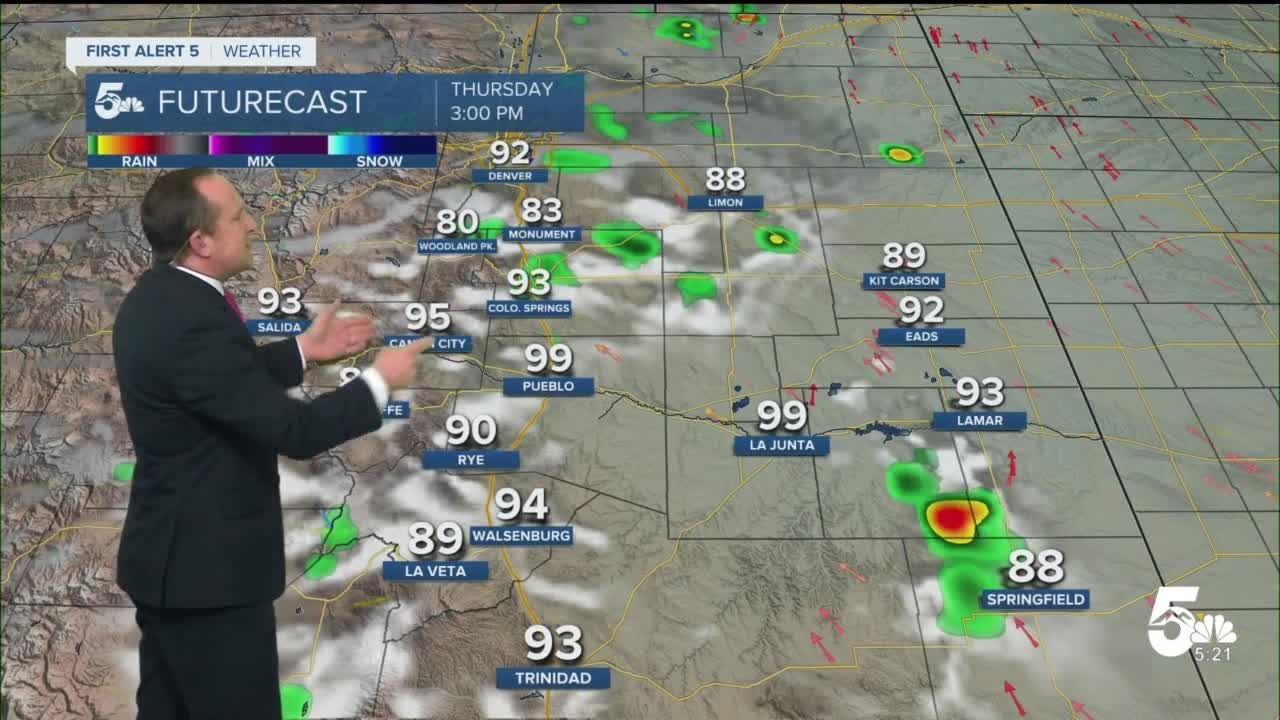
We can expect one last day of heat on Thursday before a brief break in the heat. A slightly better chance of an isolated thunderstorms will be possible in parts of Southern Colorado on Thursday, including the Pikes Peak Region. Friday now looks pretty dry, with just a spotty storm possible.
Rain chances will pick up on Saturday, and this looks to be our coolest and most unsettled day of the next seven. That said, the cool down won't last long as dry and hot weather looks to return by early next week.
____
Curious about the First Alert 5 Weather Storm Impact Scale? Check out our cheatsheet explainer.
Watch KOAA News5 on your time, anytime with our free streaming app available for your Roku, FireTV, AppleTV and Android TV. Just search KOAA News5, download and start watching.
