

Today’s Forecast:
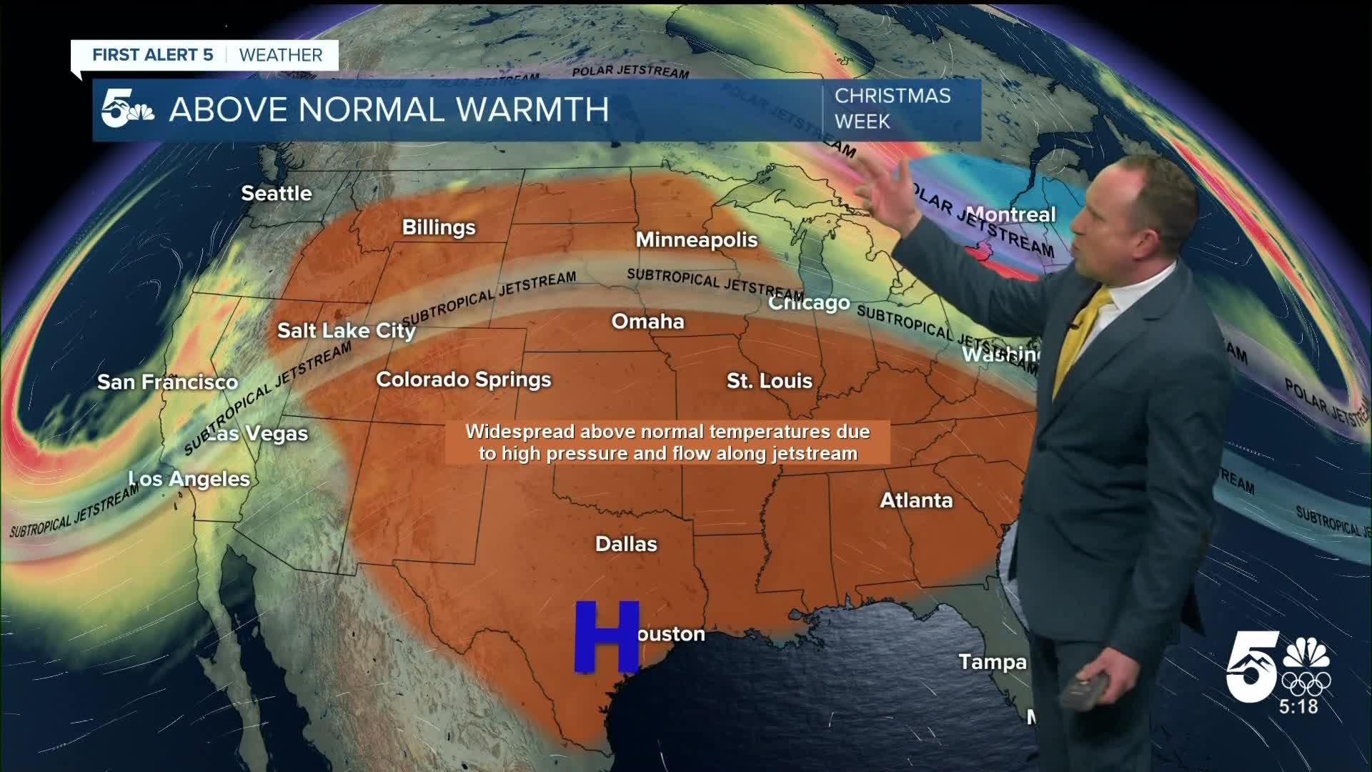
After record breaking warmth on Monday, highs will be around 5-10 degrees cooler this afternoon across Southern Colorado. Even with these modest cooling trends, daytime highs will remain some 15-25 degrees above average for this time of year.
The wind will be lighter today, with mostly sunny to partly cloudy skies. Although moisture would be nice, we aren't expecting any snow in the state for the next 12-24 hours.
Colorado Springs forecast: High: 64; Low: 39. After a record breaking high of 72 degrees on Monday, today will be slightly cooler, with our high this afternoon topping out in the middle 60s.
Pueblo forecast: High: 68; Low: 35. Less windy and slightly cooler on Tuesday, with today's high in the upper 60s. To put it into perspective, our average high this time of the year is 47 degrees.
Canon City forecast: High: 67; Low: 41. With winter still on pause, today's weather will be dry and less windy, with a slight cool down compared to yesterday.
Woodland Park forecast: High: 59; Low: 35. With an average high in the 30s, our weather will remain well above that again today, with our high this afternoon topping out near 60 degrees.
Tri-Lakes forecast: High: 60s; Low: 30s/40s. Temperatures will be cooler today by as much as 5-10 degrees, but even with today's modest cool down, highs will be around 20-25 degrees above average.
Plains forecast: High: 60s/70s; Low: 30s/40s. Tuesday's forecast will less windy, dry and warm. Although highs will be cooler than yesterday, some areas could still top the 70 degree mark today.
Walsenburg and Trinidad forecast: High: 60s/70s; Low: 30s/40s. Breezy and mild on Tuesday, with temperatures this afternoon warming into the upper 60s and lower 70s. Southerly winds today will be around 10-15 mph.
Mountains forecast: High: 40s/50s; Low: 20s/30s. Mild and breezy on Tuesday, with snow not expected for the next 12-24 hours. On Wednesday, snow will increase across the high country, mainly for the San Juans, central and northern mountains. Not much snow is expected to hit the Sangres or Wets.
Extended outlook forecast:
Christmas Eve and Christmas Day will be warm and dry across the Pikes Peak Region, with afternoon highs running as much as 20-25 degrees above average. Christmas Eve's high in Colorado Springs will be around 66 degrees, with our low tomorrow night only cooling down to near 40 degrees. Christmas Day's high of 68 degrees could be warm enough to break the current record high of 67 degrees, last set in 1971.
Friday will be a little cooler ahead of a more pronounced cooldown this weekend. Saturday's high will be around 50 degrees, with 40s for highs both Sunday and Monday. A strong cold front Saturday night will bring heavy snow to the mountains and will also bring a chance for snow showers into the Pikes Peak Region. There's not a lot of confidence for snow at this point in Colorado Springs, but it may be our only shot for precipitation for the rest of 2025. Stay tuned...
____
Curious about the First Alert 5 Weather Storm Impact Scale? Check out our cheatsheet explainer.
Watch KOAA News5 on your time, anytime with our free streaming app available for your Roku, FireTV, AppleTV and Android TV. Just search KOAA News5, download and start watching.
