


Today’s Forecast:
What a difference 24 hours makes! Following brutal cold Monday morning, you'll walk outside this morning to temperatures in the 30s in Colorado Springs - a solid 35-40 degrees warmer than yesterday morning's negative temperatures. The feels like temperature contrast is even more stark - as we've replaced the -20s with feels like numbers close to the air temperature...a 50+ degree difference! Continuing with the impressive numbers - yesterday's low of -9 in Colorado Springs pivoted to a high of 44...a change of 53 degrees. These large swings were widespread across the eastern half of the state as the Arctic air gripping the region through the weekend departed.
Northwesterly upper level winds create a downslope warmup effect today as upper level ridging begins to rebuild to the west. Highs will warm to the 40s and low 50s on the Plains, with cloudy skies turn to sunshine. It's worth noting that winds are most likely to downslope west of I-25, and upslope east of I-25, so this will be a day where the air temperature may vary by 5 degrees as you drive east to west across town.
Colorado Springs forecast: High: 47; Low: 18. After near average highs on Monday, highs will warm another couple of degrees today, topping out in the upper 40s.
Pueblo forecast: High: 50; Low: 12. Mostly cloudy skies early will give way to a sunny and mild afternoon, with our high today warming back to near the 50 degree mark.
Canon City forecast: High: 50; Low: 25. Overcast skies this morning will give way to a bright and mild afternoon. Temperatures today in eastern Fremont County will warm into the upper 40s and lower 50s.
Woodland Park forecast: High: 39; Low: 16. NW winds will be sustained at 10-15 mph on Tuesday, with cloudy skies early giving way to sunshine and upper 30s this afternoon.
Tri-Lakes forecast: High: 40s; Low: 10s/20s. We have undergone a huge transition over the past 24 hours, going from sub-zero temperatures Monday morning to above average highs this afternoon.
Plains forecast: High: 40s; Low: 0s/10s. Lingering cold this morning on the Plains will give way to a bright and mild afternoon as highs climb into the 40s. Tonight will be cold again, with some areas dropping back down to the single digits.
Walsenburg and Trinidad forecast: High: 40s; Low: 10s/20s. Mild and sunny this afternoon, with decreasing clouds and dry skies across the southern I-25 corridor. NW wind gusts this morning to 35 mph, with decreasing wind this afternoon.
Mountains forecast: High: 20s/30s; Low: 0s/10s. Breezy to gusty this morning, with both decreasing wind and decreasing clouds this afternoon. Highs will warm into the 20s and 30s Tuesday afternoon across the high country.
Extended outlook forecast:
If you're a fan of winter, hopefully you got your fill this weekend. We're back to persistent ridging throughout this week - a pattern that's been all but ubiquitous across the Intermountain West this winter, and that means warming temperatures, and relatively dry air. Modest moisture may preclude the development of widespread elevated fire danger concerns. But in the mountains, the dry air will lead to increased sublimation - the direct transition of snow in the mountains to water vapor in the atmosphere.
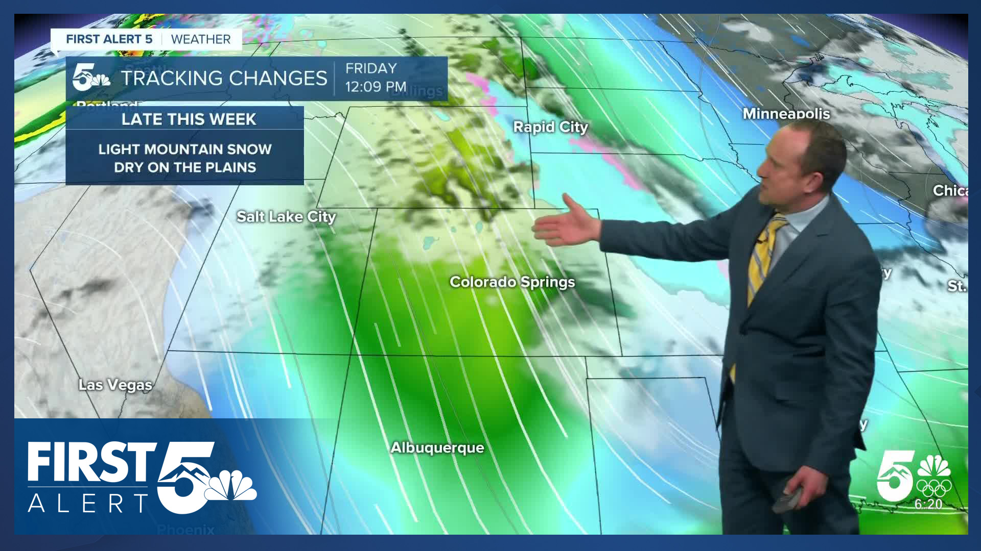
Wednesday will warm a few degrees relative to today to the upper 40s and lower 50s. An upper level disturbance will push cooler air into the region Wednesday night so Thursday and Friday will be a bit cooler. Ridging remains this weekend keeping Colorado high and dry. Meanwhile, more historic cold will impact the eastern U.S.
____
Curious about the First Alert 5 Weather Storm Impact Scale? Check out our cheatsheet explainer.
Watch KOAA News5 on your time, anytime with our free streaming app available for your Roku, FireTV, AppleTV and Android TV. Just search KOAA News5, download and start watching.
