Tonight's Forecast:
Westerly flow has led to scattered rain and snow showers, and even some thunderstorms over the mountains this evening. Some storms could drift as far east as Teller and Fremont counties. During the overnight hours our airmass is expected to dry out, giving way to chillier lows than what we saw last night.
COLORADO SPRINGS: Low: 44; High: 75. Sunday will be sunny and warm across the Pikes Peak Region, with a high in the middle 70s.
PUEBLO: Low: 46; High: 79. Cool and clear early, with a few passing afternoon clouds and warm afternoon highs for Pueblo. Rain is not expected on Sunday.
CANON CITY: Low: 48; High: 76. Our weather overall on Sunday will be bright and warm. We can't rule out a passing afternoon shower Sunday afternoon, although more favorable chances for rain will be over the mountains.
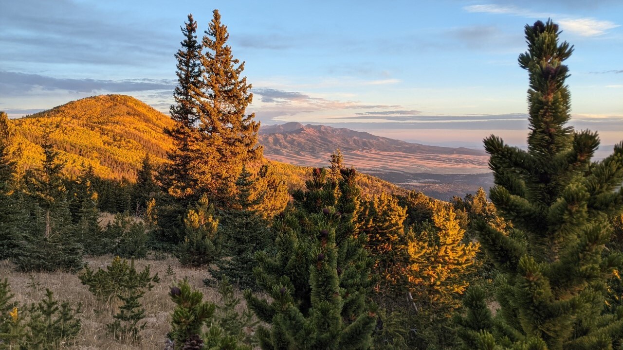
WOODLAND PARK: Low: 37; High: 65. Sunday's forecast will be perfect for getting outside to enjoy this gorgeous fall weather, with just a small chance of rain for the afternoon hours.
TRI-LAKES: Low: 30s/40s; High: 60s/70s. A sunny and cool morning will give way to a partly cloudy and mild afternoon, with highs about 2-5 degrees warmer than today.
PLAINS: Low: 40s; High: 70s/80s. After a few cooler days, a warm end to the weekend is expected for the Plains as highs climb into the upper 70s and lower 80s.
WALSENBURG/TRINIDAD: Low: 30s/40s; High: 60s/70s. Sunshine early will give way to increasing clouds and the potential for an isolated shower or thunderstorm Sunday afternoon.
MOUNTAINS: Low: 30s/40s; High: 50s/60s. A drier day on Sunday, with only a few isolated rain or snow showers in the forecast mostly south of Highway 50.
Extended Outlook:
More great weather is expected as we head into early next week, with highs remaining around 5-10 degrees above average. A weak disturbance coming out of the Desert Southwest on Wednesday will need to be watched closely. For now, it looks to stay pretty far to our west, with rain and snow chances highest for areas along and west of the Continental Divide. If that disturbance jogs a little to the east, precipitation chances could improve here locally, so stay tuned.
KOAA News5 on your time, streaming on your Roku, FireTV, AppleTV and AndroidTV.
News5 App | First Alert 5 Weather App | Youtube | Facebook | Instagram | Twitter


