


Tonight's Forecast:
A mellow night of weather ahead for Southern Colorado as high pressure continues to keep us high and dry. The cold air that has stayed put over the San Luis Valley since late last week will continue to bring single digits and negative lows to the forecast in this area. For the rest of us, lows tonight will drop down to the 10s and 20s.
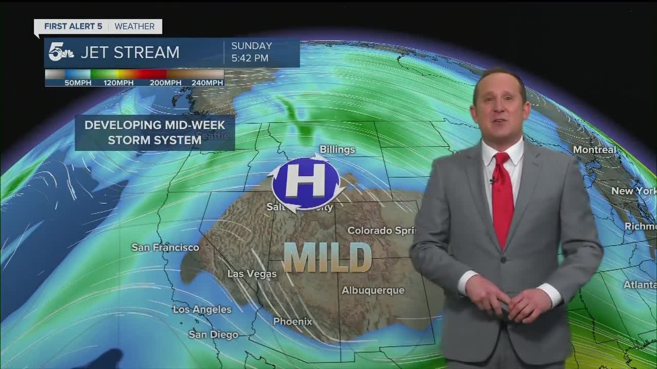
COLORADO SPRINGS: Low: 25; High: 59. Sunshine and above normal temperatures will combine to bring the Pikes Peak Region another great day of weather before a significant mid-week storm delivers a wintry blast.
PUEBLO: Low: 18; High: 62. In Pueblo, you'll want to take advantage of those 60s on Monday because by the middle of the week, highs will be more than 40 degrees colder.
CANON CITY: Low: 29; High: 61. Partly cloudy and mild on Monday before what's expected to be the snowiest and coldest storm of the season beginning late Tuesday.
WOODLAND PARK: Low: 19; High: 48. In spite of partly to mostly cloudy skies, temperatures will remain above average throughout Teller County on Monday before a cold snap moves in for the rest of the week.
TRI-LAKES: Low: 20s; High: 50s. Mild Monday highs will quickly transition to cold and snowy weather Tuesday after a cold front drops into the Palmer Divide and Southern Colorado.
PLAINS: Low: 10s/20s; High: 60s. Sunshine early will help to deliver an unseasonably warm day of weather the to the Plains on Sunday. We're expecting widespread 60s for highs, with a few areas in Baca County possibly reaching the 70 degree mark.
WALSENBURG/TRINIDAD: Low: 20s; High: 50s/60s. Sunny and mild early followed by increasing clouds Monday night ahead of a potent and dynamic storm that will bring cold and snow to our mid-week forecast.
MOUNTAINS: Low: 10s/20s; High: 30s/40s. Dry and windy for the mountains on Monday. Strengthening westerlies across the higher elevations will bring the potential for 30-40 mph wind gusts to the high country of Colorado.
Extended Outlook:
An early morning cold front Tuesday will set the stage for a cold and snowy mid-week forecast for Southern Colorado. With more high resolution data becoming available, we're looking at a better chance for what could be the coldest and snowiest storm of the season. Snow is expected to fill into the mountain regions during the day on Tuesday before reaching the I-25 corridor and eastern Plains Tuesday night and Wednesday. We can expect the worst of the storm through late Wednesday morning, with the mid-week commutes likely becoming very difficult to navigate as streets become snow covered and icy. Here's our best look at snowfall totals for the region this far out.
Impactful mid-week storm will deliver some healthy amounts of snowfall to Southern Colorado. Most of the snow for the I-25 corridor I think will fall from Tuesday evening to Wednesday morning. #cowx pic.twitter.com/tffSJb8u9W
— Alan Rose (@AlanRoseWX) January 30, 2022
The other big story will be the frigid weather that comes along with the storm. Highs Wednesday and Thursday will only warm into the teens in most areas, with lows Wednesday and Thursday night dropping down to the single digits and negative territory.
____
Watch KOAA News5 on your time, anytime with our free streaming app available for your Roku, FireTV, AppleTV and Android TV. Just search KOAA News5, download and start watching.
