

Today’s Forecast:
Other than an isolated snow shower in the high country, our weather on Tuesday will be pretty nice! Temperatures will warm by around 3-5 degrees from what we saw yesterday, with highs on the Plains topping out in the 60s in most areas. Our mountains and mountain valleys will see highs this afternoon in the 30s, 40s and 50s, with light winds expected region-wide.
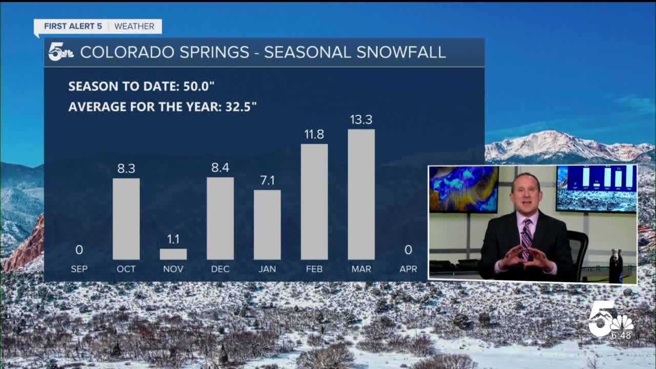
Colorado Springs forecast: High: 60; Low: 35. After a really active and busy stretch of weather since late last week, today's quiet forecast will be a nice change, with our high of 60 degrees right around today's average high.
Pueblo forecast: High: 63; Low: 34. A mild mix of sun and clouds can be expected for the Steel City this afternoon as our daytime high warms by a couple of degrees from yesterday.
Canon City forecast: High: 61; Low: 37. Light southeasterly breezes and mostly sunny to partly cloudy skies today for the Canon City area, where a high in the lower 60s is expected.
Woodland Park forecast: High: 52; Low: 25. Tuesday's forecast will be partly cloudy and dry, with lower 50s for a daytime high today.
Tri-Lakes forecast: High: 50s; Low: 30s. Mild highs, light breezes and partly cloudy skies on Tuesday for northern El Paso County. Rain or snow is not expected today.
Plains forecast: High: 60s; Low: 30s. The wind will remain light again on Tuesday on the Plains, with southeasterly breezes of 10-15 mph, and highs today in the lower to middle 60s.
Walsenburg and Trinidad forecast: High: 50s/60s; Low: 20s/30s. Other than a few fair weather clouds, Tuesday's forecast will be great thanks to light winds and mild afternoon highs.
Mountains forecast: High: 30s/40s; Low: 10s/20s. Other than a weak chance of a light snow shower or two in the high country, today's forecast will be pretty nice, with light winds and 30s & 40s for daytime highs.
Extended outlook forecast:
A weak clipper system to our north will send a cold front through the Plains early Wednesday morning. Behind the front, it will be breezy tomorrow, with 20-30 mph gusts in our forecast. A chance of snow showers will return to the mountains late tonight and Wednesday, with only a very small chance of a shower reaching the lower elevations of the Pikes Peak Region.
Dry air returns late this week, with highs going from the 60s on Thursday to the 70s and 80s on the Plains by Friday. The 70s and 80s will stick around into the upcoming weekend. Along with the warmth will come a breezy to gusty forecast, with high fire danger threats ramping up as we head towards the weekend.
____
Curious about the First Alert 5 Weather Storm Impact Scale? Check out our cheatsheet explainer.
Watch KOAA News5 on your time, anytime with our free streaming app available for your Roku, FireTV, AppleTV and Android TV. Just search KOAA News5, download and start watching.
