



Today’s Forecast:
Labor Day weekend will end on a hot note! Highs this afternoon will soar into the 90s and 100s on the Plains, with some very warm 70s and 80s in the mountains.
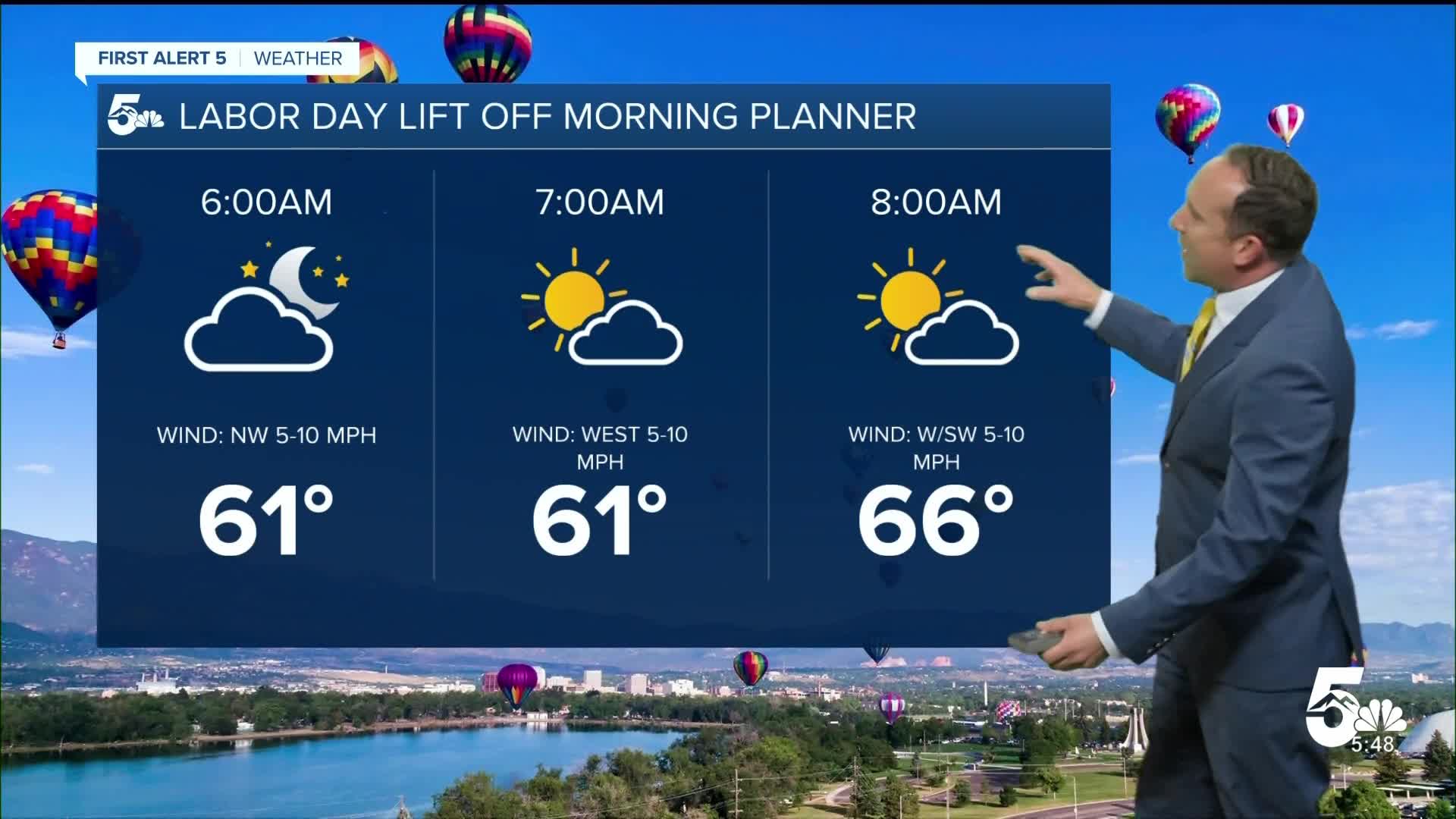
A storm system crossing the northern Rockies, plus additional moisture from what was once Hurricane Marie, will lead to elevated chances for rain this afternoon from the southeastern mountains to the Plains. If you're planning a pool day after the last balloon launch of the weekend at Memorial Park, the best hours in the pool will be between 10 am and 2 pm. Anytime after 2-3 pm will be fair game for scattered storms in the Pikes Peak Region and Southern Colorado.
Colorado Springs forecast: High: 91; Low: 60. It has been a hot start to September, and Labor Day will offer up much of the same. Highs will warm into the lower 90s, with scattered thunderstorms possible this afternoon and evening.
Pueblo forecast: High: 98; Low: 63. Labor Day will be the last day of the year to check out the Colorado State Fair. If you're heading out to the fairgrounds today, bring water, a hat and sunscreen to help combat the heat.
Canon City forecast: High: 95; Low: 65. Partly cloudy skies this morning will give way to a hot afternoon, with increasing clouds and a potential threat of rain as we wrap up the holiday weekend.
Woodland Park forecast: High: 81; Low: 52. Temperatures will be warm on Labor Day, but with showers and thunderstorms this afternoon, temperatures may briefly drop as storms move through our area.
Tri-Lakes forecast: High: 80s/90s; Low: 50s/60s. It will be a warm Labor Day afternoon along the Palmer Divide, with skies turning stormy and unsettled after 1-2 pm.
Plains forecast: High: 90s/100s; Low: 60s/70s. Labor Day heat will be hot and windy during the day, with peak gusts around 30-40 mph. Late this afternoon and evening, scattered storms will arrive, capable of more gusty wind, lightning, and moderate to heavy rain.
Walsenburg and Trinidad forecast: High: 80s/90s; Low: 50s/60s. A warm and gusty Labor Day can be expected across the southern I-25 corridor, with a few isolated to spotty thunderstorms this afternoon.
Mountains forecast: High: 70s/80s; Low: 40s/50s. Dry skies this morning will give way to scattered showers and thunderstorms this afternoon in the high country. Storms will be capable of heavy downpours, gusty winds and frequent lightning.
Extended outlook forecast:
The first of several cold fronts that we'll see this week will drop highs by around 3-5 degrees on Tuesday. Even with the cool down, we should still warm into the middle 80s in Colorado Springs and the lower 90s in Canon City and Pueblo. Scattered thunderstorms will again be possible towards the afternoon and early evening hours.
Another front on Wednesday will drop highs down to the lower 80s in Colorado Springs, with one last push of afternoon storms before drier skies return late this week.
____
Curious about the First Alert 5 Weather Storm Impact Scale? Check out our cheatsheet explainer.
Watch KOAA News5 on your time, anytime with our free streaming app available for your Roku, FireTV, AppleTV and Android TV. Just search KOAA News5, download and start watching.
