



Today’s Forecast:
Drier air will punch into the state today, limiting storm chances across Southern Colorado. We can't completely rule out some isolated storms this afternoon, but with dry air towards the surface, these storms will generate more wind than rain today. Our best chances for rain will be across the higher terrain, along the southern I-25 corridor, and into the far eastern Plains.
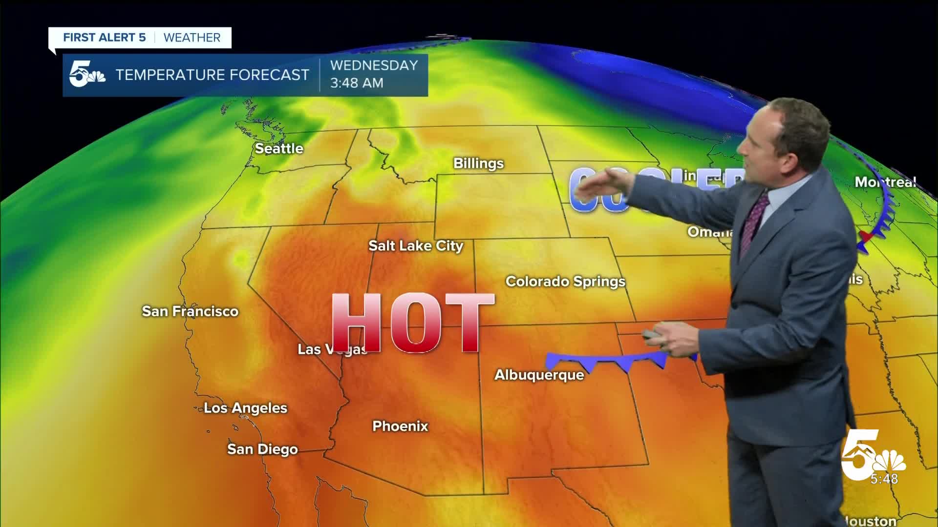
This afternoon will be hot, under partly to mostly cloudy skies. Temperatures will soar into the 90s and 100s on the Plains, with 70s and 80s for the higher terrain. Today's cold front will bring around 5-10 degrees of cooling to our forecast on Wednesday.
Colorado Springs forecast: High: 92; Low: 59. After a five-day break from the 90s, toasty temperatures will return to the Pikes Peak Region on Tuesday. Skies will turn partly to mostly cloudy this afternoon as dry thunderstorms move off of the mountains.
Pueblo forecast: High: 99; Low: 63. We'll be flirting with triple digits this afternoon in Pueblo, with today's high of 99 degrees expected to be our hottest high temperature in a week. Skies will remain mostly dry this afternoon, with increasing thunderstorm chances Wednesday.
Canon City forecast: High: 97; Low: 63. The heat is on (again) this afternoon in Canon City and eastern Fremont County. Temperatures will soar into the upper 90s today under partly to mostly cloudy skies.
Woodland Park forecast: High: 83; Low: 51. Tuesday's forecast will be warm and gusty, with low-end rain chances across Teller County. Given dry air towards the surface, storms will bring more wind than rain to our forecast today.
Tri-Lakes forecast: High: 80s/90s; Low: 50s. After nearly a week break from the heat, temperatures will soar into the 80s and lower 90s this afternoon around Monument Hill. Skies will turn mostly cloudy this afternoon, with gusty showers possible after 2 pm.
Plains forecast: High: 90s/100s; Low: 60s. It will be a roasty Tuesday afternoon on the Plains, where some areas could see temperatures as hot as 100-103 degrees. Later this evening as a cold front passes through, a chance for spotty thunderstorms will be possible.
Walsenburg and Trinidad forecast: High: 80s/90s; Low: 50s/60s. Toasty temperatures will return to our forecast on Tuesday, with mostly dry skies expected for areas nearby the interstate. A few gusty showers will be possible this evening.
Mountains forecast: High: 70s/80s; Low: 40s/50s. Showers will be somewhat limited today in the high country, keeping the threat for flooding low for the next 24 hours in the Aspen Acres burn scar.
Extended outlook forecast:
Wednesday's forecast will be cooler and more unsettled. Highs will cool down by as much as 5-10 degrees across Southern Colorado, with our high in the Springs warming into the middle 80s. Scattered showers and thunderstorms will return to our forecast as well, with strong to severe thunderstorms possible in the Pikes Peak Region, along with an increased risk of flash flooding in the Aspen Acres burn scar.
By Thursday, moisture will retreat towards the mountains, with very small chances for rain in Colorado Springs. Highs will return to the 90s on Thursday, with 90-degree heat continuing throughout the weekend. On the eastern Plains, highs will soar into the upper 90s and lower 100s for Pueblo and the eastern Plains.
Chances for rain will remain at or below 20% in Colorado Springs through Saturday before increasing Sunday into early next week. Any storms late this week will mainly occur near the higher terrain.
____
Curious about the First Alert 5 Weather Storm Impact Scale? Check out our cheatsheet explainer.
Watch KOAA News5 on your time, anytime with our free streaming app available for your Roku, FireTV, AppleTV and Android TV. Just search KOAA News5, download and start watching.
