



Today’s Forecast:
Hot highs and slightly more humid weather can be expected on Friday as the monsoon plume over New Mexico begins to stream into Southern Colorado. We'll also see the potential for moisture from Hurricane Marie to move towards the Four Corners Region on Friday, with that moisture sticking around this weekend. Storms today will favor the mountains and southern zones near the New Mexico and Colorado border.
Highs today will warm back into the 90s and lower 100s on the Plains. Highs in the mountains and mountain valleys will warm into the 70s and 80s. If you're planning a trip into the central mountains today to see the fall colors, your best bet for calm weather is going to be the morning hours.
Colorado Springs forecast: High: 81; Low: 60. We've missed the 90s by just one degree each of the past two days. Today we should get there with a near record breaking high of 91. Our current record for today is 93, and dates back to 1899.
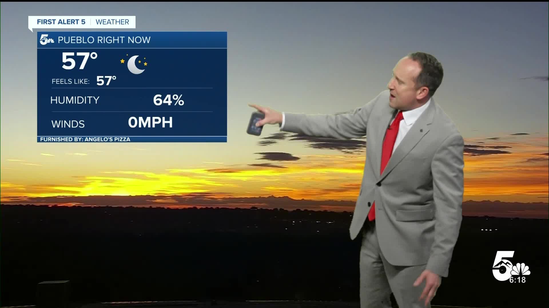
Pueblo forecast: High: 97; Low: 61. Hot and mainly dry weather can be expected on Friday, with temperatures soaring into the upper 90s.
Canon City forecast: High: 94; Low: 63. Mostly clear skies this morning will give way to a partly cloudy, humid and hot afternoon. Highs today will be around 10 degrees above average.
Woodland Park forecast: High: 81; Low: 53. A nice and cool morning will give way to partly to mostly cloudy skies this afternoon, along with a low end chance of a shower or thunderstorm.
Tri-Lakes forecast: High: 80s; Low: 50s. Friday will be hot and more humid than the past few days, with a very small chance of an afternoon shower or thunderstorm.
Plains forecast: High: 90s/100s; Low: 60s. Our work week will end on a hot and muggy note. With monsoonal moisture pushing into the Plains this afternoon from New Mexico, portions of our southeastern Plains could see a few showers or thunderstorms.
Walsenburg and Trinidad forecast: High: 80s/90s; Low: 50s/60s. The heat will combine with an increase in moisture today to allow for at least a few isolated thunderstorms this afternoon. Rain chances will increase this weekend.
Mountains forecast: High: 70s/80s; Low: 40s.50s. An increase in sub-tropical moisture will spread more clouds into our forecast today, and allow for a chance for scattered thunderstorms this afternoon.
Extended outlook forecast:
Temperatures may cool a few degrees this weekend, warming to near 90 degrees each afternoon in Colorado Springs. Otherwise, our weather pattern appears to change very little. Storms will remain very much confined to the mountains and higher terrained areas this weekend, as well as the far southeastern Plains. In the Springs, we are trending drier this weekend, with daily rain chances only around 10-20%.
Labor Day morning looks nice and dry, but storm chances will increase by the afternoon. Highs will warm into the lower 90s on Monday before returning to the 80s for the rest of the week.
____
Curious about the First Alert 5 Weather Storm Impact Scale? Check out our cheatsheet explainer.
Watch KOAA News5 on your time, anytime with our free streaming app available for your Roku, FireTV, AppleTV and Android TV. Just search KOAA News5, download and start watching.
