

Today’s Forecast:
High pressure over the central U.S. will bring the warmth today to Southern Colorado. Highs this afternoon will warm into the 80s from Colorado Springs to Pueblo to Canon City. Some of the warmest parts of the state on the eastern Plains could flirt with 90 degrees this afternoon!
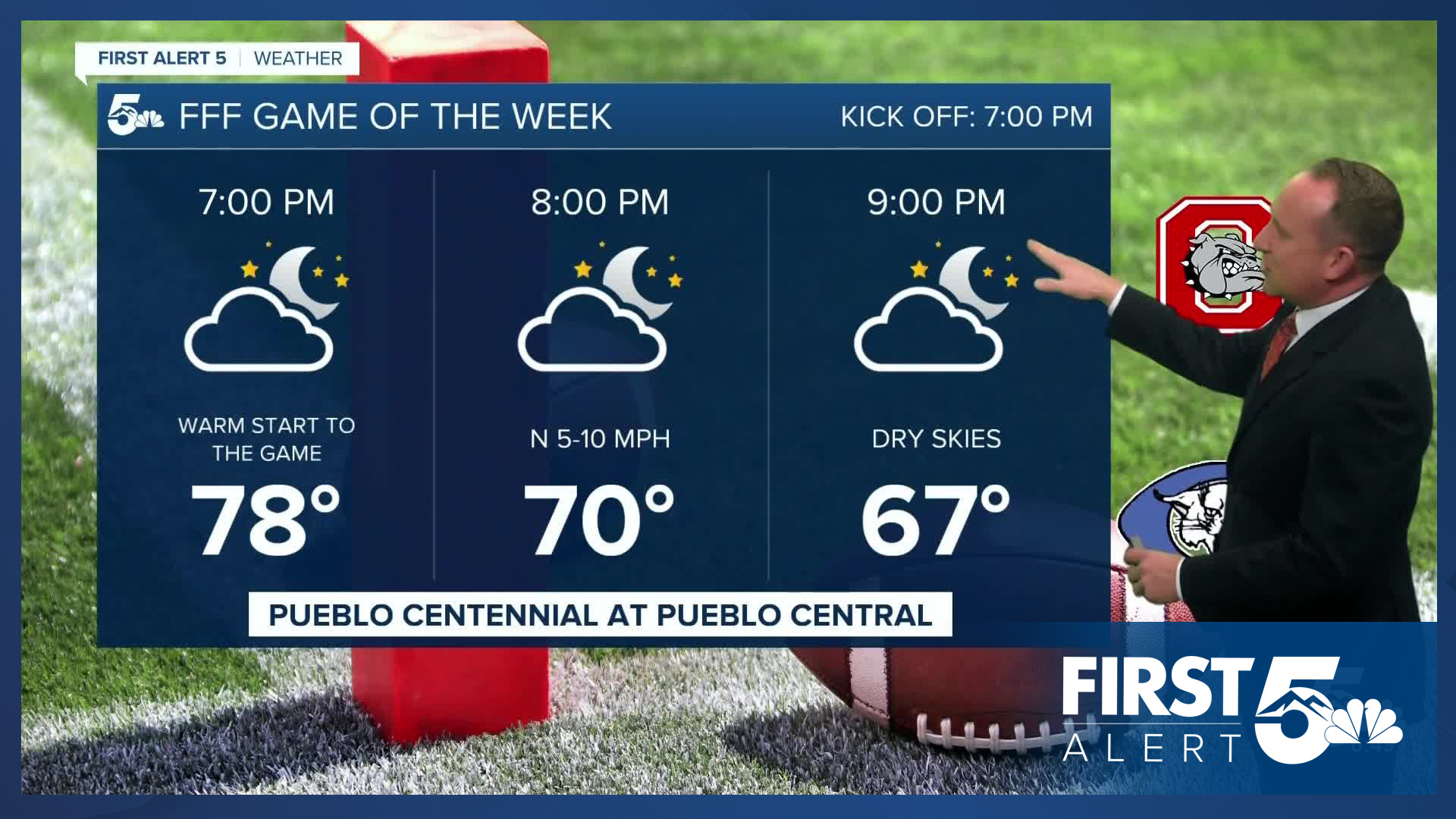
Clouds will be on the increase today in response to an area of low pressure that will move into Arizona this evening. Showers will reach southwestern Colorado today, with rain not expected locally for the next 24 hours.
Colorado Springs forecast: High: 80; Low: 50. Today's forecast will be a warm one for Colorado Springs, with our high today well above the average for this time of the year of 73 degrees.
Pueblo forecast: High: 86; Low: 51. Although clouds will be on the rise this afternoon, and so will our temperatures. Today's high in the middle to upper 80s will be well above the average high of 79 degrees.
Canon City forecast: High: 83; Low: 54. Late September will be feeling more like early September, with highs today warming well into the 80s.
Woodland Park forecast: High: 72; Low: 40. Our work week will end with a warm mix of sun and clouds across Teller County, with rain not expected during the next 12-24 hours.
Tri-Lakes forecast: High: 70s; Low: 40s. After a bright and beautiful day on Thursday, today will be warmer, but with more clouds than what we saw yesterday. Highs in northern El Paso County will warm into the middle to upper 70s.
Plains forecast: High: 80s/90s; Low: 40s/50s. Dare I say hot?! Friday's forecast on the Plains will feature mostly sunny to partly cloudy skies, and highs in the middle 80s to very low 90s.
Walsenburg and Trinidad forecast: High: 70s/80s; Low: 40s/50s. After a stormy mid-week period, our weather will be nice and dry as we close out the work week with well above average warmth for this time of the year.
Mountains forecast: High: 60s; Low: 30s/40s. Outside of the San Juan Mountains, Friday's forecast should be a gem across most of our nearby mountain ranges. With dry skies and mild highs this afternoon, leaf peeping weather will be nearly perfect.
Extended outlook forecast:
A cold front early Saturday morning will shave off around 5 degrees to our highs region-wide, with middle 70s for Colorado Springs and lower 80s in Pueblo. Rain showers on Saturday should stay well west of I-25. Sunday's highs will continue to cool into the lower 70s in the Springs. Sunday will be our best chance for an afternoon shower along and west of I-25, though these spotty showers shouldn't be too impactful for areas outside of the mountains.
A lingering shower or two will be possible in the Pikes Peak Region on Monday. Looking ahead to the rest of the week, dry skies and above average highs will compliment a quiet week of weather nicely for Southern Colorado.
____
Curious about the First Alert 5 Weather Storm Impact Scale? Check out our cheatsheet explainer.
Watch KOAA News5 on your time, anytime with our free streaming app available for your Roku, FireTV, AppleTV and Android TV. Just search KOAA News5, download and start watching.
