



Today’s Forecast:
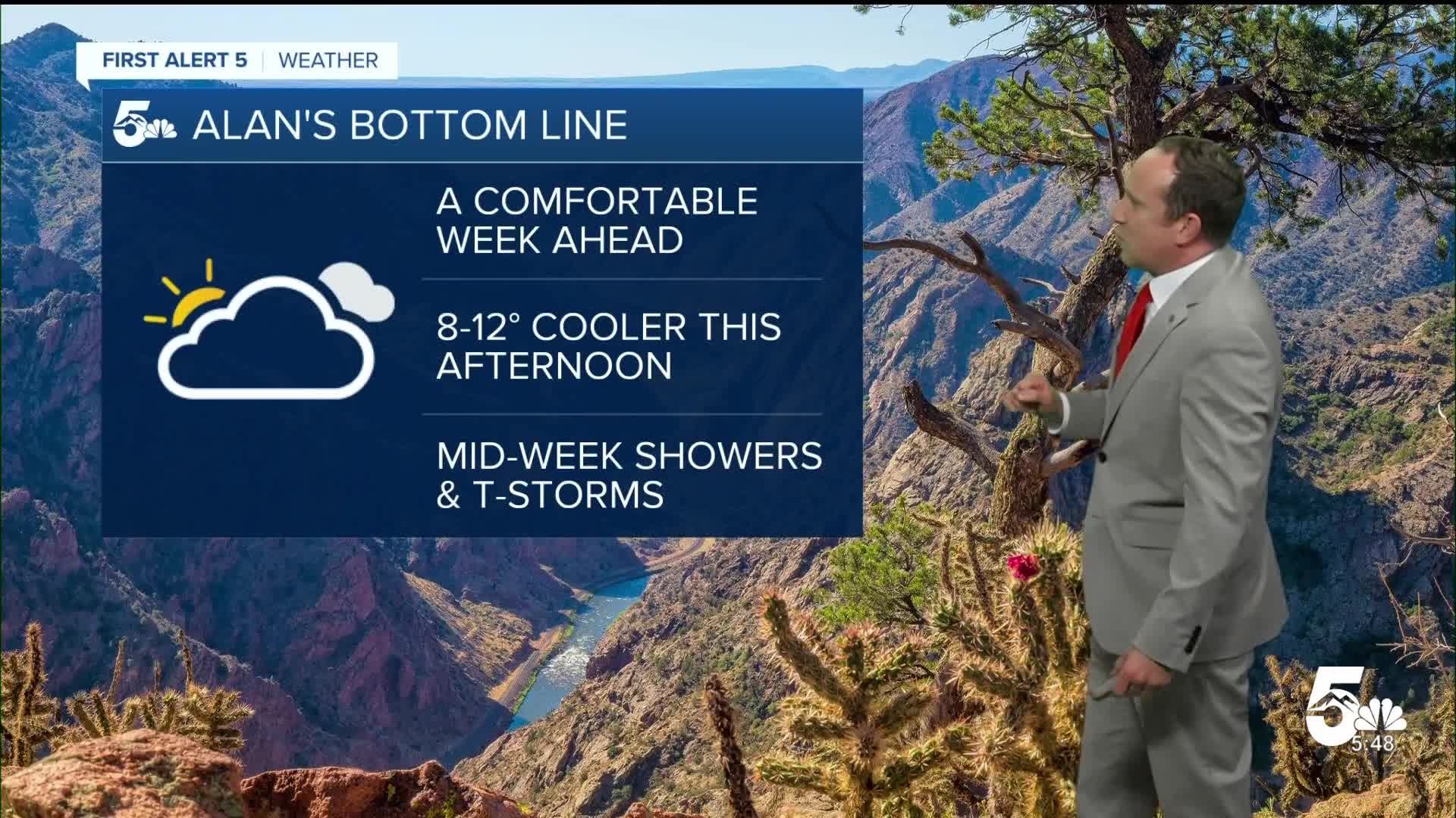
Rain is moving out of Southern Colorado this morning, with lingering clouds and a small chance for mist or drizzle for the next few hours until skies clear out further this afternoon. By the afternoon, we can expect a mild mix of sun and clouds on this final day of summer. That's right, the Autumnal Equinox is tomorrow (9/22/26) at 6:05 PM MST.
Highs today will be around 8-12 degrees cooler than yesterday, topping out in the 60s and 70s region-wide.
Colorado Springs forecast: High: 71; Low: 52. Mostly cloudy skies this morning will give way to a partly cloudy and mild afternoon. Storms are not expected Monday afternoon.
Pueblo forecast: High: 74; Low: 54. Skies will continue to clear this morning, leaving us with partly cloudy skies this afternoon. Highs today will be quite a bit cooler than yesterday as we look to top out in the middle 70s.
Canon City forecast: High: 73; Low: 56. Highs will be much cooler today versus what we saw this past weekend as we'll swap out highs in the 80s for highs in the 70s.
Woodland Park forecast: High: 66; Low: 43. Fall-like changes will move into Teller County during the first half of the work week, with highs today only warming into the mid 60s.
Tri-Lakes forecast: High: 60s/70s; Low: 40s/50s. A mild, fall-like ending to summer can be expected this afternoon as highs today top out in the 60s to very low 70s.
Plains forecast: High: 70s; Low: 50s. From severe weather and flooding to some very heavy rainfall, skies are finally drying out this morning across the Plains. For the rest of our Monday, we should see calm weather and mild highs in the 70s.
Walsenburg and Trinidad forecast: High: 60s/70s; Low: 40s/50s. The work week will begin with nice and mild weather. Highs today will warm into the upper 60s and lower 70s, with mainly dry skies on the southern I-25 corridor.
Mountains forecast: High: 50s/60s; Low: 30s/40s. Our work week will begin relatively quiet, with partly cloudy skies and cool, fall-like temperatures. Today's weather is recommended for leaf peeping and hiking or mountain biking.
Extended outlook forecast:
Moisture and storm potential will grow on Tuesday as an area of low pressure moves from California to Nevada. Storm development Tuesday afternoon will favor the mountains and areas south of Highway 50. In the Pikes Peak Region, we will see at least some potential for spotty thunderstorms on Tuesday, with highs in the middle 70s.
Rain chances look highest this week Wednesday and Thursday before drier air punches into Southern Colorado this weekend. Highs in Colorado Springs will continue to warm into the 70s for the rest of the week before topping 80 degrees on Saturday.
____
Curious about the First Alert 5 Weather Storm Impact Scale? Check out our cheatsheet explainer.
Watch KOAA News5 on your time, anytime with our free streaming app available for your Roku, FireTV, AppleTV and Android TV. Just search KOAA News5, download and start watching.
