

Today’s Forecast:
Cooler temperatures expected today compared to Friday. In general, 70s are in store. The mountains will be dry. The front range and plains will see a chance of evening thunderstorms, some of which may be strong to severe.
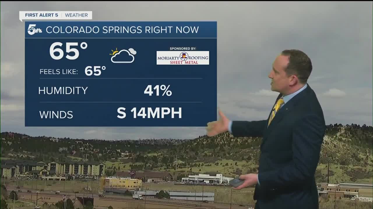
COLORADO SPRINGS: High: 70; Low: 25. Mild day with breezy winds. Thunderstorms possible after 3 pm. Hail and strong winds are possible.
PUEBLO: High: 77; Low: 30. Likely to stay dry, with just a low chance of thunderstorms. Comfortable day overall.
CANON CITY: High: 77; Low: 30. Warm today and mostly dry, with an isolated shower chance in the afternoon.
WOODLAND PARK: High: 68; Low: 20. Mild day, with a chance of thunderstorms after 1 pm.
TRI-LAKES: High: 60s; Low: 20s. Mid to upper 60s today, with thunderstorms likely after 2 pm.
PLAINS: High: 70s/80s; Low: 20s. Storms will be most likely north of HWY 50, and will be more likely in the early evening through the night.
WALSENBURG/TRINIDAD: High: 70s; Low: 20s. Dry and breezy today with high fire danger just to the west into the mountains. Upper 70s for highs.
Extended Outlook:
On Sunday, temperatures will be similar. High fire danger will be found in southern Colorado, with thunderstorm chances shifting a bit further north. The Pikes Peak region may see another round of thunderstorms Sunday afternoon.
