


BOULDER, Colo. — Most weather apps can tell you the wind speed for your town. But what if the forecast could tell you exactly what the wind is doing in your neighborhood, or even on your street?
Scientists at the National Center for Atmospheric Research (NCAR) are developing a next-generation weather prediction system that aims to do exactly that. Using fleets of weather-sensing drones, supercomputers, and a powerful modeling tool called FastEddy, researchers are working on modeling winds at an accuracy of about two meters — roughly the size of a queen bed.
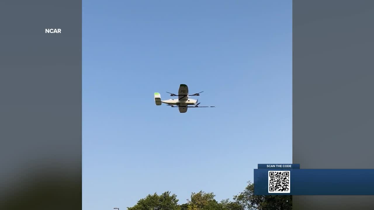
Dr. James Pinto, a senior scientist at NCAR, said the project grew out of years of collaboration with the University of Kentucky, which built a weather-sensing drone system.

“They built a weather-sensing drone system, and we were thinking that we could use that information in our modeling work,” Pinto said. “The need is very widespread, so it’s wildland firefighting, air quality prediction, and emerging modes of aerial transportation, like deliveries.”
Currently, most wind models can track large-scale patterns and are useful for regional forecasts. But they struggle to show what’s happening at the micro level — especially near the ground, where terrain, buildings, and trees can drastically alter conditions.
“The current models can only really resolve things at the county-wide scale,” Pinto explained. “We get it down to the neighborhood scale, or even the street level, where we can say what’s happening between these two buildings.” Wildfire danger is top of mind
One of the most promising uses is wildfire prediction and response. Wind can drive flames in unpredictable ways, sometimes shifting direction over just a few hundred feet.
► Watch Colin Riley's report in the player below:
“You really need to have this fine-scale information to help support wildland firefighters in the field to combat these fires,” Pinto said. “And even before they happen — understanding where these fires are more likely to break out.” The system could also give power companies targeted information to avoid risky, wide-area shutdowns during wind events.
“You can shut down the power lines in that area specifically, not the entire county,” Pinto said. “That could save a lot of money and headaches.”
Specialized drones will collect wind, temperature, and humidity readings just a few feet above the ground. That data is fed into NCAR’s model and processed using the Derecho supercomputer in Wyoming. The high-powered system can simulate how winds move around buildings, tree canopies, and other obstacles — showing the exact flow patterns firefighters or utility workers need to know.
“The hyperlocal prediction system we have can resolve buildings, it can resolve tree canopies, and how they interact with the low-level flow,” Pinto said. “That’s what gives you what’s happening in the winds at the surface.” The project is expected to run for five years, with a demonstration of the full capability planned by the end of year four. Researchers hope the technology can be applied to everything from firefighting to urban drone delivery and even planning for future air taxi services.
“We’re really trying to do cutting-edge work both on the observational side and the modeling side,” Pinto said, “to provide the best possible low-altitude wind forecast that we can provide.”
If successful, the system could be deployed nearly anywhere drones can fly, producing forecasts in minutes that are tailored to cities, neighborhoods, or even individual streets.
