

COLORADO SPRINGS, Colo. (KOAA) — Colorado Springs is rolling out new traffic safety projects at 34 locations across the city this month, with the first installation planned for June 11.
Crews are expected to finish the projects by the end of August.
The projects are part of the city's Safe Streets COS program and are funded through a federal Safe Streets and Roads for All grant of $1.05 million. The city was awarded the grant in 2024, along with an additional $262,000 in matching city funds.
The city is installing five types of temporary safety improvements, which are listed below:
- neighborhood traffic circles
- speed tables
- speed feedback signs
- flashing school zone signs
- protected bike lanes
City Traffic Engineer Todd Frisbee said many of the locations were chosen because they are near parks and schools, where pedestrians and drivers frequently share the road.
"The main goal is to slow speeds because what we find is that speed is a significant factor in the severity of crashes. So if we can reduce speeds, we can improve safety."
Officials chose the 34 locations based on crash data, speed data and more than 300 complaints from residents each year requesting speed mitigation in their neighborhoods.
The locations were identified using the city's Transportation Safety Action Plan to pinpoint areas with elevated crash risks, high travel speeds and citizen safety concerns.
The temporary approach allows the city to collect before-and-after speed data and evaluate whether each measure is effective before committing to permanent installation.
"We want to look at speeds. That's our goal is to reduce, is to lower speeds in these residential areas. So we have collected data beforehand. We'll collect that same data at the same location after these have been in for a few months."
The temporary setups will remain in place for several months. After engineers analyze the data, the city will decide whether to make the measures permanent, remove them, or adjust them.
Frisbee said if the projects prove effective, the city could apply for additional state and federal grants to fund permanent installations.
Residents will also have the opportunity to provide feedback on the projects. Comments can be submitted through the city's Public Works front desk or through the City of Colorado Springs website.
City crews will handle most of the installations, which are expected to take approximately one day per location to complete.
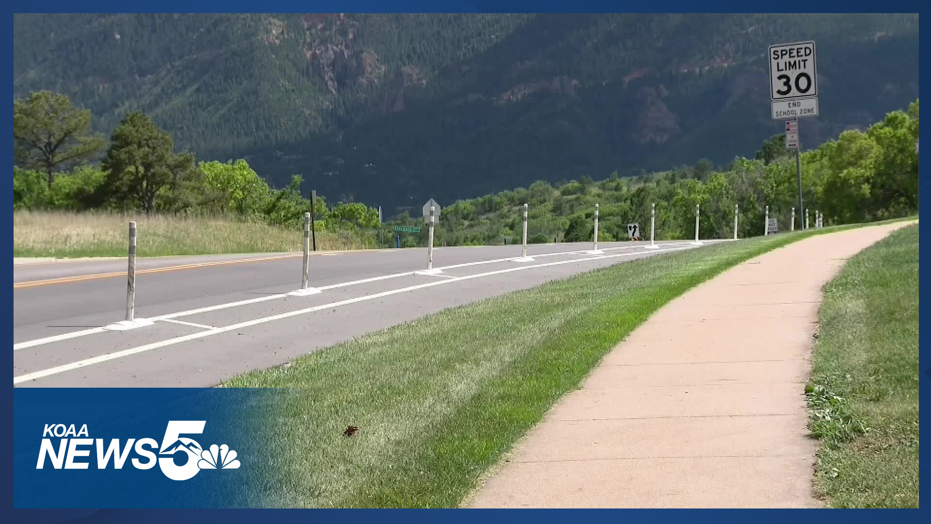
Drivers are asked to pay attention to new signage at each location, including signs warning of speed humps ahead with an advisory speed posted.
A break down of the 34 locations and the temporary safety improvements they will have is below:
Neighborhood traffic circles
- South El Paso Avenue and South Corona Avenue
- Valley Hi Avenue and Parkhill Drive
- Pikes Peak Avenue and 22nd Street
- Capulin Drive and Shasta Drive
- Capulin Drive and Server Drive
- Montebello Drive and Del Paz Drive
- Monica Drive West and Moonbeam Drive
Speed tables
- Quail Lake Road south of Quail Lake
- Broadmoor Valley Road near Broadmoor Valley Park
- Pikes Peak Avenue near Buena Vista Montessori School
- Farnsworth Drive near Bricker Elementary School
- Springnite Drive near Turman Elementary School
- Monica Drive near Deerfield Park and Turman Elementary School
- Havenwood Drive near Woodmen Trail East Crossing
- Fenton Road near Panorama Park parking lot
- West Woodmen Road near Marshall Sprague Park
Speed feedback signs
- Barnes Road east of Charlotte Parkway
- Cheyenne Meadows Road southwest of Witches Willow Lane
- Murray Boulevard between Pikes Peak Avenue and Bijou Street
- Constitution Avenue near Avondale Drive
- South Carefree Circle near Inspiration Drive
- South Circle Drive north of Airport Road
- Northbound Wahsatch Avenue north of Jefferson Street
- Wahsatch Avenue between Columbia Street and Caramillo Street
- North Nevada Avenue between East Jackson Street and Fontanero Street
Flashing school zone signs
- Ridgeview Elementary on Shimmering Creek Drive
- Chinook Trail Elementary/Middle School on Fraser Valley Lane and Grand Lawn Circle
- Panorama Middle School on South Chelton Road
- Audubon Elementary School on Patrician Way
- Encompass Heights Elementary School on Thunder Mountain Avenue
Protected bike lanes
- Pikes Peak Avenue from Corona Street to Nevada Avenue
- Cheyenne Boulevard from Cresta Road to Sumner Street
- Hancock Expressway from East Fountain Boulevard to South Union Boulevard
- Fountain Boulevard from Hancock Expressway to South Circle Drive
___

Southern Colorado communities are being evacuated as a wildfire explodes
Neighborhoods and the Town of Beulah have been evacuated after a wildfire burning along Highway 165 has exploded in size.
____
Watch KOAA News5 on your time, anytime with our free streaming app available for your Roku, FireTV, AppleTV and Android TV. Just search KOAA News5, download and start watching.