Lackluster snow across the plains and early season warmth have southern Colorado bracing for an active wildfire season.
On Tuesday, March 2nd, a grass fire in Pueblo county quickly grew to over 100 acres and continues to burn early this morning.
https://www.koaa.com/news/covering-colorado/wildland-fire-reported-in-south-east-pueblo-county
Not only did Colorado start Winter with extensive drought, we haven't had much snow locally over the past few months.

If you remember, Colorado Springs didn't actually get any measurable snow in December until the night of New Year's Eve!
We stayed a little closer to normal snowfall in January, but February finally gave us above normal accumulation.

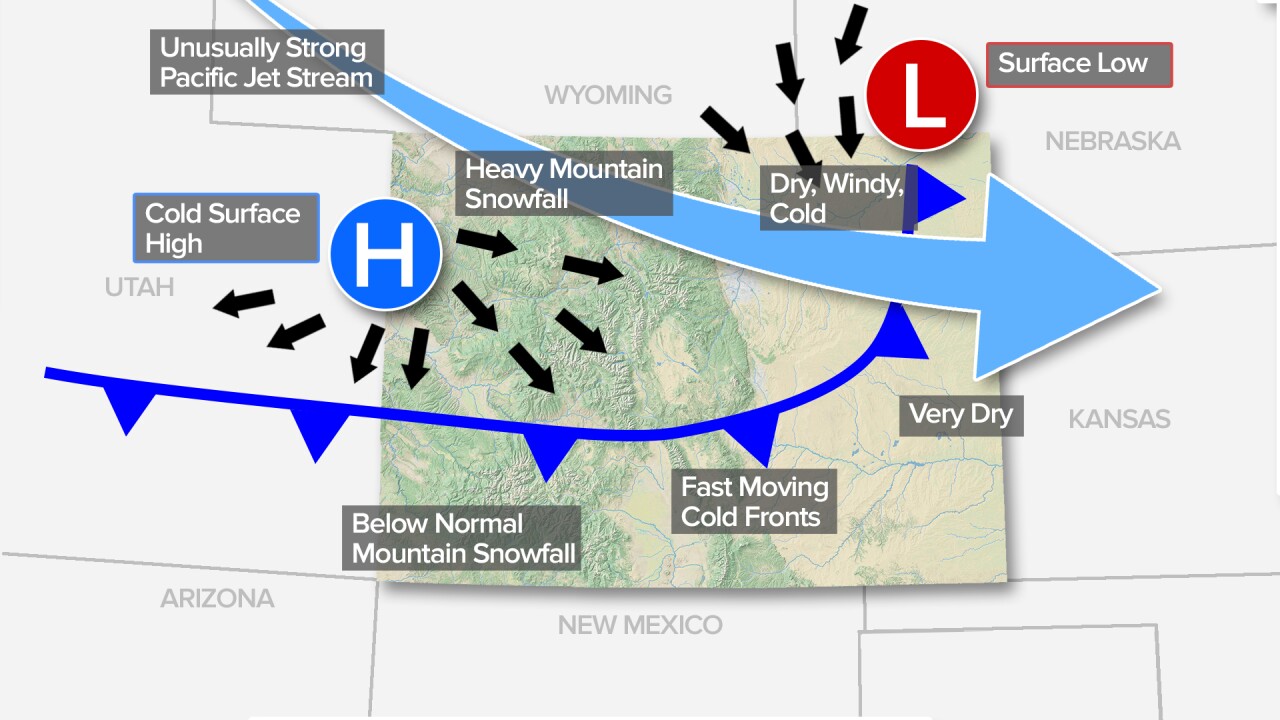
La Nina is likely to blame for the past few months of lackluster snow.
In Colorado, a moderate to strong La Nina can lead to unusually dry and windy conditions along and east of the Front Range.
Looking back at the last few months, that seems to be the prevailing weather pattern locally along and east of I-25.

The snowpack levels in Colorado are just a shade under what we consider normal for this time of year.
When you look at this map, you want to see each basin at 100% or greater. 100 percent is considered a normal snowpack, and anything over 100 is above normal.

While our current near-normal snowpack is good... we're going to need a lot more if we want a safe wildfire season.
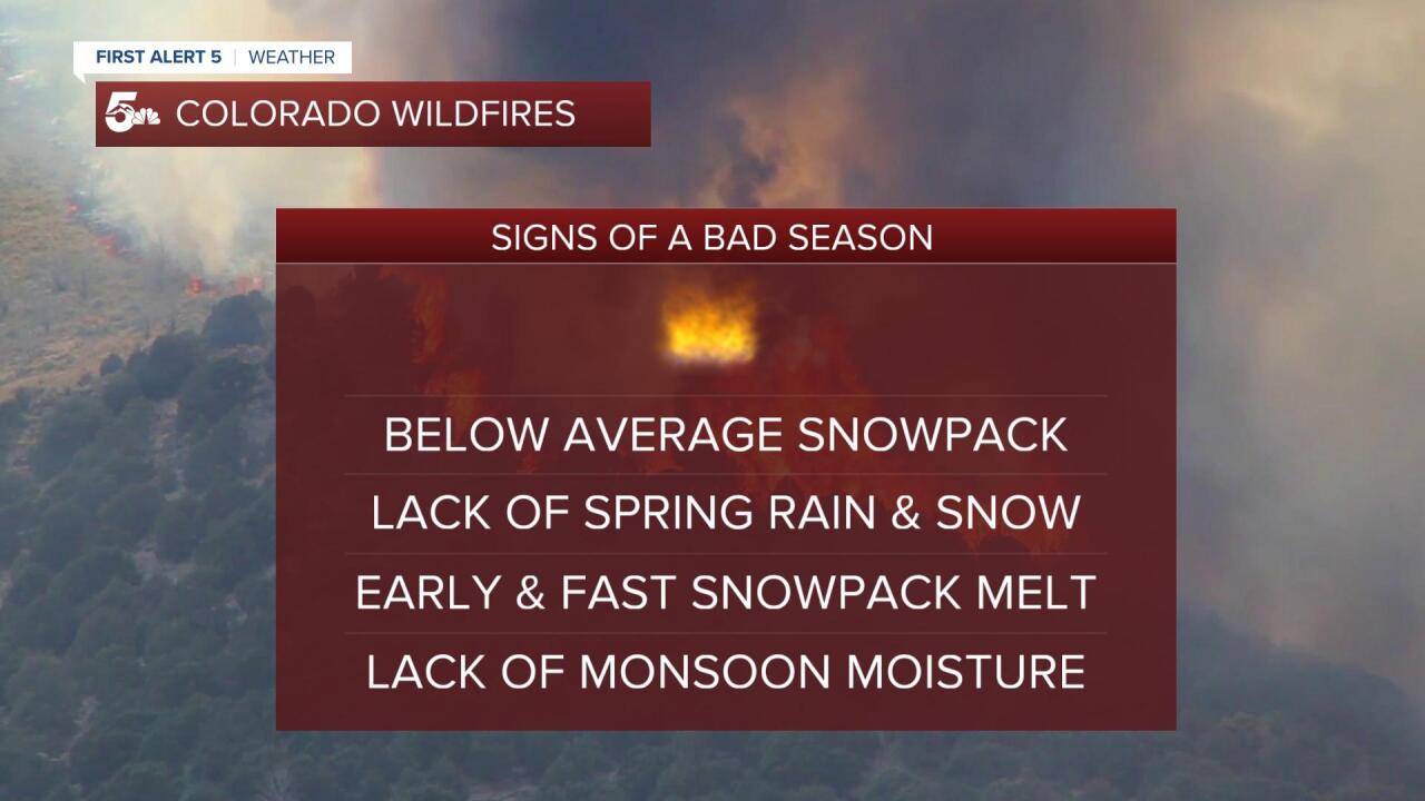
The usual signs of a bad wildfire season include below-average Spring snowpack, early or fast melting snow by May, and limited monsoonal moisture through July and August.
March and April tend to be the two snowiest months in Colorado, so there's still hope we can at least mitigate some wildfire concerns over the next few months.


