
Tonight’s Forecast:
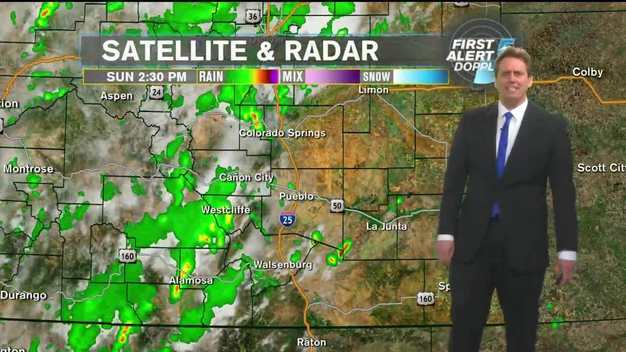
** WEATHER ALERT FOR SUNDAY EVENING** There is a river of monsoon moisture pouring into Colorado. Coupled with an upper level disturbance, the atmosphere is ripe for strong thunderstorms to develop for Sunday afternoon and lasting well into the evening hours. The plume of moisture has been poised over the central mountains. But, as the area of high pressure continues to move into the deep south of the US, the monsoonal flow on the backside continues to push across the state of Colorado. This evening, that line of strong storms and showers will gradually traverse Colorado, bring heavy downpours and a lot of cloud to ground lightning. Some of these storms may briefly turn severe, so keep an eye to the sky and an ear to Channel 5 for the latest. The storms should come to an end by 10pm tonight, but some leftover light showers and moderate rains may linger behind. Eventually, skies will clear out and temperatures will fall once again into the upper 50s and lower 60s.
Tired of thunderstorms in the forecast? Looks like we’ll take a break for Monday with mostly sunny skies and warm afternoon highs in the mid 80s for the Springs and lower 90s for Pueblo!
COLORADO SPRINGS: Low: 59, High: 86. Strong thunderstorms and showers will move through the area well into the latter half of the evening tonight, with some showers lingering past midnight. Lows near 60. Sunny on Monday morning with a few passing clouds in the afternoon and highs in the mid-80s.
PUEBLO: Low: 60, High: 93. Strong thunderstorms and showers will move through the area well into the latter half of the evening tonight, with some showers lingering past midnight. Lows near 60. Sunny on Monday morning with a few passing clouds in the afternoon and highs in the lower 90s.
CANON CITY: Low: 63, High: 90. Strong thunderstorms and showers will move through the area well into the latter half of the evening tonight, with some showers lingering past midnight. Temperatures in the lower 60s. Sunny on Monday morning with a few passing clouds in the afternoon and highs near 90.
WOODLAND PARK: Low: 53, High: 77. Strong thunderstorms and showers will move through the area well into the latter half of the evening tonight, with some showers lingering past midnight with temperatures in the lower 50s. Sunny on Monday morning with a chance for a brief afternoon shower or thunderstorm and highs in the upper 70s.
TRI-LAKES: Low: 50s, High: 70s/80s. Strong thunderstorms and showers will move through the area well into the latter half of the evening tonight, with some showers lingering past midnight. Lows in the 50s. Sunny on Monday morning with a few passing clouds in the afternoon and highs in the upper 70s to lower 80s.
PLAINS: Low: 60s, High: 90s. Isolated showers and thunderstorms into the late evening, with some showers lingering past midnight. Lows in the 60s. Partly cloudy to start Sunday with isolated thunderstorms developing by late afternoon. Some will be strong with heavy downpours, frequent lightning, and small hail. Storms will last into the evening. Highs in the 90s.
WALSENBURG/TRINIDAD: Low: 50s/60s, High: 80s. Scattered showers and thunderstorms into the late evening, with some showers lingering past midnight. Lows in the 60s. Mostly cloudy to start Sunday with thunderstorms developing by early afternoon and becoming widespread. Some will be strong with heavy downpours, frequent lightning, and small hail. Storms will last into the evening. Highs in the 80s.
Extended Outlook:
Tuesday and Wednesday look, for the most part, dry along I-25. The Eastern Plains look to pick up some strong storms on Tuesday. Some moisture and a few small waves of energy will eek back into the State for the middle of the week, but we’re forecasting mostly dry conditions. The monsoonal flow will turn off for the remainder of the week, so any showers or thunderstorms that do form in the mountains will be due to the daily convective activity that we’re so used to during the summers here in Colorado. Temperatures will be fairly uniform this week, if not for a slow and steady climb towards the latter half.
