
Tonight’s Forecast:
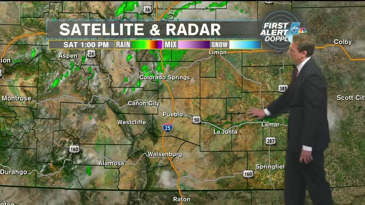
** WEATHER ALERT FOR SATURDAY AND SUNDAY** The monsoonal flow has a direct pipeline into Colorado. There is abundant moisture both at the surface and in the atmosphere. The other ingredient we need is energy and there are a few waves of it moving towards us. This evening, thunderstorms and showers will be scattered around Southern Colorado. Some of them will produce heavy downpours and dangerous lightning. The storms will last into the late evening hours with a few scattered showers lingering past midnight. By the early morning hours of Sunday, showers will come to an end. Lows will drop into the upper 50s and lower 60s.
Sunday morning will be mostly cloudy as moisture continues to stream into the state. A larger and more powerful wave of energy will make its way into Colorado and produce another round of widespread thunderstorms. Some of these will be a bit stronger, especially along the Palmer Divide, Pikes Peak Region, and the Northeastern Plains. Afternoon temperatures will be warm along I-25, but much hotter in extreme Southeast Colorado where cloud cover will not be as abundant.
COLORADO SPRINGS: Low: 60, High: 83. Scattered showers and thunderstorms into the late evening, with some showers lingering past midnight. Lows near 60. Mostly cloudy to start Sunday with thunderstorms developing by early afternoon and becoming widespread. Some will be strong with heavy downpours, frequent lightning, and small hail. Storms will last into the evening. Highs in the lower 80s.
PUEBLO: Low: 65, High: 90. Scattered showers and thunderstorms into the late evening, with some showers lingering past midnight. Lows near 65. Partly cloudy on Sunday morning with thunderstorms developing by early afternoon and becoming widespread. Some will be strong with heavy downpours, frequent lightning, and small hail. Storms will last into the evening. Highs near 90.
CANON CITY: Low: 66, High: 86. Scattered showers and thunderstorms into the late evening tonight. Lows in the mid-60s. Mostly cloudy on Sunday morning with widespread thunderstorms developing by early afternoon. Some will be strong with heavy downpours, frequent lightning, and small hail. Storms will last into the evening. Highs in the mid-80s.
WOODLAND PARK: Low: 54, High: 75. Scattered showers and thunderstorms into the late evening. Lows in the mid 50s. Mostly cloudy on Sunday morning with thunderstorms developing by early afternoon and becoming widespread. Some will be strong with heavy downpours, frequent lightning, and small hail. Storms will last into the evening. Highs in the mid-70s.
TRI-LAKES: Low: 50s, High: 70s. Scattered showers and thunderstorms into the late evening, with some showers lingering past midnight. Lows in the 50s. Mostly cloudy to start Sunday with thunderstorms developing by early afternoon and becoming widespread. Some will be strong with heavy downpours, frequent lightning, and small hail. Storms will last into the evening. Highs in the 70s.
PLAINS: Low: 60s, High: 90s. Isolated showers and thunderstorms into the late evening, with some showers lingering past midnight. Lows in the 60s. Partly cloudy to start Sunday with isolated thunderstorms developing by late afternoon. Some will be strong with heavy downpours, frequent lightning, and small hail. Storms will last into the evening. Highs in the 90s.
WALSENBURG/TRINIDAD: Low: 60s, High: 80s. Scattered showers and thunderstorms into the late evening, with some showers lingering past midnight. Lows in the 60s. Mostly cloudy to start Sunday with thunderstorms developing by early afternoon and becoming widespread. Some will be strong with heavy downpours, frequent lightning, and small hail. Storms will last into the evening. Highs in the 80s.
Extended Outlook:
By Monday, the energy and majority of the monsoonal flow will leave Colorado. There will still be a little leftover for afternoon showers and storms along the higher terrain, including the Palmer Divide and the mountains. Colorado will really start to clean house on Tuesday and Wednesday as things become drier and slowly warmer. Showers and storms will linger in the mountains for Tuesday and Wednesday, but by Thursday, the state looks to be dry into next weekend.
