


Today’s Forecast:
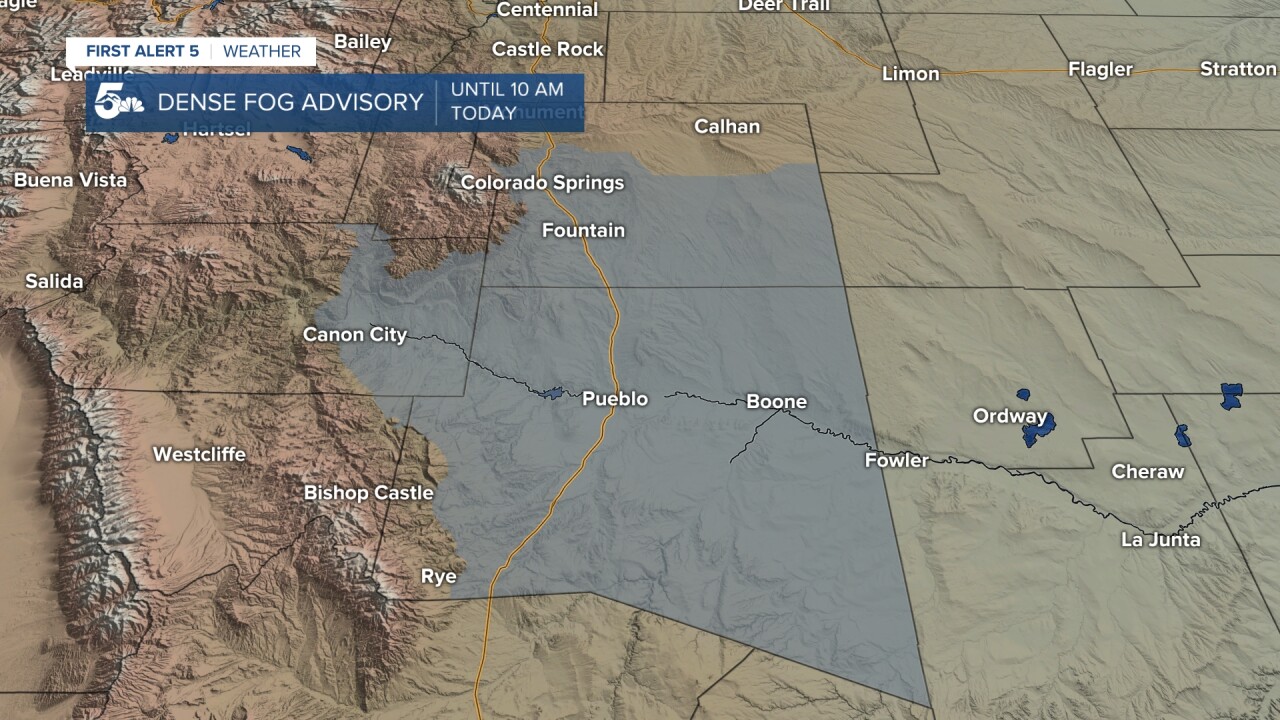
Patchy dense fog and low clouds will stick around through the mid-morning in parts of El Paso, Fremont, and Pueblo counties, but we should punch through the clouds and bring the sun back in the afternoon.
Temperatures will warm up into the 40s across the plains with light winds and overnight lows in the 20s.
COLORADO SPRINGS: High: 44; Low: 21. Patchy clouds and fog in the morning with sunshine, a light breeze, and mild afternoon conditions.
PUEBLO: High: 42; Low: 17. Patchy fog and clouds in the morning with sunshine and light winds in the afternoon.
CANON CITY: High: 48; Low: 22. Patchy fog east of the city with sunshine and a light breeze in the afternoon.
WOODLAND PARK: High: 39; Low: 17. Sunny skies and chilly today with light daytime winds.
TRI-LAKES: High: 40s; Low: 10s. Mostly sunny but very cold in the morning, followed by warmer daytime conditions.
PLAINS: High: 30s; Low: 10s. Low clouds and patchy early morning fog with cold daytime temperatures and light winds.
WALSENBURG/TRINIDAD: High: 40s; Low: 10s. Breezy and sunny today with warm afternoon conditions.
MOUNTAINS: High: 40s; Low: 20s. Sunny and breezy but dry in the Wets and Sangres today. We'll be chilly in the afternoon.
Extended Outlook:
Snow is likely to return to the region Saturday night through early Sunday morning. Strong north winds are likely to keep that snow up north along the Monument to Black Forest area and practically nothing from downtown to Pueblo.
Strong north winds probably kill snow for a lot of our viewing area Saturday night, but we could see a few inches on the north side of the county. 2-4" in my forcast for Monument and Black Forest, barely anything in Pueblo and less than an inch for Trinidad pic.twitter.com/iTtYd3B36e
— Sam Schreier (@SamASchreier) February 19, 2021
We'll warm up to the 50s and even a few 60s by next Tuesday, and we could get heavy snow Wednesday through Thursday.
KOAA News5 on your time, streaming on your Roku, FireTV, AppleTV and AndroidTV.
News5 App | First Alert 5 Weather App | Youtube | Facebook | Instagram | Twitter
