
Today’s Forecast:
Cloudy skies across the mountains and adjacent towns through the morning with plenty of sunshine in the afternoon, especially for those farther east of the mountains. Down sloping winds out of the west and southwest will keep it hot and dry across southern Colorado, with fire danger staying elevated through the end of the day. Overnight, we'll see temperatures dip well into 50s with light winds and clear skies.
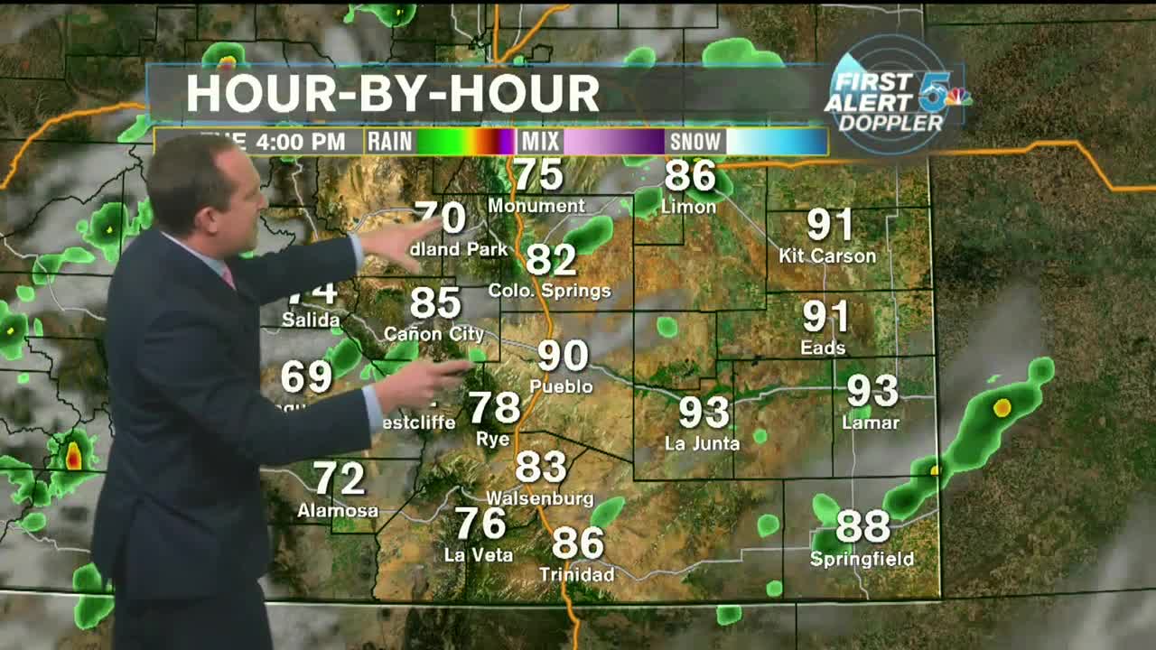
COLORADO SPRINGS: High - 87; Low - 53. Warm and windy today with dry skies expected through the morning and afternoon.
PUEBLO: High - 92; Low - 55. Hot and mostly sunny with dry skies and stronger afternoon winds.
CANON CITY: High - 89; Low - 57. Hot and breezy today with dry skies and stronger winds returning through the afternoon.
WOODLAND PARK: High - 76; Low - 44. Warm with a mix of sunshine and clouds during the day and a stronger breeze in the afternoon.
TRI-LAKES: High - 70s; Low - 40s. Mild and windy today with dry skies and a stronger breeze expected in the afternoon.
PLAINS: High - 90s; Low - 50s. Hot, sunny, and dry across the plains today, despite a few models trying to develop showers in the late afternoon. It'll be windy with high fire danger.
WALSENBURG/TRINIDAD: High - 80s; Low - 50s. Warm and windy today with dry skies expected through the morning and afternoon.
Extended Outlook:
A cold front overnight will bring gusty wind into the forecast area through Wednesday, and drop temperatures by about 5 to 6 degrees. We'll stay dry through most of this week, but mountain towns could see an isolated shower on both Wednesday and Thursday. Thursday afternoon will be hot and breezy with a strong cold front pushing highs back into the lower 80s and even the 70s in the Pikes Peak Region from Friday through Saturday.
