

Tonight's Forecast:
Temperatures will get chilly overnight, especially for the higher terrain. A freeze warning has been issued for the San Luis Valley. Woodland Park will likely get down to freezing tonight, but there are no watches or warnings in place. Bring any sensitive plants inside for the night.
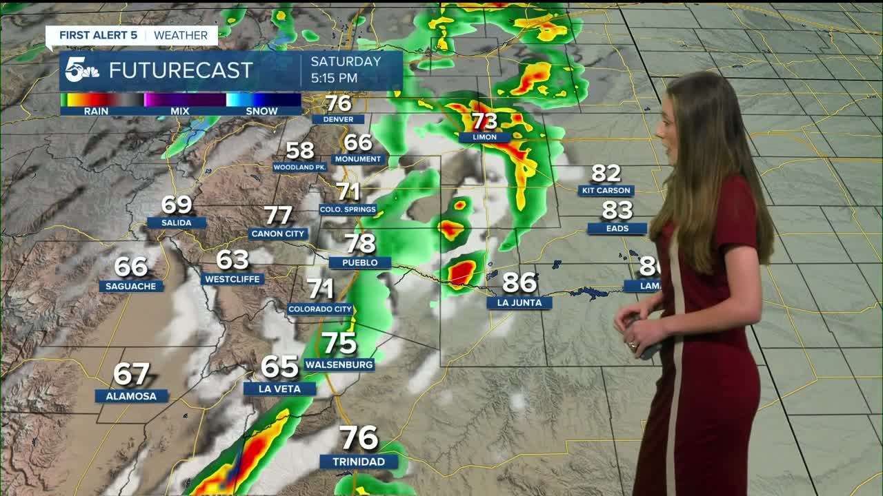
Colorado Springs forecast: Low: 41; High: 70;
The Springs will be about 8 degrees cooler than Saturday. This is because of a cold front that pushed through overnight. Luckily, winds are expected to be much cooler. Mostly clear conditions will last throughout the day.
Pueblo forecast: Low: 43; High: 76;
Pueblo will have morning lows in the lower 40s. Temperatures will still be comfortable in the afternoon. Plenty of sunshine throughout the day will make for a nice day to get outside.
Canon City forecast: Low: 45; High: 73;
Canon City will have mostly clear conditions in the morning with lows in the mid-40s. Temperatures in the afternoon will rise into the lower 70s. Winds will be between 5-15mph.
Woodland Park forecast: Low: 32; High: 61;
Woodland Park will likely drop down to freezing overnight, so if you have any sensitive plants outside, it would be a good idea to bring them inside. Temperatures in the afternoon will still be warm in the lower 60s.
Tri-Lakes forecast: Low: 39; High: 66;
Monument will also have a chilly morning in the 30s. There is not a threat of any freezes. Mostly clear conditions will help temperatures to warm into the mid-60s by the afternoon.
Plains forecast: Low: 40s & 50s; High: 70s & 80s;
The eastern plains will have another warm day ahead of them with highs in the 70s and 80s. Some breezy conditions will linger, but won't be as windy as Saturday.
Walsenburg and Trinidad forecast: Low: 43; High: 73/77;
The southern I-25 corridor will have morning lows in the lower 40s. By the afternoon, these temperatures will be kind of all over the place. Closer to Walsenburg, highs will be in the lower 70s. Further south towards Trinidad, highs will be in the upper 70s.
Mountains forecast: Low: 30s; High: 60s;
The mountains will be nice with highs in the 60s. There will be mostly clear conditions. Conditions are also expected to stay dry with most of the moisture leaving the area.
Extended outlook forecast:
Looking ahead to the start of the work week, temperatures will continue to cool. Monday will be the coolest day of the week in the 50s for the higher terrain and 60s for the I-25 corridor. Conditions are expected to stay dry though.
Rain chances will pick up on Tuesday with more moisture moving into the area. There is still a small chance for showers going into Wednesday, but some areas will be dry. An upper-ridge will begin to build and we will see a climb in our highs throughout the rest of the week.
____
Curious about the First Alert 5 Weather Storm Impact Scale? Check out our cheatsheet explainer.
Watch KOAA News5 on your time, anytime with our free streaming app available for your Roku, FireTV, AppleTV and Android TV. Just search KOAA News5, download and start watching.
