

Tonight's Forecast:
Tonight, there will be mostly clear conditions for southern Colorado. With more clouds, this will help temperatures from getting too cold overnight. Morning lows for I-25 will be in the 40s and 50s.
Colorado Springs forecast: Low: 50; High: 76;
Colorado Springs will have a nice start to the morning with a few clouds. Temperatures will be very similar to Saturday. Afternoon highs will be in the mid-70s. There will be some spotty showers in the area, but most of the Springs will likely stay dry. However, it would still be a good idea to keep an umbrella on hand because showers will still be scattered across southern Colorado.
Pueblo forecast: Low: 52; High: 82;
Pueblo will have morning temperatures in the lower 50s. As the sun rises temperatures will be in the upper 60s by 10AM. With the increase in moisture, it wouldn't be surprising to see a couple of showers move through Pueblo county. Most of Pueblo is likely going to stay dry though. Highs will be in the lower 80s.
Canon City forecast: Low: 52; High: 78;
Canon City will start the day off with mostly clear skies. More clouds will move into the area along with some spotty showers. This will arrive around 3PM. Showers look to clear out a few hours later. Highs will be in the upper 70s.
Woodland Park forecast: Low: 43; High: 67;
Woodland Park will be in the lower 40s for the morning temperatures. By the afternoon these temperatures will be in the upper 60s. Rain will move in during the early afternoon. These showers will move out around 8/9PM. This moisture will stay behind and more shower chances arrive again on Monday.
Tri-Lakes forecast: Low: 47; High: 72;
The Monument area will have lows in the upper 40s. By the late morning temperatures will be in the 50s and 60s. Later on in the afternoon these temperatures will be in the lower 70s. Rain will also move in during the afternoon, and will last through the evening.
Plains forecast: Low: 50s; High: 80s;
The Plains won't have as much moisture as everyone else which means that rain chances will be much lower. A couple of showers closer to I-25 will work their way east though. Highs will be in the 80s across the eastern counties.
Walsenburg and Trinidad forecast: Low: 50; High: 75;
The southern I-25 corridor will have rain chances start earlier in the afternoon. Coverage will pick up later in the afternoon around 4PM. Highs will be in the mid-70s.
Mountains forecast: Low: 40s; High: 60s & 70s;
The mountains will have the most amount of moisture, especially for the southern mountains. If you plan on traveling to the mountains, expect to run into a couple of showers. Highs will be in the 60s and 70s across the area.
Extended outlook forecast:
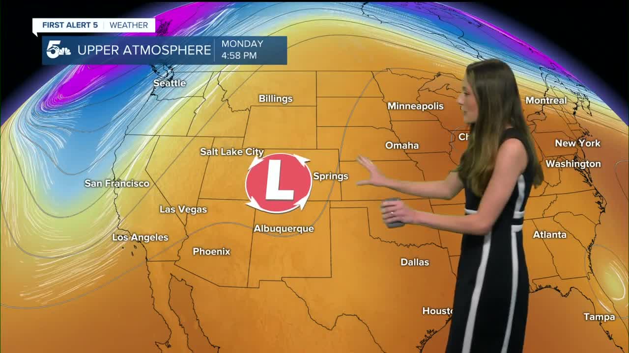
Moisture will linger into Monday and there will be a chance of spotty showers again. As the low-pressure system continues to move towards the north east, moisture won't be as high. By Tuesday, nice and fair conditions will return. Temperatures will raise a degree or two each day.
The next system that we are tracking looks to arrive Friday into Saturday. Rain chances remain on the lower side for now (around 10%), but it wouldn't be surprising to have some stronger wind gusts as the front pushes through.
____
Curious about the First Alert 5 Weather Storm Impact Scale? Check out our cheatsheet explainer.
Watch KOAA News5 on your time, anytime with our free streaming app available for your Roku, FireTV, AppleTV and Android TV. Just search KOAA News5, download and start watching.
