


Tonight's Forecast:
A severe thunderstorm watch will be in effect until 10PM this evening for the eastern counties. El Paso and Pueblo county are not included within this watch and conditions will stay mostly clear along I-25.
Tomorrow, we will be feeling the heat with 90s along I-25 and 100s further east. By 8AM temperatures will already be in the mid-60s. Temperatures will be slow to cool in the evening, even after the sun sets. Heat stroke and exhaustion will be possible in these temperatures, so take plenty of shade breaks and drink water.
Colorado Springs forecast: Low: 58; High: 95;
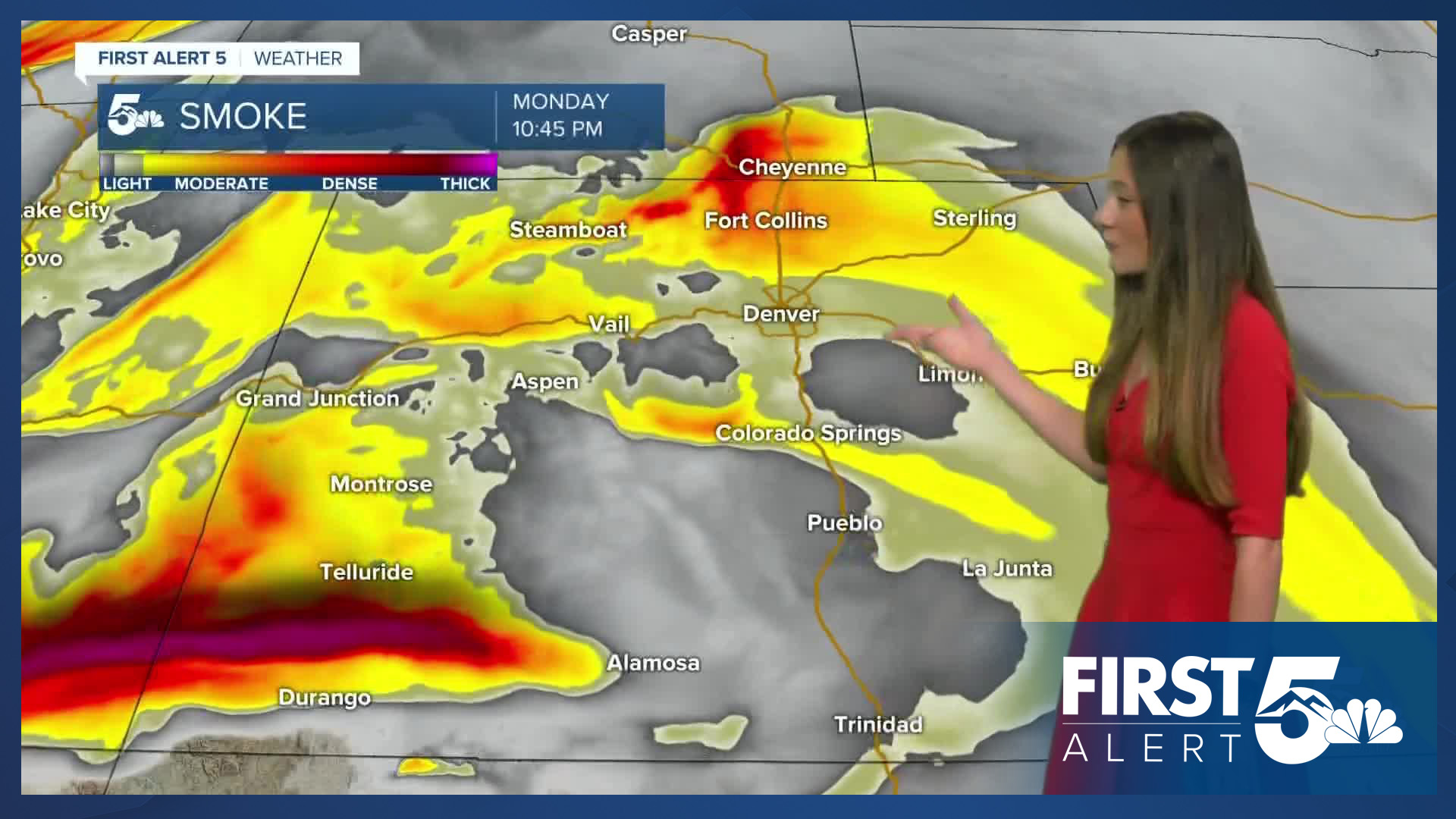
Tonight, temperatures will dip into the upper 50s. Conditions will get hazy at times due to the smoke from wildfires out west. By the afternoon on Tuesday, temperatures will reach the mid-90s. It will take a couple of hours past sunset for temperatures to finally reach the 70s.
Pueblo forecast: Low: 60; High: 101;
Pueblo will have some of the hottest temperatures in the area on Tuesday. These temperatures will be in the lower 100s by the early afternoon. There will be little cloud cover and not much protection from the sun, so limit your time outdoors.
Canon City forecast: Low: 62; High: 97;
Canon City will also be feeling the heat with highs in the upper 90s on Tuesday. These temperatures will last throughout the week and into the weekend. Overnight lows tonight will be in the lower 60s. A few passing clouds will move throughout the area, but will not offer much shade.
Woodland Park forecast: Low: 52; High: 84;
Woodland Park will have overnight temperatures in the lower 50s. By the afternoon these temperatures will rise into the mid-80s. Conditions will stay mostly clear throughout the day on Tuesday.
Tri-Lakes forecast: Low: 58; High: 91;
The Monument area will slowly drop into the upper 50s overnight tonight. By 8AM temperatures will be in the 60s. Afternoon highs will be in the lower 90s around 2PM. It will be a very warm day across the area, so make sure you are taking extra precautions to protect yourself against the heat.
Plains forecast: Low: 60s; High: 90s & 100s;
The plains will have a few isolated strong to severe thunderstorms this evening. Ping pong ball sized hail, up to 70mph winds, localized flooding, and an isolated tornado will be possible.
Going into tomorrow, temperatures will warm very quickly into the triple digits. 103 will be the high in La Junta and surrounding areas.
Walsenburg and Trinidad forecast: Low: 61/60; High: 96;
The southern I-25 corridor will have a few gusty winds this evening, but things will calm overnight. Temperatures will be in the lower 60s by the early morning. By the afternoon, these temperatures will be in the mid-90s.
Mountains forecast: Low: 50s; High: 80s;
The mountains will have the coolest temperatures over the next few days, but it will still be warm. High winds and dry conditions have led to red flag warnings out west where a few wildfires have already started. If you head into the mountains avoid any burning and avoid anything that could create sparks.
Extended outlook forecast:
The rest of this week will be a rinse and repeat forecast. Highs will continue to be in the 90s and 100s across the area. The warmest temperatures will be along the Arkansas River. This does create some concern for fire danger towards the end of the week due to the plants and grasses drying out from the heat. Make sure to drink plenty of water and take multiple A/C breaks. Heat exhaustion and heat stroke can set in during these conditions.
____
Curious about the First Alert 5 Weather Storm Impact Scale? Check out our cheatsheet explainer.
Watch KOAA News5 on your time, anytime with our free streaming app available for your Roku, FireTV, AppleTV and Android TV. Just search KOAA News5, download and start watching.
