
Tonight’s Forecast:
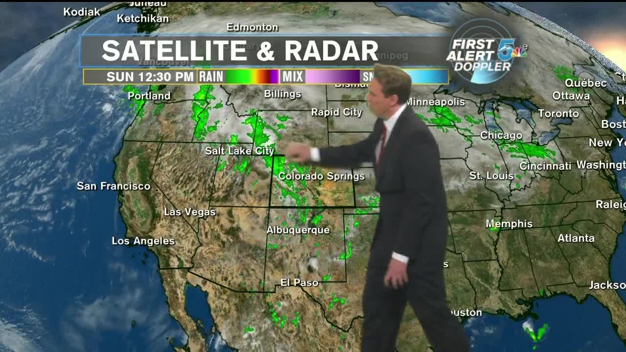
A wave of energy in the upper levels of the atmosphere is sweeping through Colorado as we speak. As it moved through earlier today, it helped ignite showers and thunderstorms in the mountains. These storms rolled off the higher terrain and onto the I-25 corridor and Eastern Plains late this afternoon and early this evening. The storms have been fast moving along this energetic line. An occasional storm has gone sever, but marginal based on gusty winds and small hail.
Tonight, the showers and storms will exit the area no later than midnight and skies will go clear with overnight lows in the lower to mid-50s. Behind this latest wave of energy is a clearing trend. Monday will kick off a rather tranquil week as sunshine will be in abundant supply and afternoon highs will remain above normal, topping off in the lower to mid-80s.
COLORADO SPRINGS: Low: 52, High: 83. Lingering rain showers until midnight, then clearing skies with lows in the lower 50s. Sunny and clear on Monday with highs in the lower to mid-80s.
PUEBLO: Low: 57, High: 89. Lingering rain showers until midnight, then clearing skies with lows in the upper 50s. Sunny and clear on Monday with highs in the upper 80s.
CANON CITY: Low: 58, High: 87. Lingering rain showers until midnight, then clearing skies with lows in the upper 50s. Sunny and clear on Monday with highs in the upper 80s.
WOODLAND PARK: Low: 46, High: 74. Lingering rain showers until midnight, then clearing skies with lows in the mid-40s. Sunny and mostly clear on Monday with highs in the lower to mid-70s.
TRI-LAKES: Low: 50s, High: 70s. Lingering rain showers until midnight, then clearing skies with lows in the 50s. Sunny and clear on Monday with highs in upper 70s.
PLAINS: Low: 50s/60s, High: 80s/90s. Scattered showers and thunderstorms through midnight, then clearing skies with temperatures in the upper 50s to lower 60s. Sunny and clear on Monday with highs in the upper 80s to lower 90s.
WALSENBURG/TRINIDAD: Low: 50s, High: 80s. Lingering rain showers until midnight, then clearing skies with lows in the 50s. Sunny and clear on Monday with highs in the 80s.
Extended Outlook:
A quiet weather pattern is shaping up for the next 7 days. With a generally southwest flow, temperatures will remain above seasonal normal, but shy of record-setting heat. We’ll see a few dips in the afternoon highs over the next week thanks to passing cold fronts, but they’ll come through dry. These cold fronts are more indicative of the fall-like pattern that’s beginning to take hold of the state. Each one will start to chip away at our warm bubble of air until, before we know it, it’s winter!
