


Tonight's Forecast:
Overnight lows are expected to be a bit warmer compared to yesterday in the mid to upper 50s for most. Around 4-5 AM, a cool front will move through. Behind that front, wind will kick up, with gusts up to 35 MPH expected. That will drop temperatures for many into the first day of the weekend. Clouds will stick around until that front moves through too.
Colorado Springs forecast: Low: 58; High: 84;
Clouds will stick around for the majority of the evening, but in the early morning hours of Saturday a front will move through and push the clouds out with gusty winds behind it. That sets up Colorado Springs to see mid-80s for afternoon highs on Saturday. Sunday warms again to soar about 10 degrees above average. A few isolated storms cannot be rules out this weekend for the Pikes Peak Region, but most will stay dry.
Pueblo forecast: Low: 60; High: 87;
A similar trend is expected for Pueblo with cooler highs tomorrow thanks to the overnight front with less cloud cover compared to today. Mostly dry skies are expected for the weekend with some mid-90s expected by Sunday.
Canon City forecast: Low: 61; High: 87;
Canon City will reach the low 90s on Sunday after that cooler Saturday is expected. Some winds will continue through the weekend, especially during the afternoon hours. Mostly sunny skies will stick around for Saturday and Sunday too.
Woodland Park forecast: Low: 48; High: 71;
Temperatures will be a dash cooler in Teller county with Saturday seeing low 70s. By Sunday, some mid-70s will move in. A few isolated storms are possible as well through the weekend.
Extended outlook forecast:
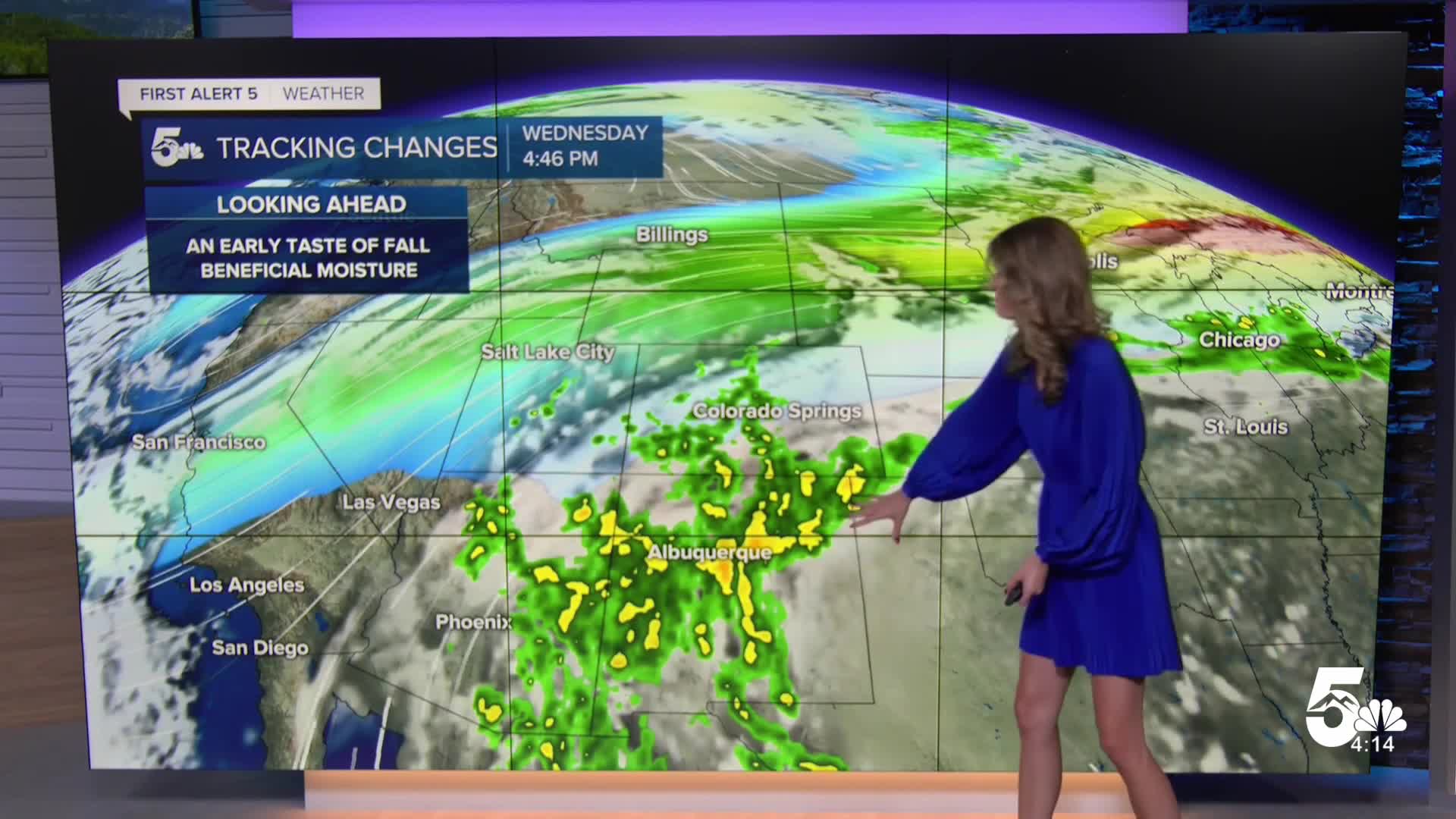
We are tracking a cooler Saturday thanks to a front and by Sunday temperatures rebound. A few isolated storms are possible across the area in the next few days, but most will stay dry. The bigger changes arrive next week with a major cool down by Tuesday with highs dropping in the 70s for most along the I-25 corridor and east of that. The middle of the week will continue to stay average or a few degrees below averages. Thunderstorm chances continue through the end of the week with those cooler temperatures too.
____
Curious about the First Alert 5 Weather Storm Impact Scale? Check out our cheatsheet explainer.
Watch KOAA News5 on your time, anytime with our free streaming app available for your Roku, FireTV, AppleTV and Android TV. Just search KOAA News5, download and start watching.
