

Today’s Forecast:
We're in for a HOT day in southern Colorado with isolated storms through the afternoon and early evening.
Storms today will favor the mountains, Pikes Peak Region, and Raton Mesa with less moisture available for storms over the Wet Mountains and out into Pueblo.

Isolated severe storms will be possible today in El Paso County IF we can keep the air a little humid. If dewpoints stay at or above 50°F through the afternoon, we'd have enough storm energy for isolated strong to severe storms generally along and north of Highway 94.
COLORADO SPRINGS: High: 90; Low: 56. Hot before storms move through El Paso county in the afternoon and early evening. While severe weather chances are low, we do think we could see strong to isolated severe storms in north and eastern El Paso county if the humidity stays high enough. Strong winds and quarter sized hail would be our two main severe threats if we do get a severe storm.
PUEBLO: High: 97; Low: 59. Very hot today with a chance for isolated thunderstorms at the end of the day and early this evening. Severe weather is not expected.
CANON CITY: High: 93; Low: 60. Hot and dry today with a chance for isolated thunderstorms late in the day through the early evening.
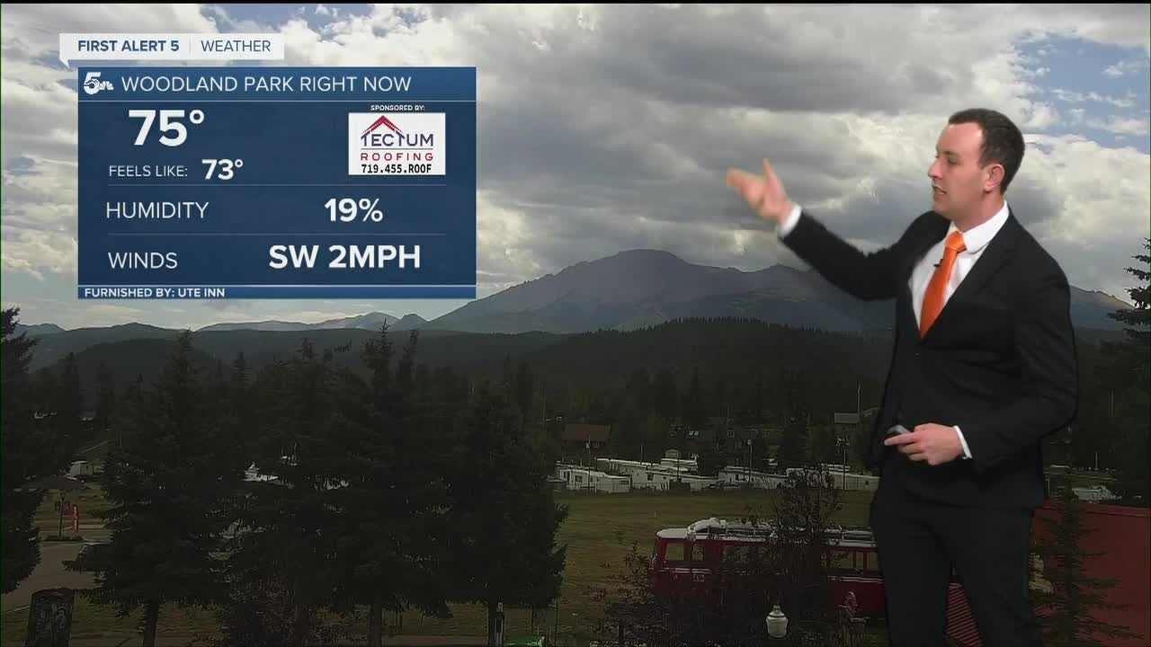
WOODLAND PARK: High: 79; Low: 49. Warm with scattered storms possible in the afternoon but severe weather is not expected.
TRI-LAKES: High: 80s; Low: 50s. Warm and breezy with scattered to isolated thunderstorms, some of which could be on the strong side if we can keep the humidity in the air through the afternoon.
PLAINS: High: 90s; Low: 60s. Hot with a few isolated thunderstorms making it east of El Paso and Pueblo counties early this evening. Dry air is going to make it tough to see much rain out there with moisture chances best along Las Animas county and northeast of El Paso through Elbert & Lincoln county.
WALSENBURG/TRINIDAD: High: 90s; Low: 50s. Isolated daytime thunderstorms with no severe weather expected. The air is pretty dry so not a lot of rain is expected, and some of the storms could put down gusty winds.
MOUNTAINS: High: 80s; Low: 50s. Isolated and scattered storms will be possible this afternoon but severe weather is not expected. There's not a lot of moisture over the mountains, so not a lot of rain is expected and not everyone will actually see a storm.
Extended Outlook:
Tomorrow looks pretty hot out there with some virga over the mountains and through the west side of El Paso County over the Rampart Range. We'll stay hot and dry through Saturday.
A cold front Sunday will bring some heat relief and perhaps a few scattered thunderstorms to the region. Heat takes over early next week with a few thunderstorms by Wednesday afternoon.
KOAA News5 on your time, streaming on your Roku, FireTV, AppleTV and AndroidTV.
News5 App | First Alert 5 Weather App | Youtube | Facebook | Instagram | Twitter
