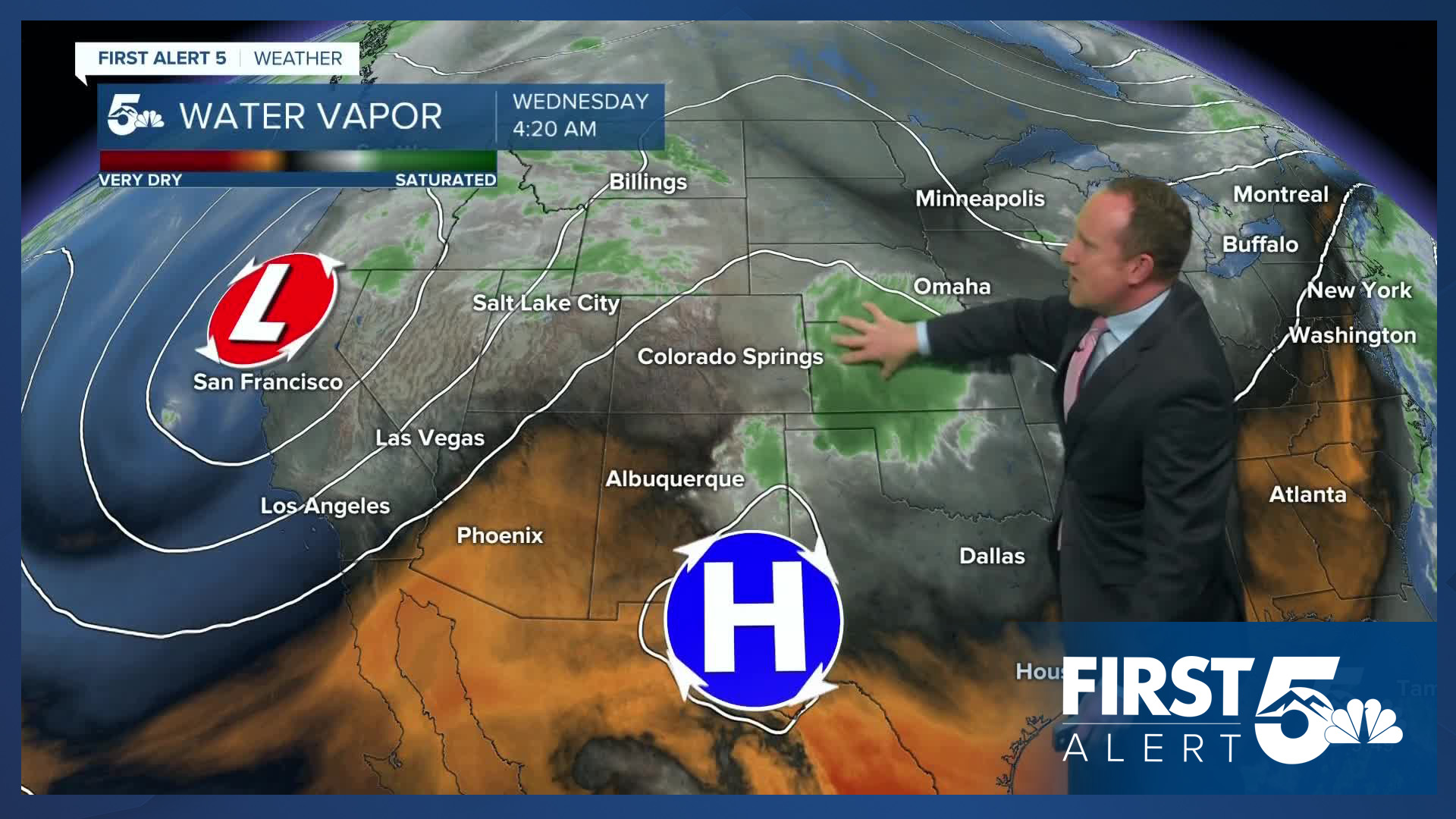
Today’s Forecast:
Clear air and clear skies this morning will give way to mostly cloudy and stormy skies this afternoon. Storms will be widely scattered today outside of the mountains. While severe threats won't be as elevated as yesterday, there's still a chance for stronger wind gusts and small hail this evening on the eastern Plains.
Temperature wise, it will be our hottest day of the week. On the Plains, highs today will warm into the 80s and 90s. For the mountains and mountain valleys, temperatures will top out in the 60s, 70s, and 80s.
Colorado Springs forecast: High: 86; Low: 56. Wednesday's high in the mid 80s will be around 7 degrees above today's average high of 79 degrees. Another round of widely scattered thunderstorms will be possible this afternoon, with storms forming towards the late afternoon hours.
Pueblo forecast: High: 92; Low: 58. Mostly clear skies this morning will give way to a mostly cloudy and hot afternoon. Lingering sub-tropical may bring us a rogue shower or storm this afternoon after 4 pm, with a similar forecast on tap tomorrow.
Canon City forecast: High: 89; Low: 60. After some strong thunderstorms in Fremont County on Tuesday, we'll continue to see the potential for widely scattered showers this afternoon. Highs on Wednesday will top out in the upper 80s.
Woodland Park forecast: High: 77; Low: 48. Warm, with the potential for another round of showers and thunderstorms today as threats for rain will be highest in the mid-week period west of I-25.
Tri-Lakes forecast: High: 70s/80s; Low: 50s. Areas of low clouds and fog this morning will give way to some sunshine into the early afternoon hours ahead of the potential for a few showers and storms this afternoon. With drier air near the surface, today's storms will be capable of strong and gusty winds.
Plains forecast: High: 80s/90s; Low: 50s/60s. After strong and severe thunderstorms on Tuesday, Wednesday should be a little less stormy across the Plains. Any storms that develop will mainly bring threats of strong and gusty winds to nearby areas.
Walsenburg and Trinidad forecast: High: 80s; Low: 50s. Very warm on Wednesday, with a mix of sun and clouds this afternoon and just a very small change of a brief gusty storm.
Mountains forecast: High: 60s/70s; Low: 40s. Warm, with increasing clouds and scattered thunderstorms this afternoon. Most storms should clear out from the mountains by sunset this evening.
Extended outlook forecast:
Other than a degree or two of cooling on Thursday, our forecast will be pretty similar to today, with widely scattered thunderstorms returning by the afternoon. While storms will be hit or miss again for the Plains, the potential for heavy rain will be increasing late this week in the mountains.
Friday looks like our best chance for rain outside of the mountains. Highs will be cooler to close out the week, topping out in the upper 70s in Colorado Springs. Recycled moisture on Saturday may lead to a spot shower or two by the afternoon. Chances for rain will all but disappear from our forecast from Sunday into early next week, with highs in the 80s in southeastern Colorado.
____
Curious about the First Alert 5 Weather Storm Impact Scale? Check out our cheatsheet explainer.
Watch KOAA News5 on your time, anytime with our free streaming app available for your Roku, FireTV, AppleTV and Android TV. Just search KOAA News5, download and start watching.


