

Today’s Forecast:
Fire danger is high across the region today with Red Flag Warnings in effect for El Paso, Pueblo, Fremont, and Crowley counties.
We'll see scattered storms move in from the south later today, but most of that rain will move west into the mountains and stay south of Highway 50.
COLORADO SPRINGS: High: 84; Low: 52. Increasing clouds with strong daytime winds out of the east and very low humidity increasing fire danger, especially in the dry grasses.
PUEBLO: High: 90; Low: 54. Cloudy and warm through the afternoon with gusty winds and low humidity making fire danger very high. Weak showers or thunderstorms will try to move into the area after 6 pm tonight from the south, but the air is so dry we think it'll more likely stay virga than actual rain hitting the ground.
CANON CITY: High: 85; Low: 51. Cloudy and hot today with gusty east winds and very low relative humidity making fire danger high in the afternoon.
WOODLAND PARK: High: 73; Low: 45. Cloudy and mild today with breezy and dry daytime conditions.
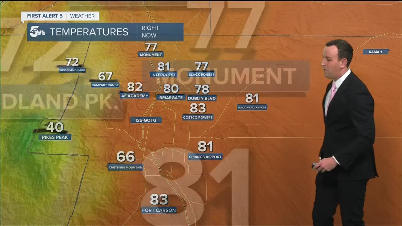
TRI-LAKES: High: 70s; Low: 40s. Cloudy and warm today with dry skies and elevated fire conditions in the afternoon.
PLAINS: High: 90s; Low: 50s. Hot and windy today with high fire danger through the region, especially in Crowley county with the active Red Flag Warning. We could see scattered storms south of Highway 50 in the afternoon, but dry air might make it so no rain really reaches the ground.
WALSENBURG/TRINIDAD: High: 80s; Low: 40s. Cloudy and windy with scattered showers and thunderstorms after 3 pm today. Storms will move north and west through the evening back into the mountains.
MOUNTAINS: High: 40s; Low: 20s. We should stay dry along the Front Range and north today, but scattered showers and thunderstorms will be possible in the Sangres and Wet Mountains through the afternoon and early evening.
Extended Outlook:
Cooler weather settles in this week with highs dropping to the 70s and 80s Tuesday with rain in the afternoon, mainly west of I-25 in the mountains. We'll be much cooler by Wednesday and Thursday with Wednesday as the most likely day for rain along and east of I-25. We could see a little wrap-around rain early Thursday morning with mountain rain remaining in the forecast through Friday and Saturday.
KOAA News5 on your time, streaming on your Roku, FireTV, AppleTV and AndroidTV.
News5 App | First Alert 5 Weather App | Youtube | Facebook | Instagram | Twitter
