


Tonight's Forecast:
Tonight, snow will pick up over the mountains as our next storm system makes its way out towards Colorado. Overnight lows will be in the 30s and 40s. Snow showers will pick up for the mountains and winter weather advisories will be in place. Use caution if you are traveling to the mountains.
Colorado Springs forecast: Low: 37; High: 62;
On Sunday, Colorado Springs will have temperatures in the upper 30s. Temperatures will be more seasonable throughout the day with highs getting into the lower 60s. The chance of rain will last throughout the day. Some thunderstorms will drop higher amounts of rainfall.
Pueblo forecast: Low: 40; High: 70;
Pueblo will wake up to temperatures in the 40s. Rain chances will pick up around noon. These showers will be spotty so not everyone will have rain. Highs will be in the 70s.
Canon City forecast: Low: 40; High: 68;
Canon City will start the day off with temperatures in the lower 40s. Rain chances will pick up during the afternoon, but these showers will be spotty. Rain will wrap up in the evening. Highs will be in the upper 60s.
Woodland Park forecast: Low: 31; High: 52;
Woodland Park will have a chance for some brief snow showers overnight, but as temperatures warm during the day on Sunday, this will mix over to rain. Conditions will be breezy at times. Highs will be in the mid-50s.
Tri-Lakes forecast: Low: 35; High: 57;
Monument and the surrounding areas will have morning temperatures in the mid-30s. The chance for rain will pick up during the afternoon. Conditions will also be breezy during the day. Highs in the afternoon will be in the upper 50s.
Plains forecast: Low: 30s & 40s; High: 70s;
The eastern plains have a chance for some rain in the afternoon on Sunday. These showers will be spotty, so not everyone will get rain. As this system continues to push out towards Colorado, we will get some breezy conditions during the day. Highs will be in the 70s.
Walsenburg and Trinidad forecast: Low: 37/40; High: 67/69;
The southern I-25 corridor will have morning temperatures in the upper 30s and lower 40s. Temperatures will eventually warm into the upper 60s. Winds will pick up at times, especially if there are nearby thunderstorms.
Mountains forecast: Low: 30s; High: 50s;
The mountains will have snow showers overnight and will last throughout the day on Sunday. Morning temperatures will be in the 30s, but by the afternoon highs will be in the 50s. The snow level looks to be around 11,000 feet.
Extended outlook forecast:
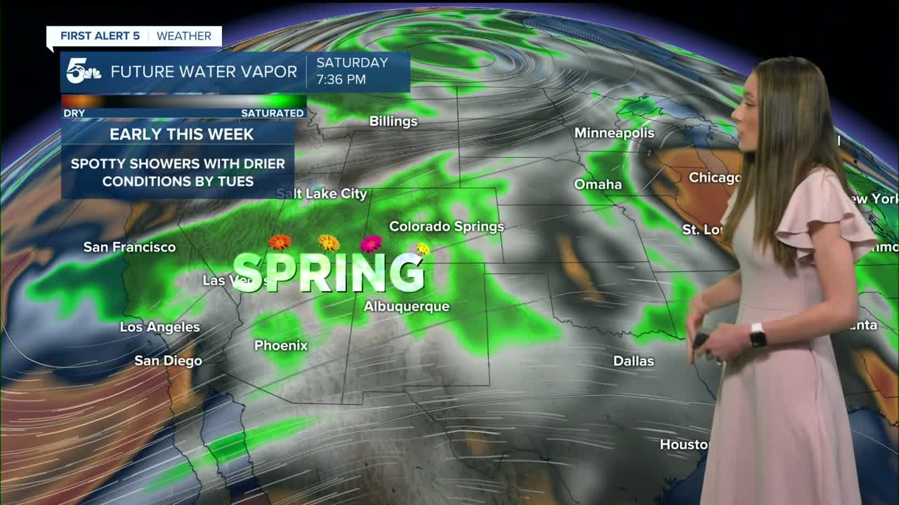
There will be multiple chances for rain this week, and if this forecast doesn't change much than Thursday looks to have the best chances for rain. Tuesday will have the driest conditions and fire danger will be a concern.
____
Curious about the First Alert 5 Weather Storm Impact Scale? Check out our cheatsheet explainer.
Watch KOAA News5 on your time, anytime with our free streaming app available for your Roku, FireTV, AppleTV and Android TV. Just search KOAA News5, download and start watching.
