

Tonight's Forecast:
It will be a cool evening with some thunderstorms moving through the Pikes Peak Region, but things will clear out by 8PM. These thunderstorms will form into a line closer to Lincoln county and continue to push East.
Going into Sunday morning, temperatures will be chilly. If you are heading to Labor Day Liftoff you will need a jacket. Rain chances will go down significantly for I-25, but there will still be a few showers closer to Fremont and Teller counties.
Colorado Springs forecast: Low: 49; High: 78;
A few thunderstorms will move through the area this evening, but will clear out by 8PM. Temperatures will take a dive into the lower 50s by the early morning hours and bottom out in the upper 40s by Sunday morning. Highs in the afternoon will be in the upper 70s.
Pueblo forecast: Low: 54; High: 83;
Pueblo will stay steady with overnight temperatures and eventually get into the mid-to-lower 50s. A few clouds will move into the area by the afternoon, and temperatures will get into the lower 80s.
Canon City forecast: Low: 56; High: 80;
Canon City will have a 10-20% chance of rain in the afternoon, but most of the area will stay dry. Temperatures will be in the lower 80s by the late afternoon.
Woodland Park forecast: Low: 40; High: 70;
In the high country, overnight lows will be chilly in the lower 40s. Any early morning hikes or activities will likely require a jacket. Afternoon highs will be in the lower 70s. There is a small chance for rain in southern Teller county in the afternoon.
Tri-Lakes forecast: Low: 47; High: 74;
The Monument area will have morning lows in the upper 40s, but temperatures will quickly warm up into the 70s by the afternoon. There will be mostly clear conditions throughout the day.
Plains forecast: Low: 50s; High: 80s;
The plains will have a line of thunderstorms move through this evening and into the late hours on Saturday. Sunday will have morning lows in the 50s across the area. A few clouds will move into the area by the afternoon.
Walsenburg and Trinidad forecast: Low: 52/50; High: 77/79;
The southern I-25 corridor will have a few showers and thunderstorms this evening. Overnight lows will be in the lower 50s. Conditions will be much clearer on Sunday, except for a few clouds. Highs will be in the upper 70s.
Mountains forecast: Low: 40s; High: 70s;
The mountains will have the best chances for rain with some lingering moisture in place. Morning lows will be in the 40s and by the afternoon these temperatures will warm into the 70s.
Extended outlook forecast:
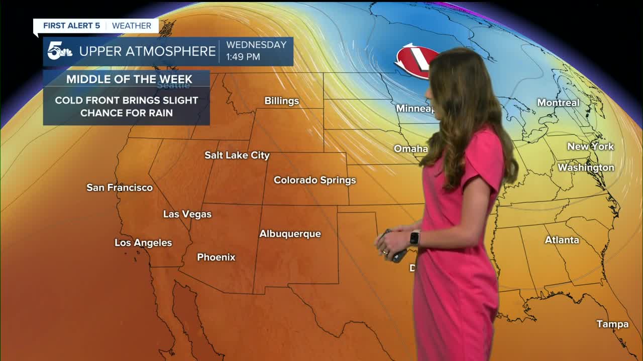
The next few days will be fairly quiet, except for a small chance of rain for the higher terrain. Temperatures will stay consistent in the upper 70s and lower 80s for highs. A cold front will push through Colorado on Wednesday and increase rain chances too. There will be an isolated chance for showers on Thursday, and we clear out again by Friday.
____
Curious about the First Alert 5 Weather Storm Impact Scale? Check out our cheatsheet explainer.
Watch KOAA News5 on your time, anytime with our free streaming app available for your Roku, FireTV, AppleTV and Android TV. Just search KOAA News5, download and start watching.
