

Tonight's Forecast:
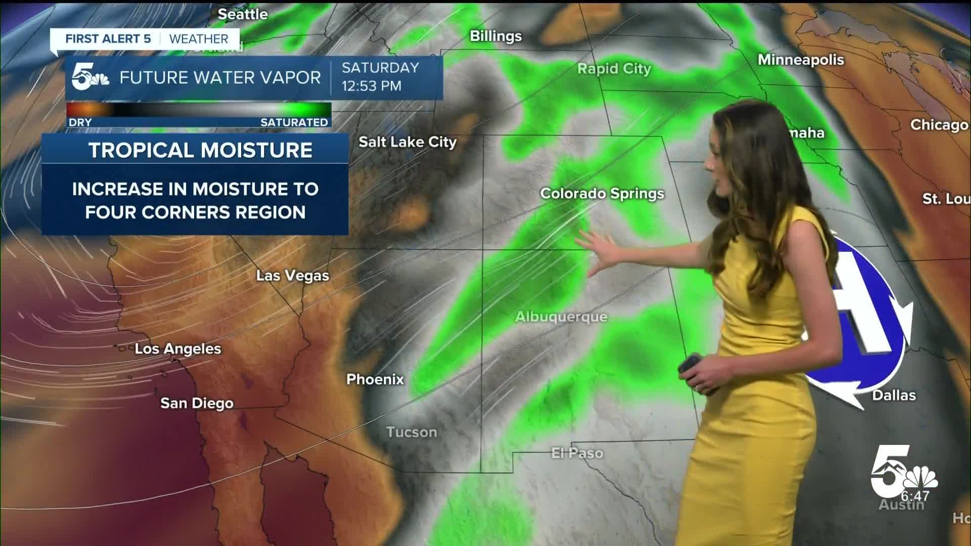
Some showers will move over the higher terrain and a few will make it onto the I-25 corridor, especially near Monument. Rain will clear out, but with moisture still streaming into the state from post tropical storm Priscilla rain chances will return on Saturday.
Colorado Springs forecast: Low: 52; High: 74;
Colorado Springs will have morning lows in the lower 50s. There will be some showers early on in El Paso county, but not everyone will see rain. Rain chances will still pick up in the afternoon. These showers will wrap up around dinner time. Highs will be in the lower 70s.
Pueblo forecast: Low: 54; High: 80;
Pueblo will stay mostly dry overnight. Clouds will stick around and a few sprinkles will be possible in the morning. Scattered showers will move in during the afternoon. Temperatures will still stay warm with highs in the lower 80s.
Canon City forecast: Low: 54; High: 76;
Canon City will have overnight lows in the mid-50s. A few passing showers will be possible early in the morning. There will be a small break for showers before picking back up in the afternoon. Showers will move out before sunset.
Woodland Park forecast: Low: 46; High: 63;
Woodland Park will dip into the mid-40s overnight. Showers are expected to pick up mainly in the afternoon. Highs will be in the 60s.
Tri-Lakes forecast: Low: 49; High: 70;
Monument will have the best chances for rain overnight, but most of it will dissipate. Going into the afternoon on Saturday rain chances will pick up again. Highs will be in the 70s by the afternoon.
Plains forecast: Low: 50s; High: 80s;
The plains will stay dry to start off Saturday and by the evening some rain will move into the area. The area will have highs in the lower-to-mid 80s by the afternoon.
Walsenburg and Trinidad forecast: Low: 53/55; High: 75/78;
The southern I-25 corridor will see mostly cloudy skies overnight. With moisture lingering behind, rain chances will pick back up in the afternoon. Temperatures will be in the mid-to-upper 70s on Saturday.
Mountains forecast: Low: 40s & 50s; High: 60s;
The southwestern mountains have the best chance to see flash flooding. Rain will be ongoing throughout the majority of the day. Highs will be in the 60s.
Extended outlook forecast:
Conditions will clear out going into Sunday. If you are wanting to get outside that will be the better of the two days. A cold front will push through the area and drop highs going into the start of the work week. Temperatures will increase as we go throughout the week.
____
Curious about the First Alert 5 Weather Storm Impact Scale? Check out our cheatsheet explainer.
Watch KOAA News5 on your time, anytime with our free streaming app available for your Roku, FireTV, AppleTV and Android TV. Just search KOAA News5, download and start watching.
