

Tonight's Forecast:
Temperatures will remain on the warmer side overnight. Overnight lows will drop into the 30s and 40s. Some clouds will move into our area overnight as a low-pressure system continues to move in.
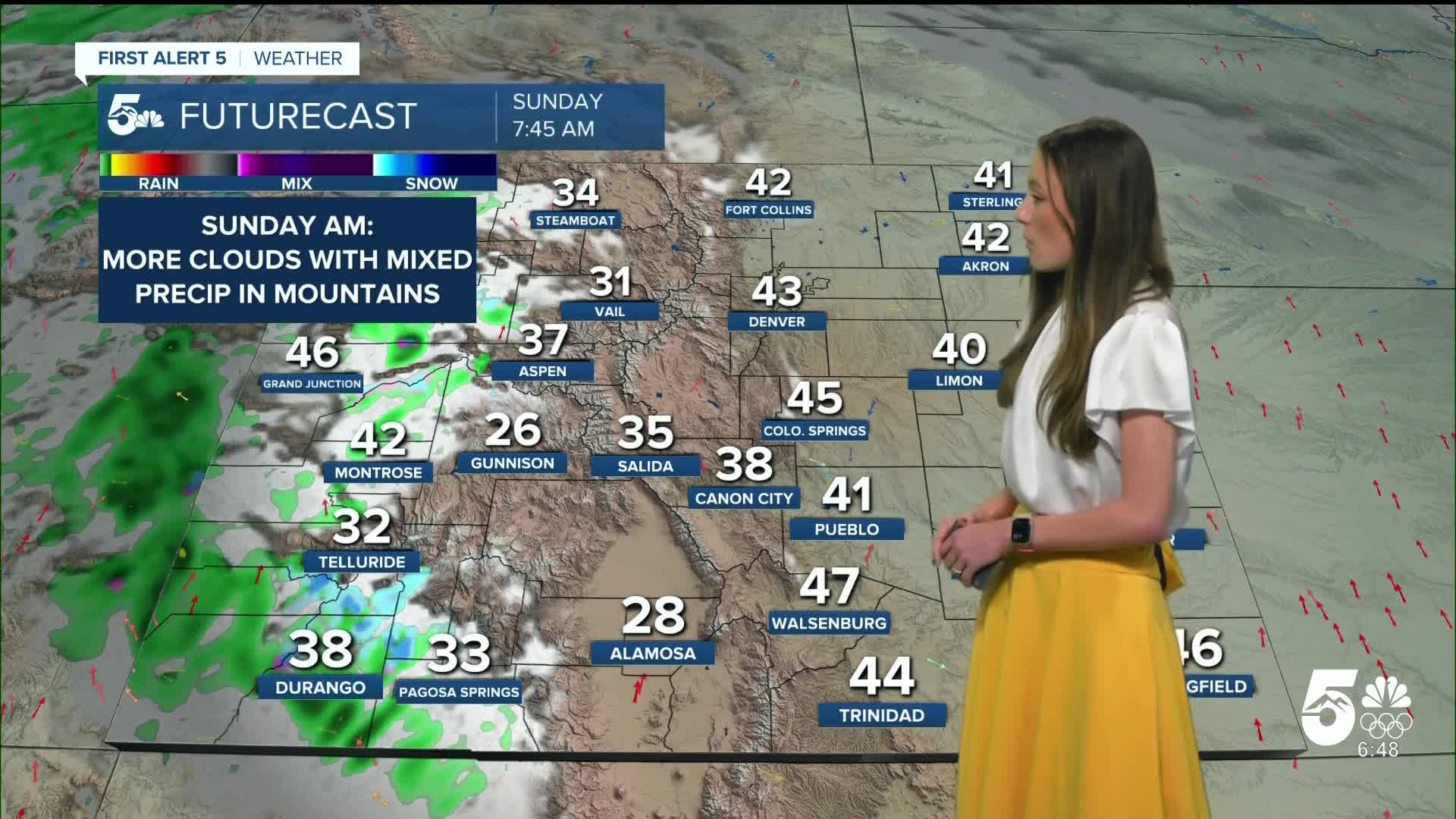
Colorado Springs forecast: Low: 43; High: 70;
Colorado Springs will have a nice start to the weekend with afternoon highs in the 70s. Mostly clear conditions will stay throughout the day. As our next system moves in, clouds increase and rain will pick up on Sunday evening.
Pueblo forecast: Low: 39; High: 75;
Morning temperatures will dip into the 30s, so if you have an early morning you will want your jacket. Pueblo will be quite warm with highs in the mid-70s. Sunny conditions will last throughout the day.
Canon City forecast: Low: 45; High: 72;
Morning temperatures in Canon City will be in the mid-40s. Above normal temperatures will hold in place throughout the day. Afternoon highs will be in the lower 70s. Sunny skies will help to keep things warm throughout the day.
Woodland Park forecast: Low: 37; High: 62;
Woodland Park's overnight low will be 37 degrees. As the sun rises temperatures will warm into the 50s by 11AM. Highs in the afternoon will be warm for this time of year in the lower 60s.
Tri-Lakes forecast: Low: 41; High: 68;
Monument will dip into the 40s overnight with a few clouds. Temperatures by the afternoon will have warmed into the upper 60s. Sunny skies will last throughout the day.
Plains forecast: Low: 40s; High: 70s;
Another warm and dry day for the eastern plains. Highs will push into the 70s across the region. No rain in the forecast and that will last throughout the weekend. Winds will remain light on Saturday.
Walsenburg and Trinidad forecast: Low: 45/41; High: 70/72;
The southern I-25 corridor will have overnight lows in the lower-to-mid 40s which is above average. Temperatures will continue to climb throughout the day eventually topping out in the 70s. Winds will remain light throughout the day.
Mountains forecast: Low: 20s & 30s; High: 60s;
The mountains will finally see some snow towards the back half of the weekend. Saturday's highs will be in the 60s. Snow will enter the area Sunday afternoon and last throughout the evening. Accumulations will be highest towards Wold Creek Pass. There will only be a few inches added towards the ski resorts.
Extended outlook forecast:
Snow showers will stick around in the central mountains into Monday, but will become lighter. Temperatures will drop for everyone and that will continue into the middle of the week. The next system that comes in towards the middle of next week will potentially bring us our first flurries of the season to I-25.
____
Curious about the First Alert 5 Weather Storm Impact Scale? Check out our cheatsheet explainer.
Watch KOAA News5 on your time, anytime with our free streaming app available for your Roku, FireTV, AppleTV and Android TV. Just search KOAA News5, download and start watching.
