



Today’s Forecast:
This morning temperatures are running a few degrees cooler than yesterday. We will eventually warm up around 9/10AM. Afternoon highs will reach the 50s across I-25. Breezy conditions will be possible further east, closer to the Colorado/Kansas borer.
Colorado Springs forecast: High: 56; Low: 32.
Colorado Springs will have temperatures this morning in the 20s and 30s. We are still tracking temperatures in the 50s later on today. Luckily, breezy conditions will stay at bay today. This will change though once we get into Friday.
Pueblo forecast: High: 57; Low: 35.
Pueblo will have morning temperatures in the 20s. It will take a few hours before temperature start to feel a little more comfortable. Afternoon highs will reach the upper 50s today. Breezy conditions will return on Friday.
Canon City forecast: High: 59; Low: 42.
Canon City is starting the day off with temperatures in the 40s. This is one of the warmer areas this morning. Afternoon highs will also be in the upper 50s later on today.
Woodland Park forecast: High: 52; Low: 31.
Woodland Park this morning has temperatures in the lower 30s. It's very similar to the past few mornings. Highs will eventually get into the lower 50s. Just tracking a few clouds, but this shouldn't have an effect on temperatures too much.
Tri-Lakes forecast: High: 55; Low: 33.
Monument is nice and calm this morning which is allowing for cooler temperatures to settle in. Lows are in the 30s. It will take a couple of hours before temperatures become a little more comfortable. Highs will reach the mid-50s.
Plains forecast: High: 50s & 60s; Low: 40s.
The eastern plains this morning have temperatures in the 40s. Afternoon highs will eventually get into the 50s and 60s. There will be a few areas that experience some stronger wind gusts. This will mainly be across the Colorado/Kansas border. Winds will become stronger as we get into Friday morning.
Walsenburg and Trinidad forecast: High: 58/63; Low: 40/42.
The southern I-25 corridor is one of the few areas experiencing some gusty conditions this morning. Gusts are approaching 30 mph. Afternoon temperatures will eventually get into the upper 50s and lower 60s.
Mountains forecast: High: 40s & 50s; Low: 20s.
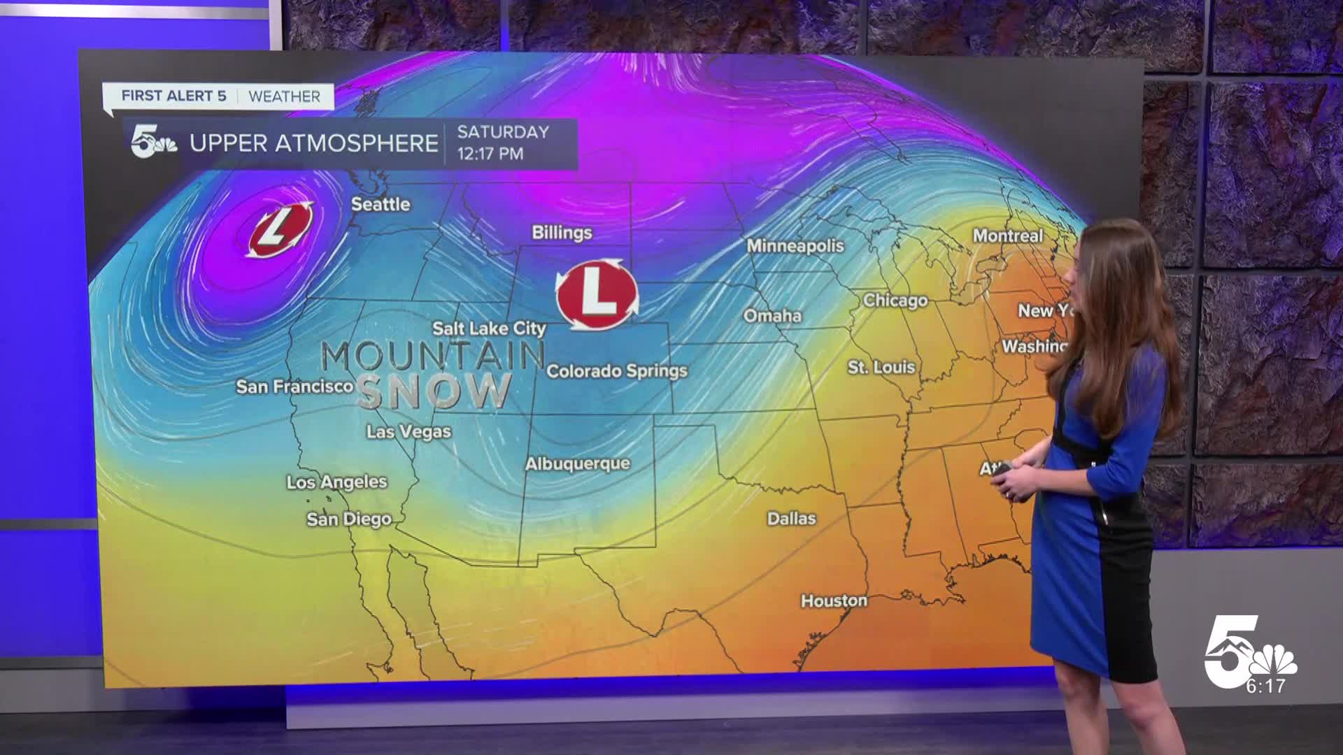
The mountains are quite chilly this morning with a few teens. Warmer temperatures will arrive by the afternoon and there will be some cloud cover. Still tracking some sunshine though. Breezy conditions and mountain snow moves in on Friday.
Extended outlook forecast:
Looking ahead, we will see those gusty conditions return on Friday. High wind watches will be in effect this afternoon and last until Friday at 4PM. This is only for parts of Huerfano county and the higher terrain. Gusts have the possibility of approaching 65-75mph.
This weekend will see a big cool down with highs only getting into the mid-40s. Snow will spread across the higher terrain. A few models have a dusting over the northern portion of El Paso county. Ground temperatures will be too warm to really see any accumulation, and there's not a whole lot of moisture with this system. Just don't be surprised if you see some flurries in northern El Paso county over the weekend.
____
Curious about the First Alert 5 Weather Storm Impact Scale? Check out our cheatsheet explainer.
Watch KOAA News5 on your time, anytime with our free streaming app available for your Roku, FireTV, AppleTV and Android TV. Just search KOAA News5, download and start watching.
