
Tonight’s Forecast:
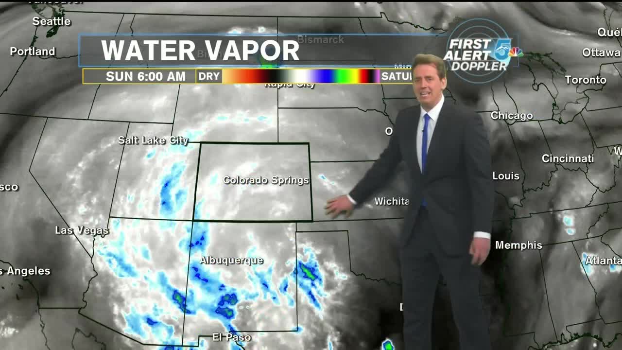
A broad area of high pressure is dominating the Southwestern US, including Colorado. There is more than enough moisture to work with, but with the high over top of us, we’re lacking sufficient energy to create widespread thunderstorms. Those that do form have been confined to the mountains and have relatively little motion to them, creating flash flooding events where they do pop up. Where there are cracks in the area of high pressure, we’ll find greater chances for thunderstorms.
Tonight, thunderstorms will stay in the high country for the most part. There is a chance for some of them to spill over onto the I-25 corridor. Otherwise, look for partly cloudy to mostly clear skies along I-25, mostly cloudy skies in the mountains, and clear conditions out on the plains. Overnight lows will drop into the upper 50s to lower 60s. Monday brings another round of showers and thunderstorms to the mountains, with an isolated chance for the I-25 corridor. Another warm day with above average temperatures near 90 for the Springs, mid 90s for Pueblo and upper 90s for the Eastern Plains.
COLORADO SPRINGS: Low: 59, High: 89. An isolated shower or thunderstorm is possible in the early evening, otherwise partly cloudy with lows near 60. Sunny for your Monday with another chance for an isolated shower or Thunderstorm late in the day and highs near 90.
PUEBLO: Low: 63, High: 94. An isolated shower or thunderstorm is possible in the early evening, otherwise mostly clear with temperatures in the lower 60s. Sunny for your Monday with another chance for an isolated shower or Thunderstorm late in the day and highs in the lower 90s.
CANON CITY: Low: 64, High: 93. An isolated shower or thunderstorm is possible in the early evening, otherwise partly cloudy with temperatures in the lower 60s. Mostly sunny for your Monday with scattered showers and thunderstorms developing late in the day and highs in the lower 90s.
WOODLAND PARK: Low: 51, High: 78. Scattered showers and thunderstorm this evening, then becoming partly cloudy with temperatures in the lower to mid-50s. Mostly sunny to start your Monday with another round of scattered afternoon showers and thunderstorms and highs in the upper 70s.
TRI-LAKES: Low: 50s, High: 80s. An isolated shower or thunderstorm is possible in the early evening, otherwise partly cloudy with lows in the 50s. Mostly sunny for your Monday with another chance for an isolated shower or thunderstorm late in the day and highs in the lower to mid-80s.
PLAINS: Low: 60s, High: 90s. Mostly clear tonight with lows in the 60s. Mostly sunny for your Monday with a slight chance for an evening shower or thunderstorm and highs in the mid to upper 90s.
WALSENBURG/TRINIDAD: Low: 60s, High: 80s/90s. Scattered showers and thunderstorm this evening, then becoming partly cloudy with temperatures in the lower to 60s. Mostly sunny to start your Monday with another round of scattered afternoon showers and thunderstorms and highs in the upper 80s to lower 90s.
Extended Outlook:
As we get into the middle of the week, drier air looks to work into Colorado for Tuesday and Wednesday. Chances for mountain thunderstorms and showers will be present everyday due to daytime heating, but they will still lack sufficient momentum to carry them into the lower elevations. By late Wednesday and Thursday, the ridge moves away from us and allows for more of a monsoonal flow of moisture into Colorado, increasing our chances for rain Thursday-Saturday, before finally clearing out and drying out next Sunday.
