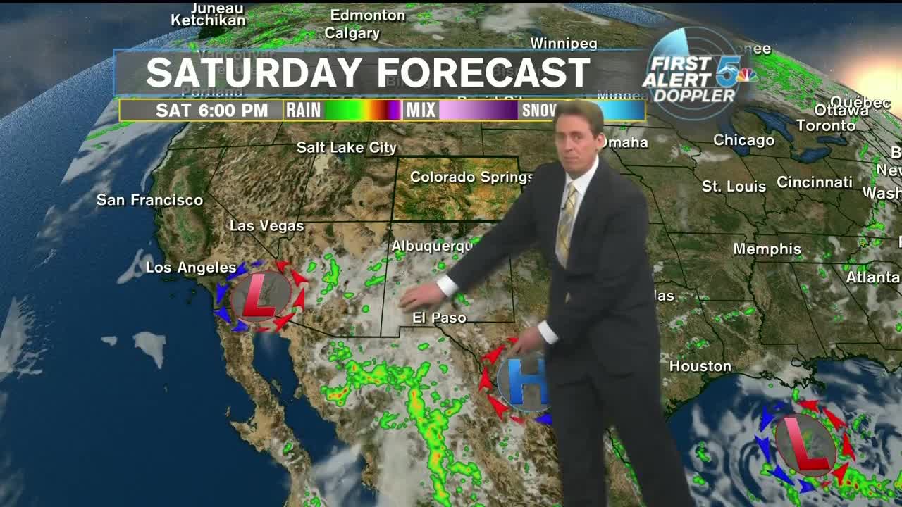

Tonight’s Forecast:
The upper levels of the atmosphere are teeming with storylines this weekend. We have a series of high and low pressures from coast to coast that line up like gears in a machine. Sandwiched in between one of these highs and lows is a stream of moisture that is being funneled directly into Colorado. It will have varying impacts on the state depending on where you live.
Tonight, clear and crisp as temperatures fall back into the 50s for the lower elevations and 40s for the mountains. On Sunday, cloud cover will increase throughout the day in the form of high cirrus clouds in the lower elevations and eastern plains. In the mountains, the clouds will be a bit fluffier and carry with them the potential for isolated showers and storms, primarily for the Southern Sangre de Cristo Mountains and San Louis Valley. Otherwise, still lots of sunshine and warm temperatures for this time of the year with highs in the 80s along I-25, lower 90s for the Plains, and 60s and 70s for the mountains.
COLORADO SPRINGS: Low: 54, High: 85. Clear tonight with light winds and lows in the mid-50s. Increasing clouds on Sunday, but still warm and highs in the mid-80s.
PUEBLO: Low: 56, High: 91. Clear tonight with light winds and lows in the mid-50s. Increasing clouds on Sunday, but still warm and highs in the lower 90s.
CANON CITY: Low: 59, High: 88. Clear tonight with light winds and lows in the upper 50s. Increasing clouds on Sunday and an isolated chance for a brief rain shower late, but still warm and highs in the upper 80s.
WOODLAND PARK: Low: 47, High: 79. Clear tonight with light winds and lows in the upper 40s. Increasing clouds on Sunday and an isolated chance for a brief rain shower late, but still warm and highs in the upper 70s.
TRI-LAKES: Low: 40s/50s, High: 70s/80s. Clear tonight with light winds and lows in the upper 40s to lower 50s. Increasing clouds on Sunday, but still warm and highs in the upper 70s to lower 80s.
PLAINS: Low: 50s/60s, High: 80s/90s. Clear tonight with light winds and lows in the upper 50s to lower 60s. Increasing clouds on Sunday, but still warm and highs in the upper 80s to lower 90s.
WALSENBURG/TRINIDAD: Low: 50s, High: 80s. Clear tonight with light winds and lows in the mid-50s. Increasing clouds on Sunday and a chance for a brief rain shower late, but still warm and highs in the mid-80s.
Extended Outlook:
A large upper-level disturbance will move through on Tuesday and try to sweep out a lot of these smaller systems. As it does so, it will bring a greater chance of mountain showers and storms, but continue to keep the lower levels dry. Temperatures for the next 7 days won’t vary by more than a handful of degrees each day as we settle into a rather tranquil weather pattern.
