

Tonight's Forecast:
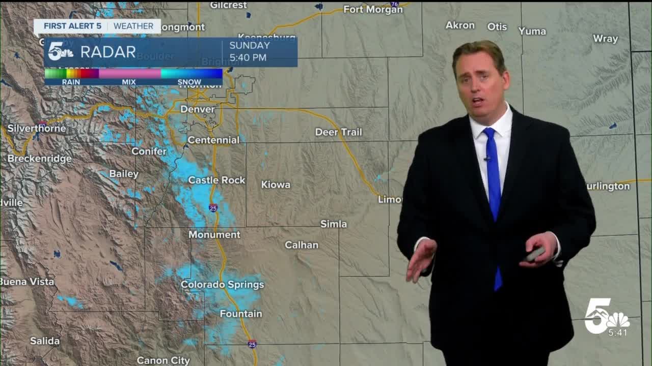
Lingering snow and blowing snow along the mountains west of I-25 will come to an end by midnight. Clouds will continue to break up, allowing for twilight on this Christmas Eve. Overnight lows will be chilly - single digits and teens along I-25 with teens on the plains and single to sub-zero temperatures in the mountains.
Colorado Springs forecast: Low: 10; High: 32;
Pueblo forecast: Low: 11; High: 38;
Canon City forecast: Low: 11; High: 39;
Woodland Park forecast: Low: 3; High: 24;
Tri-Lakes forecast: Low: 0s; High: 20s;
Plains forecast: Low: 10s; High: 30s;
Walsenburg and Trinidad forecast: Low: 10s; High: 30s;
Mountains forecast: Low: 0s; High: 20s;
Extended outlook forecast:
Christmas day will be a chilly one with lots of sunshine throughout the day. Afternoon highs will reach into the upper 20s and lower 30s for many in Southern Colorado. By early evening, clouds will move back in from the storm system that just left us - and those clouds will be accompanied by strong gusty winds on Tuesday. Temperatures though will be on the upswing as our afternoon highs will climb to near 50 by Thursday and Friday.
____
Curious about the First Alert 5 Weather Storm Impact Scale? Check out our cheatsheet explainer.
Watch KOAA News5 on your time, anytime with our free streaming app available for your Roku, FireTV, AppleTV and Android TV. Just search KOAA News5, download and start watching.
