

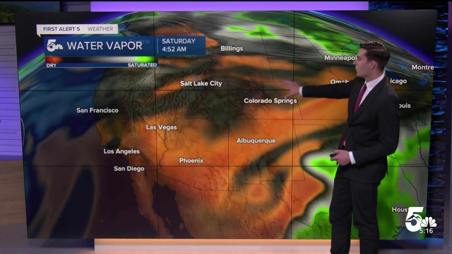

Tonight’s forecast: Lingering showers across the Plains will taper off and skies will gradually clear out this evening. Overnight lows will drop into the 40s for most, though the high country will be chillier. A Frost Advisory is in effect for the San Luis Valley early Friday morning, with temperatures dropping to near-freezing overnight. Tomorrow we’ll see a chance for some morning fog for Southern Colorado before a warmer, sunnier day. Highs will climb back to near 70 degrees for the Pikes Peak Region, around average for this time of year.
Extended forecast: This weekend brings a warming trend with many jumping back into the low-80s by Saturday under mostly sunny skies. Sunday is trending slightly cooler with a chance for spotty mountain showers or storms. Overall, however, our weather will stay warm and relatively quiet through the weekend and into early next week. We’ll see highs in the low-80s through Tuesday, when there’s another chance of seeing some isolated thunderstorms develop.
Colorado Springs forecast: High: 69; Low: 44. Cool overnight tonight with chances for morning fog. We’ll see temperatures warm to around 70, near average for this time of year, with mostly sunny skies.
Pueblo forecast: High: 71; Low: 46. Clearing skies overnight will lead to a cool morning. Daytime highs will climb back into the low-70s under mostly sunny skies.
Canon City forecast: High: 72; Low: 47. More sunshine in store for Friday with a warmer day expected as our weather pattern quiets down. Highs will reach the low-70s.
Woodland Park forecast: High: 66; Low: 37. Clear and chilly overnight, with the potential for morning fog. Sunshine then builds through our Friday with temperatures rebounding into the mid-60s.
____
Curious about the First Alert 5 Weather Storm Impact Scale? Check out our cheatsheet explainer.
Watch KOAA News5 on your time, anytime with our free streaming app available for your Roku, FireTV, AppleTV and Android TV. Just search KOAA News5, download and start watching.
