

Tonight's Forecast:
Tonight, temperatures will be warmer getting into the 40s for I-25. Areas closer to the mountains will have cooler temperatures in the 30s. The cloud cover will stick around overnight, but winds will be calm.
Colorado Springs forecast: Low: 46; High: 72;
Colorado Springs will have overnight lows in the mid-40s. With this next incoming system slowly approaching this will increase rain chances in the afternoon. Highs will be in the lower-70s which is a few degrees above normal for this time of year. Get out and enjoy it because temperatures will take a tumble on Tuesday.
Pueblo forecast: Low: 47; High: 80;
Pueblo will wake up to temperatures in the upper 40s, and there will still be a few clouds. Pueblo's rain chances won't be as high. and most of the area will not see rain. Afternoon temperatures will be warm with highs getting into the 80s.
Canon City forecast: Low: 47; High: 76;
Canon City will have overnight temperatures in the upper-40s. A few clouds will stick around during the day and increase in the afternoon. Highs will be in the mid-70s, and there will be a 20% chance for some rain. Winds will be coming out of the west.
Woodland Park forecast: Low: 37; High: 61;
Early morning temperatures will be chilly and you will want to grab a jacket. Afternoon temperatures will be warmer in the lower 60s. A stray thunderstorm or two will be possible in the afternoon. Winds will be coming out of the southwest between 5 and 10mph.
Tri-Lakes forecast: Low: 45; High: 66;
Monument and the surrounding areas will have morning temperatures in the mid-40s. The day will start off with partly cloudy conditions and rain chances will increase in the afternoon. Some areas will see some thunderstorms. Afternoon highs will be in the mid-to-upper 60s.
Plains forecast: Low: 40s; High: 80s;
The eastern plains will have overnight lows in the 40s. There will be a few clouds and this will increase throughout the day. A few showers and thunderstorms will be possible in the afternoon and evening. Highs will be in the 80s.
Walsenburg and Trinidad forecast: Low: 47/43; High: 73/75;
The southern I-25 corridor will have morning temperatures in the 40s. Higher elevations will be cooler. There will be a possibility of some breezy conditions with gusts as high as 30mph. Afternoon temperatures will be in the 70s.
Mountains forecast: Low: 30s; High: 60s;
The mountains will have overnight lows in the 30s. The northern front range closer to Denver has been placed in a Winter Storm Watch from Tuesday morning until Wednesday afternoon. Travel along I-70 may be difficult at times. Further south, chances start to drop off. The best timing for snow will be overnight Tuesday and into Wednesday.
Extended outlook forecast:
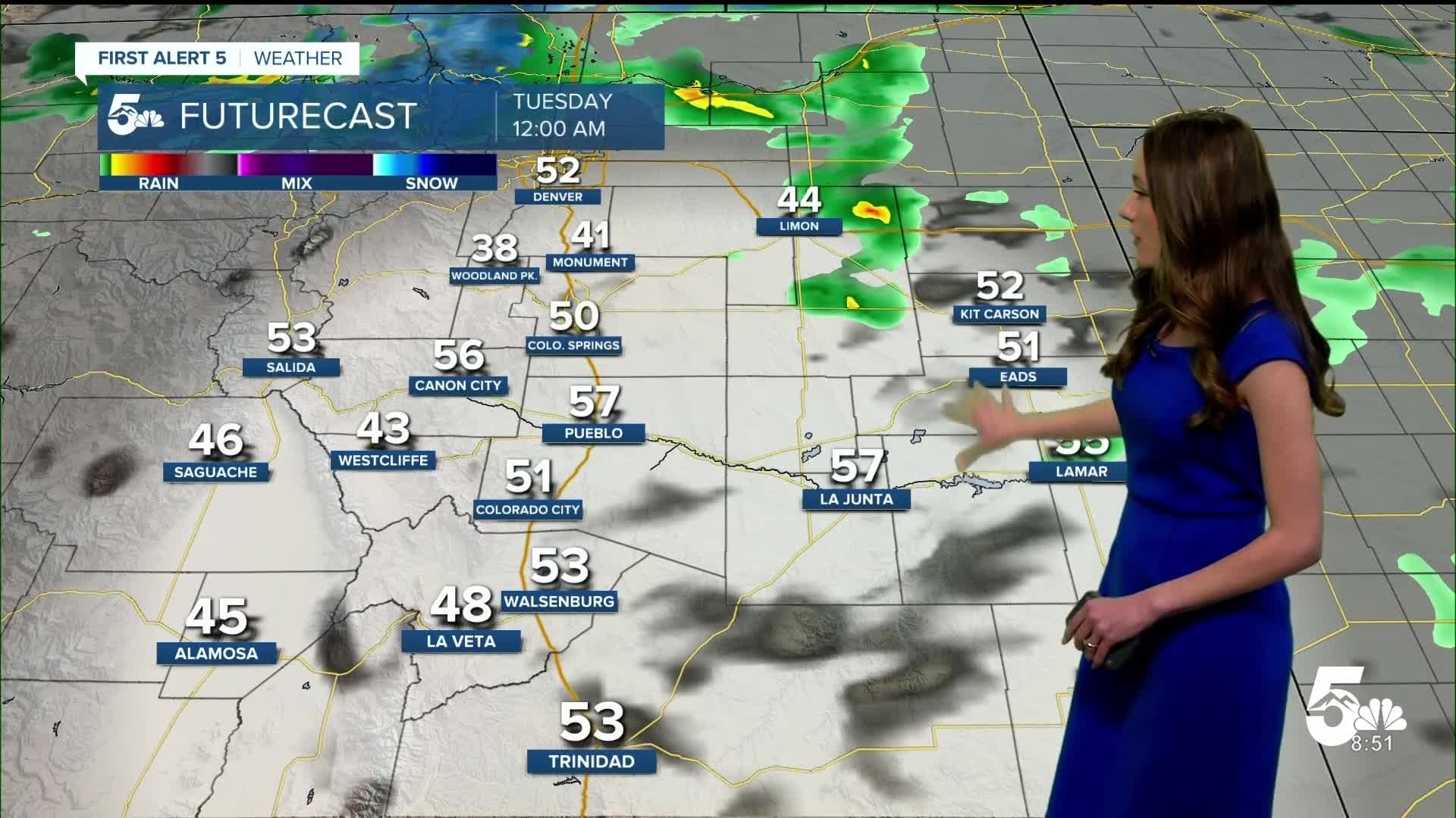
Our next storm system arrives on Tuesday and will bring widespread rain to Colorado. As of right now (Sunday evening), this storm system is taking a more northerly track. Areas closer to Denver look to take on some bigger impacts. Rain pushes into southern Colorado on Tuesday and this will last the majority of the day. As temperatures drop overnight, higher elevated areas will see this transition over to snow. Monument has the chance to see a couple of inches of snow, as well as Woodland Park. This forecast is still subject to change, especially as we get new data in. Pueblo and Fremont county doesn't look as likely due to the warmer temperatures.
____
Curious about the First Alert 5 Weather Storm Impact Scale? Check out our cheatsheet explainer.
Watch KOAA News5 on your time, anytime with our free streaming app available for your Roku, FireTV, AppleTV and Android TV. Just search KOAA News5, download and start watching.
