


COLORADO SPRINGS, Colo. — Tonight's Forecast: Quiet weather remains across Southern Colorado tonight with a dry westerly flow in place. There is a low to medium chance of locally dense fog developing across the eastern plains late tonight into early Thursday morning, along with a few isolated showers or a stray storm near the far southeast border by Thursday afternoon. Lows tonight will dip into the 20s across the high mountain valleys and the 30s to lower 40s across the plains.
Colorado Springs forecast: Low: 38; High: 64; Thursday will stay mild and pleasant across the Pikes Peak region with afternoon highs topping out in the mid-60s. Expect partly sunny skies with passing mid-to-high level clouds and light winds.
Pueblo forecast: Low: 39; High: 65; Pueblo will see another warm afternoon on Thursday with highs climbing into the upper 60s. Skies remain mostly clear to partly cloudy with dry conditions holding through the end of the workweek.
Canon City forecast: Low: 40; High: 68; Highs in Canon City reach the mid-60s on Thursday under partly cloudy skies. Expect mild conditions and a light breeze developing through the afternoon hours.
Woodland Park forecast: Low: 37; High: 58; Highs in Woodland Park reach the mid-50s on Thursday. Expect dry conditions and a mix of sunshine and clouds, with a cool breeze over the higher terrain.
Extended Forecast: Quiet weather continues through Thursday before a significant pattern shift brings moisture, cooler temperatures, and mountain snow over the weekend into next week.
- Thursday – Friday: Drier and mild conditions persist through Thursday. By Friday, a deepening Pacific trough sends a surge of moisture toward western Colorado, while a weak shortwave passing to our south brings a chance for showers over the far southeast plains and light mountain showers.
- Saturday: Increasing southwest flow aloft draws moist Pacific air across the region. High elevation mountain showers will build through the day while lower elevations remain mostly mild.
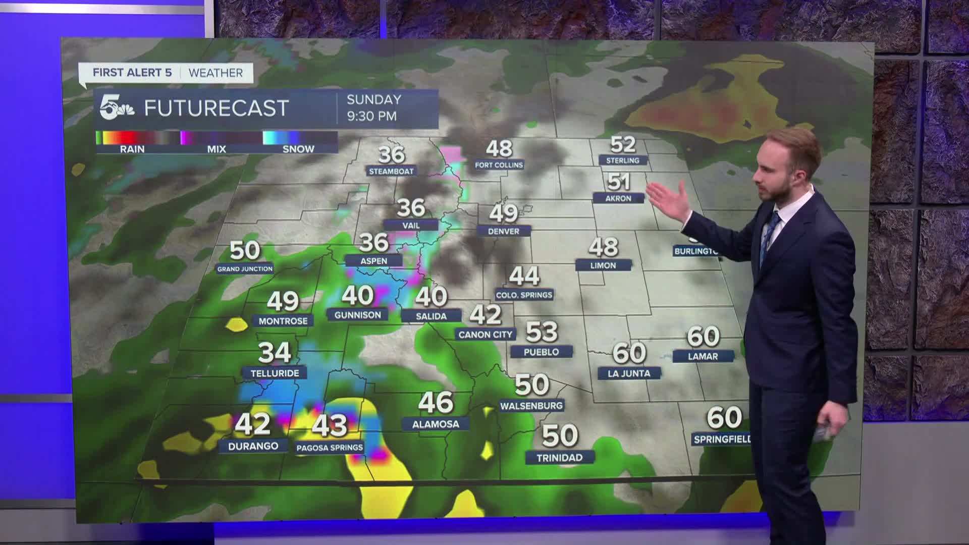
- Sunday – Tuesday: A more impactful storm system takes over as an upper-level trough amplifies into the Four Corners. Heavy mountain snow and rainfall return to the Continental Divide and San Luis Valley, with additional flooding potential. Snow increases on Monday with a chance for a wintry mix or rain/snow showers expanding into the mountain valleys and adjacent plains as temperatures drop. Windy conditions will be around on the backside of this system. Flooding looks to be low with this system!
____
Curious about the First Alert 5 Weather Storm Impact Scale? Check out our cheatsheet explainer.
Watch KOAA News5 on your time, anytime with our free streaming app available for your Roku, FireTV, AppleTV and Android TV. Just search KOAA News5, download and start watching.
