



Today’s Forecast:
Mid-to-upper level clouds are slowly pushing into southern Colorado this morning. These conditions will continue throughout the day from a system passing south of Colorado. Temperatures will be more seasonable today with highs reaching the 50s and 60s.
Colorado Springs forecast: High: 56; Low: 35.
Colorado Springs is chilly this morning with lows in the 30s. The feels-like temperature is in the 20s. Afternoon highs will be more seasonable for this time of year with temperatures reaching the mid-50s. This cloud cover will stick around throughout the day and into the evening.
Pueblo forecast: High: 60; Low: 33.
Pueblo is waking up to temperatures in the 30s and wind chill values in the 20s. By the time we get into the afternoon, highs will be in the lower 60s. This evening will be chilly with temperatures getting down into the 40s. Those clouds will eventually clear out overnight.
Canon City forecast: High: 57; Low: 36.
Canon City already has some cloud cover early this morning and these conditions will stick around through the evening. Afternoon highs will reach the upper 50s. Temperatures will continue to warm as we get into the weekend. Morning temperatures will still be chilly in the 30s.
Woodland Park forecast: High: 47; Low: 20.
Woodland Park has morning lows in the 20s. Some mid-to-upper level couds have pushed into Teller county this morning. With a system passing to the south of us
Tri-Lakes forecast: High: 52; Low: 33.
Monument will have temperatures warm into the 40s by 10AM this morning. Highs will top out in the lower 50s by the afternoon. Once the sun sets, our temperatures will cool off quickly. Overnight lows heading into Saturday morning will dip close to freezing.
Plains forecast: High: 50s & 60s; Low: 30s.
The eastern most counties of Colorado will start off with mostly clear conditions. Later on, some upper level cloud cover will move in and block some sunshine. Afternoon highs will get into the 50s and 60s. The warmest temperatures will be located along highway 50.
Walsenburg and Trinidad forecast: High: 53/58; Low: 35/34.
The southern I-25 corridor will have morning temperatures in the 30s. There are a couple of 20s towards the higher terrain. By the afternoon, highs will reach the 50s. Warmest temperatures will be closer to Trinidad. Overnight temperatures heading into Saturday morning will be in the 30s.
Mountains forecast: High: 40s & 50s; Low: 20s.
The mountains are already seeing some clouds, and these conditions will stick around through the evening. Afternoon highs will be in the 40s and 50s. The San Luis Valley will be chilly today and will have some cloud cover.
Extended outlook forecast:
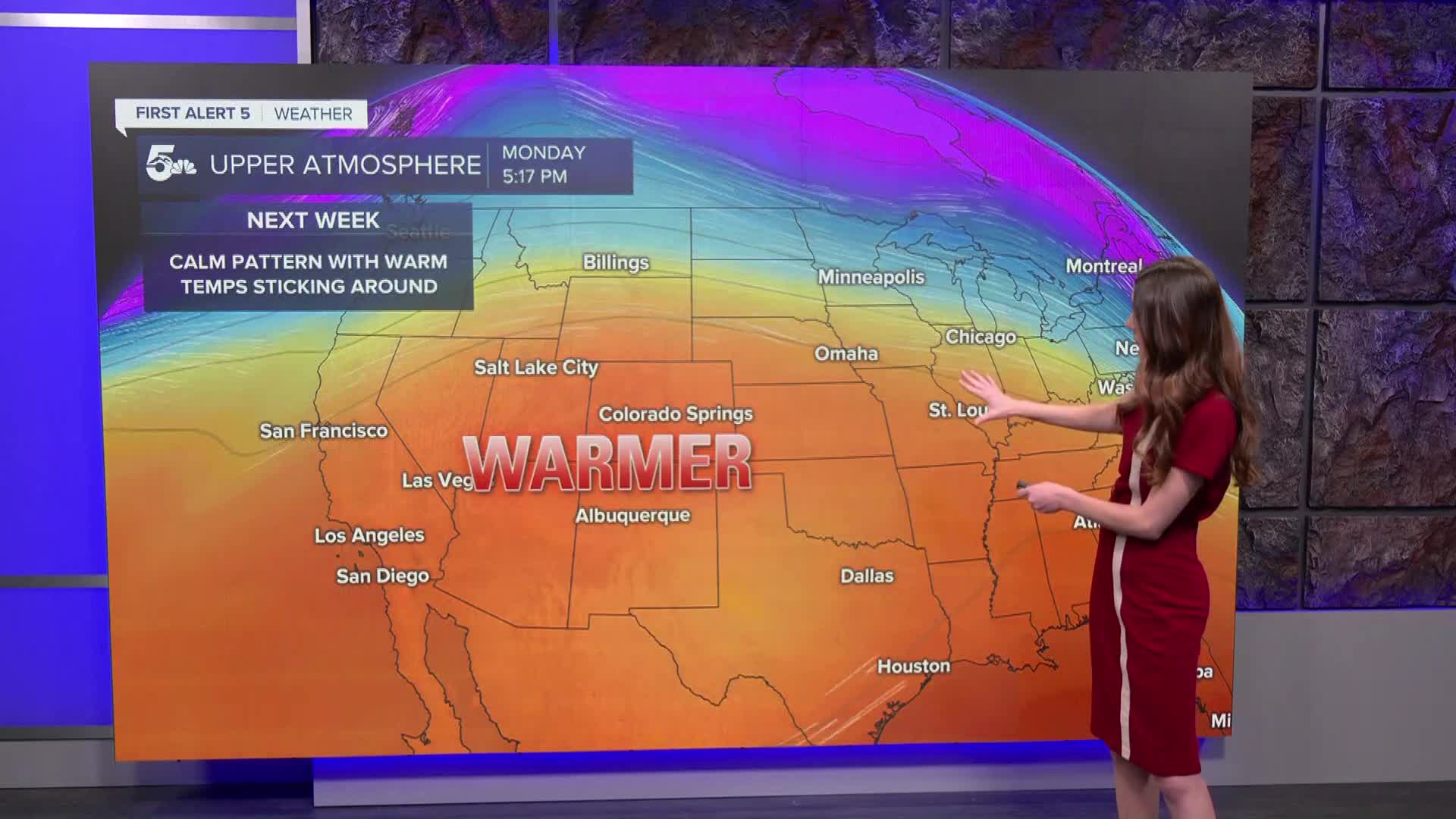
Looking ahead, there's no big changes on the way. A ridge of high pressure will sit over Colorado throughout the next 7 days. This will keep conditions warm and dry. There will be plenty of sunshine throughout southern Colorado. Potential changes won't arrive until late next week and into the following weekend.
____
Curious about the First Alert 5 Weather Storm Impact Scale? Check out our cheatsheet explainer.
Watch KOAA News5 on your time, anytime with our free streaming app available for your Roku, FireTV, AppleTV and Android TV. Just search KOAA News5, download and start watching.
