

Today’s Forecast:

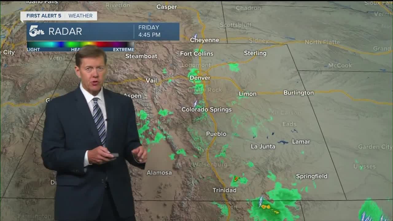
Today is going to be hot with a chance for isolated showers and storms in the afternoon. Dry air off the mountains will prevent most along the I-25 corridor from seeing any rain, but as storms move farther east into the plains, there will be more moisture to work with.
We'll see the best chance for storms in eastern Las Animas and Baca Counties today, and storms could be strong if not severe in those areas.
COLORADO SPRINGS: High: 80; Low: 48. Hot today with sunny skies in the morning and increasing clouds through the afternoon. Isolated showers or thunderstorms are possible in the afternoon but really dry air would make it hard for much rain to actually hit the ground.
PUEBLO: High: 88; Low: 48. Hot today with a pretty strong change we stay dry.
CANON CITY: High: 85; Low: 51. Warm with a small chance for an isolated shower or storm in the afternoon.
WOODLAND PARK: High: 73; Low: 42. Isolated showers or thunderstorms are possible in the afternoon but severe weather isn't expected.
TRI-LAKES: High: 70s; Low: 40s. Nice temperatures with a small chance for an isolated shower or thunderstorm in the afternoon.
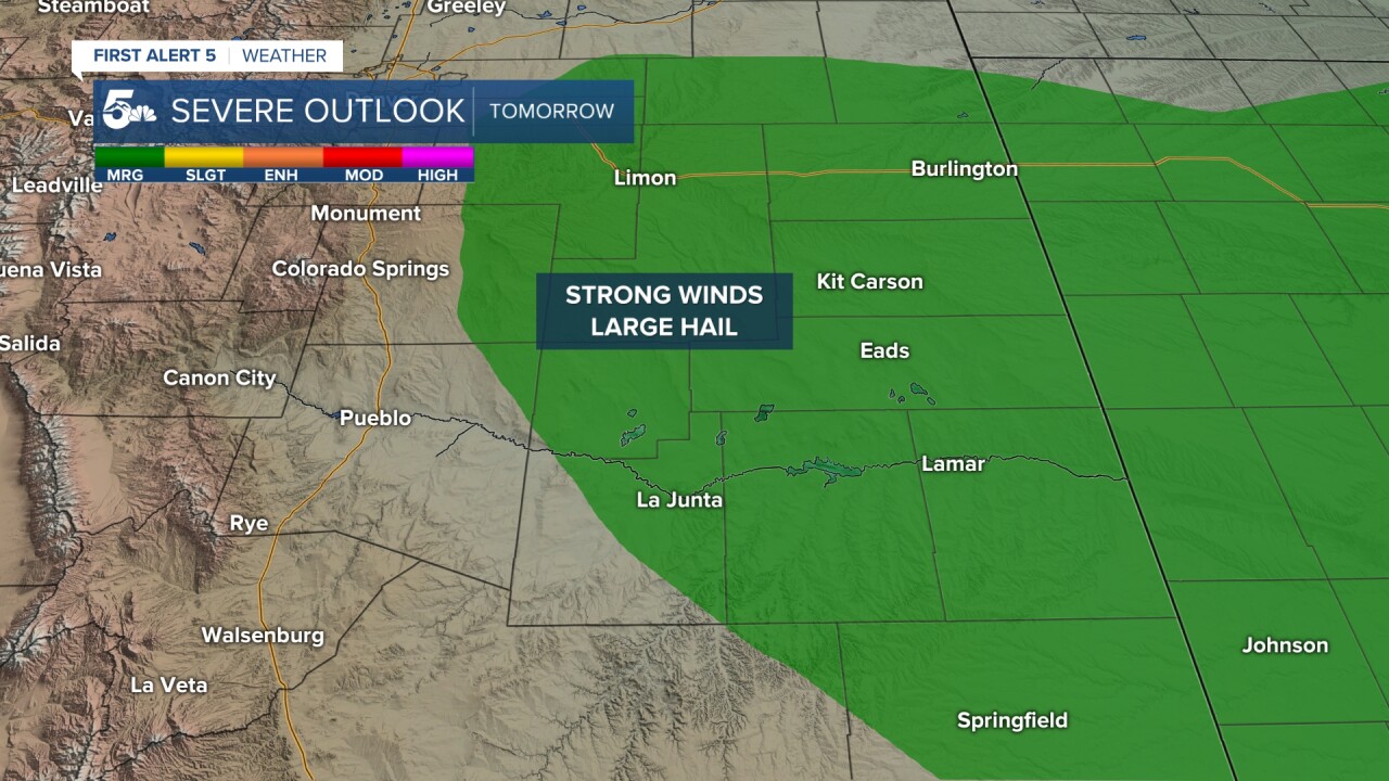
PLAINS: High: 80/90s; Low: 50s. Hot and dry until the mid to late afternoon when isolated thunderstorms could develop. Severe chances are best east of Crowley and Otero Counties, as well as eastern Las Animas and Baca counties. Any stray severe storms today would probably fall in Baca and Prowers counties with hail and strong winds as the main two threats.
WALSENBURG/TRINIDAD: High: 80s; Low: 40s. Hot and breezy with a small chance for isolated showers or thunderstorms.
MOUNTAINS: High: 60s; Low: 40s. Isolated showers and thunderstorms will be possible in the afternoon with lightning and gusty winds as the main threat to any hikers.
Extended Outlook:
Strong to severe storms are likely Saturday afternoon along and behind a cold front. We'll start seeing storms in northern El Paso county around 2 to 3 pm and they will then get stronger as they move east and southeast through 7 pm.

Snow is going to return to Colorado's Front Range Sunday night through Tuesday morning. Snow levels will easily drop to 7,000 feet Monday night through Tuesday morning, but we're starting to gain confidence that the levels could drop as low as downtown Colorado Springs.
While it's too early for accurate snow totals, we do think northern El Paso and Teller Counties are somewhere in the 4 to 8 inch range for snow.
KOAA News5 on your time, streaming on your Roku, FireTV, AppleTV and AndroidTV.
News5 App | First Alert 5 Weather App | Youtube | Facebook | Instagram | Twitter
