

Today’s Forecast:
Damaging winds overnight were responsible for at least one overturned semi-truck on I-25 near Interquest and thousands of power outages.
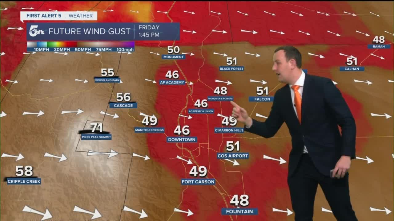
The maximum wind gusts have likely passed across the region, but we still have the ability to see gusts in the 50 to 70 mph range, through the first half of the day. Our strongest daytime wind gusts will shift south to the Wet Mountains, Sangre De Cristos, and I-25 from Colorado City to Trinidad.
Red Flag Warnings are in effect across most of our coverage area with extreme fire danger through the afternoon. If a grass fire were to start today, the winds would make it extremely difficult to contain and extinguish.
Winter Storm Warnings are in effect across the mountains today with moderate to heavy snow and white-out driving conditions through the lunch hour. If you had ski plans today, you should really reconsider them not just for the driving conditions, lift operations could be impacted from gusts up around 60 mph.
Colorado Springs forecast: High: 66; Low: 17. Warm and very windy today with 40 to 60 mph wind gusts in the morning and 30 to 40 mph gusts through the afternoon. Fire danger is extremely high until 5 pm today with dry skies across the city. The strongest wind gusts will generally stay on the west side of the interstate and up around Monument Hill. The winds will become calm tonight, and we'll get very cold with lows falling to the teens.
Pueblo forecast: High: 69; Low: 14. Very warm and windy with gusts in the 20 to 40 mph range. Blowing dust and extreme fire danger is the main area of concern for Pueblo today as the strongest gusts will likely stay south of town near Colorado City. The winds will die down tonight and we'll be really cold with lows in the mid-teens.
Canon City forecast: High: 67; Low: 17. Warm and very windy with gusts in the 30 to 50 mph range. Fire danger is extremely high today with lots of blowing dust and tumbleweeds. We'll see the strongest wind gusts south of town into the mountains and a few areas west through the Arkansas River Valley. The winds will die down tonight and we'll be cold with lows in the teens.
Woodland Park forecast: High: 41; Low: 18. Chilly and windy today with gusts in the 40 to 60 mph range, mostly through the first half of the day. We have the potential for a few flurries today, generally on the west side of Teller County with no travel impact. We'll be calm and really cold tonight with dry skies.
Tri-Lakes forecast: High: 40s; Low: 10s. Chilly and really windy with wind gusts in the 40 to 60 mph range in the morning. The winds will relax a bit through the afternoon, but we'll keep seeing gusts in the 30 and 40 mph range until 5 pm tonight. We'll stay dry today with really cold temperatures tonight.
Plains forecast: High: 60s; Low: 10s. Warm and windy with extreme fire danger and lots of blowing dust. Wind gusts will stay in the 30 to 50 mph range through 5 pm today, meaning fire danger is an all-day concern. Blowing dust will lead to low visibility at times today, and we'll see lots of tumbleweeds move east into Kansas.
Walsenburg and Trinidad forecast: High: 60s; Low: 10s. Extremely windy today with the strongest daytime winds shifting into the southern I-25 corridor from Walsenburg to Trinidad. 50 to 70 mph winds gusts will be possible through the mid-afternoon, meaning overturned semi-trucks and more power outages will remain possible all day. Blowing dust could reduce visibility along I-25 and easterly routes through the plains. Fire danger is very high today with calm and cold conditions tonight.
Mountains forecast: High: 40s; Low: 10s. Extremely windy today along the foothills of the Front Range and down the Wet Mountains and Sangre De Cristos. We'll see the strongest wind gusts in the Wet Mountains and Sangres through the first half of the day, possibly gusting as high as 70 mph. Out west, snow and 40 to 60 mph wind gusts will make I-70 and Monarch Pass driving very difficult and dangerous. Please reconsider ski-plans or at least check CDOT cameras before you head west.
Extended outlook forecast:
Saturday will stay cold and stay cold thanks to cloud cover. We'll be dry locally, but snow showers will be possible out west in the mountains.
We'll keep seeing chances for snow showers in the high country through next week, but locally we're just dry and windy here in the plains.
____
Curious about the First Alert 5 Weather Storm Impact Scale? Check out our cheatsheet explainer.
Watch KOAA News5 on your time, anytime with our free streaming app available for your Roku, FireTV, AppleTV and Android TV. Just search KOAA News5, download and start watching.
