

Tonight's Forecast:
A chance for showers and thunderstorms will pop up in the higher terrain, and a few of them will make it onto the I-25 corridor this evening. Some of these storms will be strong to severe. This is mainly in Teller county and across the Palmer Divide. This is just the beginning of the rain that we will get throughout the week.
Colorado Springs forecast: Low: 56; High: 79;
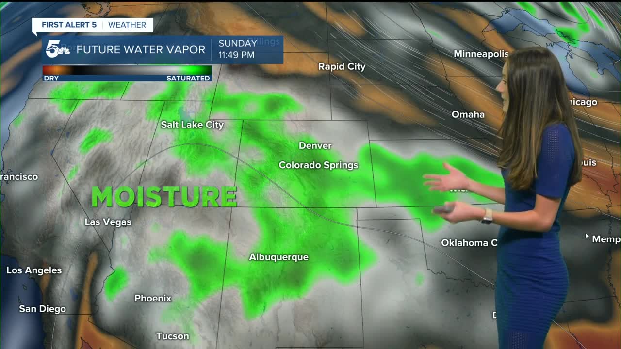
For Sunday, temperatures will remain below average as showers and storms pick up again. Topical moisture will move in along with a small disturbance in our atmosphere.
Storms are expected to move in during the afternoon and last into the evening. The flash flooding threat will also increase with more rain expected to move in, so make sure check the forecast before heading out.
Pueblo forecast: Low: 58; High: 86;
Pueblo will also have increase storm chances going into Sunday. Showers and storms will pick up by the mid-to-late afternoon, and clear out during the evening. Temperatures are expected to be cool again with highs only making it into the mid-80s.
Canon City forecast: Low: 61; High: 84;
Canon City will start to see the rain pick up around the afternoon hours after we have had a little bit of sunshine. There is a chance for some flooding in places where stronger thunderstorms move through. Highs will be in the mid-to-lower 80s.
Woodland Park forecast: Low: 47; High: 70;
Woodland Park will have some of the highest rain chances across the area with the mountains helping with initiation. Showers and thunderstorms will pop up by the early afternoon and last throughout the day. With the increase in rain, it is possible that some areas may see flash flooding. Highs will also continue to stay cool in the 70s.
Tri-Lakes forecast: Low: 53; High: 75;
Monument will see showers and storms starting around 2PM. Widespread rain will last throughout the day and into the evening. It won't be the best day to get outside and any outdoor activities are recommended to be done in the morning before the rain moves in.
Plains forecast: Low: 50s & 60s; High: 80s;
The Plains will also have showers and thunderstorms, though are expected to move in a little later than the I-25 corridor. These showers and storms will likely last throughout the rest of the evening and into the overnight hours. Rain will pick up again on Monday.
Walsenburg and Trinidad forecast: Low: 57/58; High: 83/86;
The southern I-25 corridor will start the morning off with mostly clear conditions, but more clouds will move in by the late morning. Rain and thunderstorms will move onto the I-25 corridor by the afternoon. There will be a risk for flash flooding, especially the higher terrain.
Mountains forecast: Low: 40s & 50s; High: 70s & 80s;
The mountains will see rain showers pop up around noon and become more widepsread by the afternoon. Flash flooding remains a concern for the lower canyons from all of the runoff. Highs will be in the 70s and 80s across the area.
Extended outlook forecast:
Looking ahead to the start of the work week, rain chances will pick up even more from Monday. With the ground already saturated, the flash flooding risk will continue to go up.
____
Curious about the First Alert 5 Weather Storm Impact Scale? Check out our cheatsheet explainer.
Watch KOAA News5 on your time, anytime with our free streaming app available for your Roku, FireTV, AppleTV and Android TV. Just search KOAA News5, download and start watching.
