
Tonight’s Forecast:
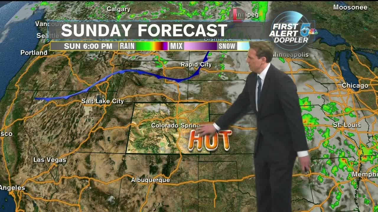
We broke records in Southern Colorado today with Alamosa, Colorado Springs and Pueblo all rewriting history. Dry air is firmly in place and aside from a few clouds, moisture for anything further is hard to come by. Tonight, Clear and pleasant with lows in the upper 50s to lower 60s.
On Monday, a cold front will move through the state, bringing occasionally gusty winds and dropping our temperatures 10-15 degrees from where they were on Sunday. A few clouds will develop as the front moves through, but overall, this airmass will pass through dry.
COLORADO SPRINGS: Low: 61, High: 81 Clear tonight with light winds and temperatures in the lower 60s. Mostly sunny on Monday and cooler with occasionally gusty winds. Highs in the lower 80s.
PUEBLO: Low: 63, High: 86. Clear tonight with light winds and temperatures in the lower 60s. Mostly sunny on Monday and cooler with occasionally gusty winds. Highs in the mid-80s.
CANON CITY: Low: 66, High: 87. Clear tonight with light winds and temperatures in the mid-60s. Mostly sunny on Monday and cooler with occasionally gusty winds. Highs in the upper 80s.
WOODLAND PARK: Low: 53, High: 74. Clear tonight with light winds and temperatures in the lower 60s. Mostly sunny on Monday and cooler with occasionally gusty winds. Highs in the lower 80s.
TRI-LAKES: Low: 50s, High: 70s. Clear tonight with light winds and temperatures in the 50s. Mostly sunny on Monday and cooler with occasionally gusty winds. Highs in the upper 70s.
PLAINS: Low: 60s, High: 80s/90s. Clear tonight with light winds and temperatures in the 60s. Mostly sunny on Monday and cooler with occasionally gusty winds. Highs in the upper 80s to lower 90s.
WALSENBURG/TRINIDAD: Low: 60s, High: 80s. Clear tonight with light winds and temperatures in the lower 60s. Mostly sunny on Monday and cooler with occasionally gusty winds. Highs in the 80s.
Extended Outlook:
Looking ahead, it appears as though we will, for the most part, keep things dry. On Tuesday, we’ll have an upslope flow that could potentially develop some isolated showers in the mountains and along the front range. However, we continue to be so dry that it will be difficult for anything truly significant to pop up. High pressure will begin to build in for Wednesday and Thursday and with continued dry conditions, we could once again be talking about breaking records on Thursday. Moisture starts to work back into Colorado for Friday and increases our chances for showers and thunderstorms, with cooler temperatures on tap for next weekend.
