

Today’s Forecast:
More cold is expected across southern Colorado today with scattered snow showers in the mountain and windy weather across the plains.
Dense fog over northern El Paso county will linger through the mid-morning and slow quick commutes to Denver by a few minutes.
What little snow we have up in the mountains will come with light accumulation through the afternoon and evening. A few towns adjacent to the mountains like Canon City, Colorado Springs, or Walsenburg could see a few flurries late today or tonight, but most of I-25 and east is expected to see no snow accumulation.
If you don't see any snow at your house, you'll still be cold and windy with gusts in the plains in the 20 to 30 mph range. Highs will be in the 30s in the plains and 20s in the mountains.
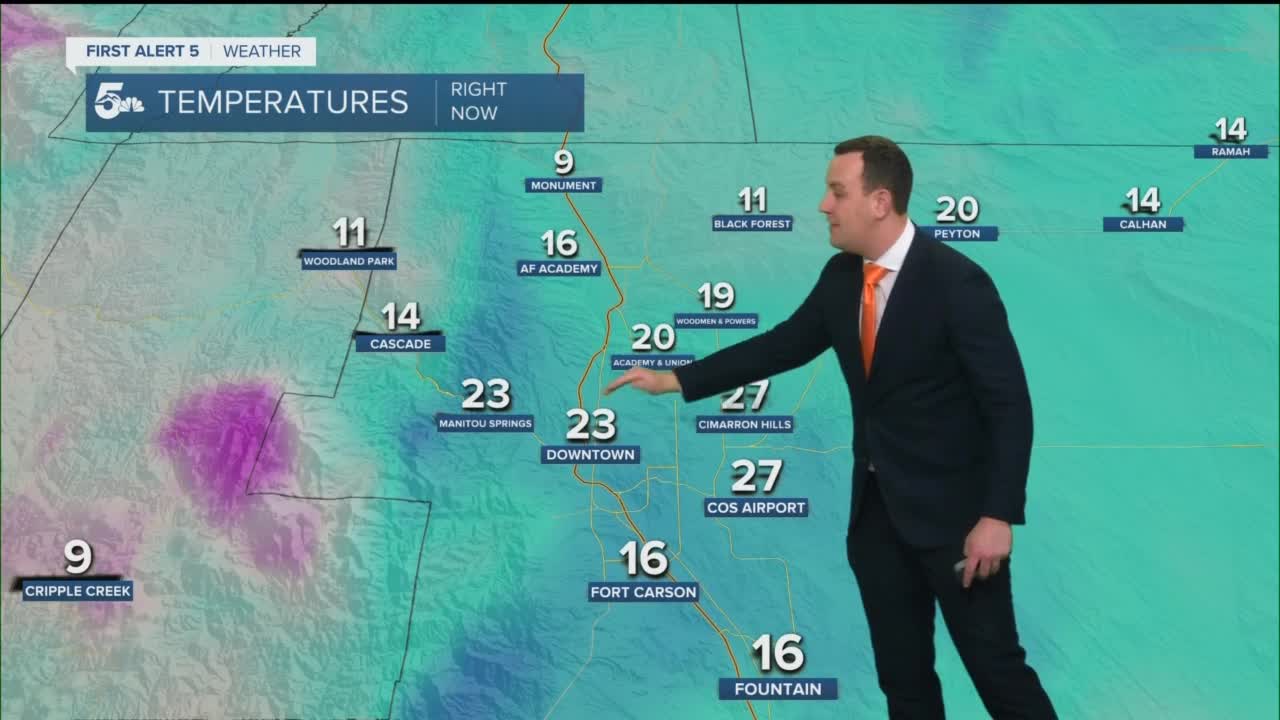
Colorado Springs forecast: High: 33; Low: 15. Foggy skies are expected across northern Colorado Springs through the morning with dry skies by lunch. Mostly cloudy, windy, and cold with a chance for a late day and early evening flurry.
Pueblo forecast: High: 38; Low: 18. Becoming mostly cloudy, cold, and windy with dry daytime and evening conditions.
Canon City forecast: High: 37; Low: 20. Other than a stray late day or evening flurry, most of the day today should be dry, cold, and cloudy.
Woodland Park forecast: High: 25; Low: 6. Cloudy and cold with light snow showers or flurries in the afternoon and early evening. Any snow accumulation would be minor, but it could cause a few slick spots in the evening.
Tri-Lakes forecast: High: 30s; Low: >10. Mostly cloudy, cold, and windy with a chance for flurries or light snow at the end of the day. If we do see any light snow this evening, accumulations would be extremely light.
Plains forecast: High: 30s; Low: 10s. Mostly cloudy, cold, and windy with dry skies through the afternoon and evening.
Walsenburg and Trinidad forecast: High: 30s; Low: 10s. Mostly cloudy, windy, and cold with a small chance for an evening flurry with little to no accumulation.
Mountains forecast: High: 20s; Low: >10. Mostly cloudy and cold with light snow showers through the afternoon and evening. An inch or two could accumulate across some of our local mountains through the evening, so watch for a few slick spots on mountain roads.
Extended outlook forecast:
Wednsday will be very similar to Tuesday with more light mountain snow and a few flurries along I-25.
A slight warm-up is expected by Friday, but a cold front Saturday morning will quickly put highs back in the 30s for the plains. Snow showers are possible Saturday night with arctic air lingering through Sunday.
Another arctic blast is possible early next week, with Tuesday as the day with the coldest forecast temperatures.
____
Curious about the First Alert 5 Weather Storm Impact Scale? Check out our cheatsheet explainer.
Watch KOAA News5 on your time, anytime with our free streaming app available for your Roku, FireTV, AppleTV and Android TV. Just search KOAA News5, download and start watching.
