


Today’s Forecast:
Stray flurries possible off and on today across the mountains and adjacent mountains town in southern Colorado, but most of the region just stays dry and breezy. We'll see mostly sunny skies today with increasing cloud cover as the day progresses, especially over the mountains. Overnight snowfall will start increasing over the Sangre De Cristos and San Luis Valley, spreading east into the Front Range, Wet Mountains, and I-25 corridor by Sunday morning.
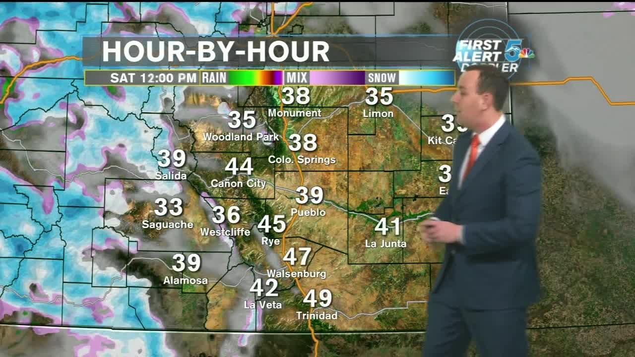
A detailed snow forecast across our region is at the bottom of this story.
COLORADO SPRINGS: High: 46; Low: 24. Partly Cloudy, chilly, dry, and breezy.
PUEBLO: High: 52; Low: 26. Mostly sunny, dry, light winds, and mild.
CANON CITY: High: 50; Low: 28. Partly cloudy, breezy and mild but with a few late day and evening flurries possible.
WOODLAND PARK: High: 39; Low: 16. Partly sunny and cold with occasional daytime and evening flurries possible.
TRI-LAKES: High: 40s; Low: 10s. Mostly sunny, dry, breezy, and chilly.
PLAINS: High: 50s; Low: 20s. Mostly sunny, dry, light winds, and mild.
WALSENBURG/TRINIDAD: High: 50s; Low: 20s. Partly cloudy, breezy, and dry other than a few light snow showers or flurries out west into the mountains through the evening.
Sunday Snowstorm:
Snow will start to increase across the Continental Divide this afternoon and not stop falling until Sunday evening. For southern Colorado, most of our snowfall will arrive early Sunday morning, and continue in moderate to heavy waves through Sunday night. Snow will stop by Monday morning, but bitter cold temperatures and heavy accumulations will make early morning travel difficult and dangerous.
Timing: Snow starts early Sunday morning and ends late Sunday night/early Monday morning.

Snowfall across El Paso and Teller counties is still under a degree of uncertainty at this point. Upslope flow from an early morning cold front and strong jet stream energy will be fighting a drying effect from north winds off the Monument Hill area. This will likely mean that the heaviest snow in our area will favor areas south of Woodmen road, and west of I-25. Teller County will see heavy snow, but southern Teller County will be where totals are largest through Sunday night.

Some of the heaviest snow in our region will fall through Fremont and Custer Counties, as well as the Wet Mountains. Upslope winds and jet stream energy should drop a foot or more over most of the Wet Mountains, as well as heavy snow forecast through the Wet Mountain valley. Canon City and highway 50 west will see heavy snowfall, with generally less snow expected as you travel east towards Pueblo. If you live in the Wet Mountains or west of Canon City, get out today and pick up anything you need to ride out the snow Sunday.

Confidence is fairly high for snow totals from Walsenburg to La Veta, but less so in Trinidad. La Veta Pass could very well be shut down at times on Sunday due to heavy snow and gusty winds. Trinidad should see at least 3 inches of snow, but anything higher than that still remains to be seen. Travel will be slow and dangerous on I-25 through this stretch, and epecially west through the mountain roads. Occasional gusty winds could lead slow even slower drives.
