

Tonight's Forecast:
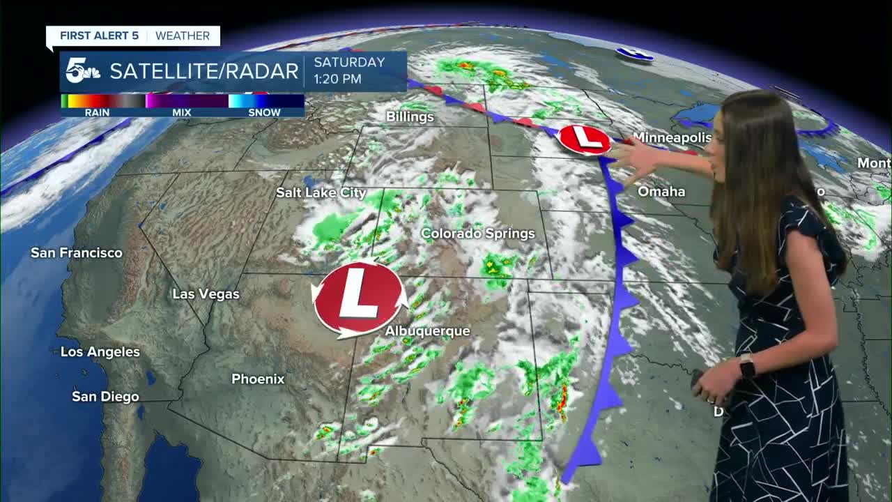
There will be a few more storms this evening and it will take a few hours beyond sunset for rain to clear the area. Temperatures will be chilly overnight, especially in the San Luis Valley. Frost Advisories will be in place for parts of the San Luis Valley until 9AM on Sunday. Protect any sensitive vegetation.
Colorado Springs forecast: Low: 47; High: 73;
A few more storms will move into the area over the next few hours and by early Sunday morning, most of these storms will have dissipated. Showers tomorrow will be very isolated and not everyone will get rain. Highs will be in the lower 70s.
Pueblo forecast: Low: 50; High: 80;
For Pueblo, conditions will improve going into Sunday. Much calmer conditions are expected along with temperatures returning into the 80s. There will still be some spotty showers further north that may move into the area, but mostly everyone will stay dry.
Canon City forecast: Low: 50; High: 77;
Canon City will also see conditions improve going into Sunday. Early morning temperatures will be chilly in the lower 50, but by the afternoon temps will have risen into the upper 70s. Not much rain is expected and conditions will continue to improve going into Monday.
Woodland Park forecast: Low: 38; High: 61;
Woodland Park has more chances for some lingering rain overnight and into early tomorrow morning. Morning temperatures will be chilly in the upper 30s. By the afternoon these highs will have risen into the lower 60s.
Tri-Lakes forecast: Low: 45; High: 70;
Monument will have more showers early on Sunday. Morning lows will be in the mid-40s with a few clouds in the area. As the low wraps around things will continue to clear out, but it wouldn't be surprising to see more clouds later on. Highs will be in the 70s.
Plains forecast: Low: 50s; High: 70s & 80s;
The plains will have a few more showers overnight, but will clear throughout the day. Temperatures will be warm in the 70s and 80s by the afternoon. Conditions will continue to warm into Monday.
Walsenburg and Trinidad forecast: Low: 48/46; High: 75/79;
The southern I-25 corridor doesn't have as much of a chance for showers and thunderstorms this evening and tomorrow. Temperatures will be in the 40s early in the morning and eventually warm into the mid-to-upper 70s by the afternoon.
Mountains forecast: Low: 30s & 40s; High: 60s & 70s;
The mountains will get chilly overnight also dropping into the 30s for the higher elevations. There is still a chance for showers and thunderstorms for the central mountains, but the coverage will decrease. Highs will be in the 60s and 70s.
Extended outlook forecast:
We will have a quiet next few days with temperatures continuing to warm. The next system we are watching arrives around Wednesday. A few of the models are still unsure about the timing of the cold front. This could shift the timing of the rain as well. Currently, it looks like Wednesday will have the best chance for rain.
____
Curious about the First Alert 5 Weather Storm Impact Scale? Check out our cheatsheet explainer.
Watch KOAA News5 on your time, anytime with our free streaming app available for your Roku, FireTV, AppleTV and Android TV. Just search KOAA News5, download and start watching.
