

Tonight’s Forecast:
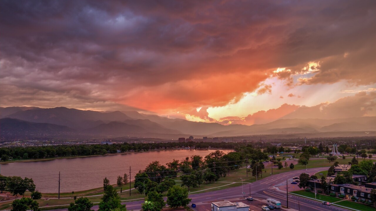
We are in the midst of an active weather pattern! Plenty of moisture at the surface, plenty of energy in the atmosphere, and plenty of heat during the day to stir it all up! Tonight, scattered showers and thunderstorms will come to an end by midnight and we’ll be left with partly clear skies and lows in the lower to mid-50s. Winds will shift from the East to the South.
With remaining cloud cover tonight and lingering into tomorrow morning, the atmosphere will still be stockpiled with moisture. However, the shift in winds should help to take down the level and quantity of strong storms. There is still plenty of energy in the atmosphere though and afternoon scattered showers and thunderstorms are once again on the plate. These will be more of the ‘popcorn’ variety, where they pop up, rain hard, and then quickly die off. Keep an eye out for flash flooding if you are near the burn scars or rivers. Highs on Sunday will be warmer – lower 80s for the Springs and upper 80s for Pueblo.
COLORADO SPRINGS: Low: 53, High: 82. Showers and thunderstorms early, then partial clearing. Lows in the lower 50s. Warmer on Sunday, but still mostly cloudy with scattered afternoon showers and storms. Highs in the lower 80s.
PUEBLO: Low: 59, High: 88. Tonight, becoming partly cloudy with low in the upper 50s. Partly cloudy early on Sunday with widely scattered showers and thunderstorms. Highs in the upper 80s.
CANON CITY: Low: 59, High: 87. Tonight, mostly clear with temperatures near 60. Mostly cloudy on Sunday with widely scattered afternoon showers and thunderstorms. Highs in the mid to upper 80s.
WOODLAND PARK: Low: 48, High: 74. Partly cloudy tonight with lows in the upper 40s. Becoming mostly cloudy on Sunday with scattered afternoon showers and thunderstorms. Highs in the mid 70s.
TRI-LAKES: Low: 50s, High: 70s. Showers and thunderstorms early, then partial clearing. Lows in the lower 50s. Warmer on Sunday, but still mostly cloudy with scattered afternoon showers and storms. Highs in the upper 70s.
PLAINS: Low: 50s, High: 80s. Clearing tonight with lows in the 50s. Partly cloudy early on Sunday with increasing clouds, showers, and eventually thunderstorms by late afternoon. Highs in the upper 80s.
WALSENBURG/TRINIDAD: Low: 50s, High: 80s. Partly cloudy tonight with lows in the 50s. Mostly cloudy on Sunday with widely scattered showers and thunderstorms. Highs in the lower 80s.
Extended Outlook:
Monday looks to be the last day of this particular weather maker, giving us one more day of afternoon showers and storms before a bit of a reprieve on Tuesday. By Wednesday, the return of afternoon showers and storms developing in the mountains and escaping onto I-25 and the Plains reenters the forecast. This trend will stick with us for the remainder of the week. Temps will be warm – into the mid-80s to lower 90s for the Springs, but these temps will be effected by how much the mountain thunderstorms decide to visit us in the lower elevations.
